


“Maps guide the journey, but knowing how to read the landscape shapes the adventure.”
Choosing the Right App for Hiking, Backpacking, and Overlanding
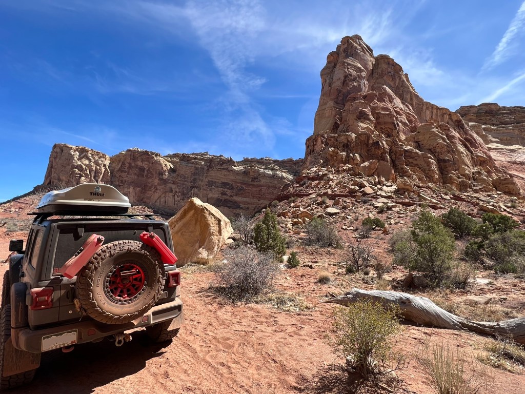
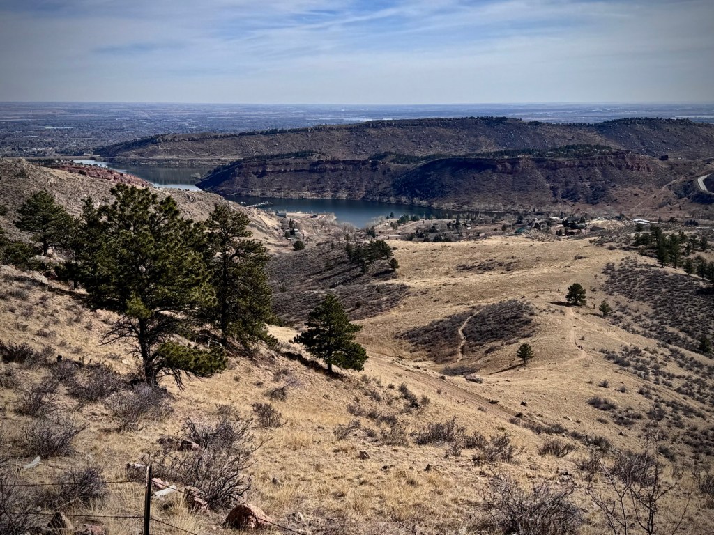
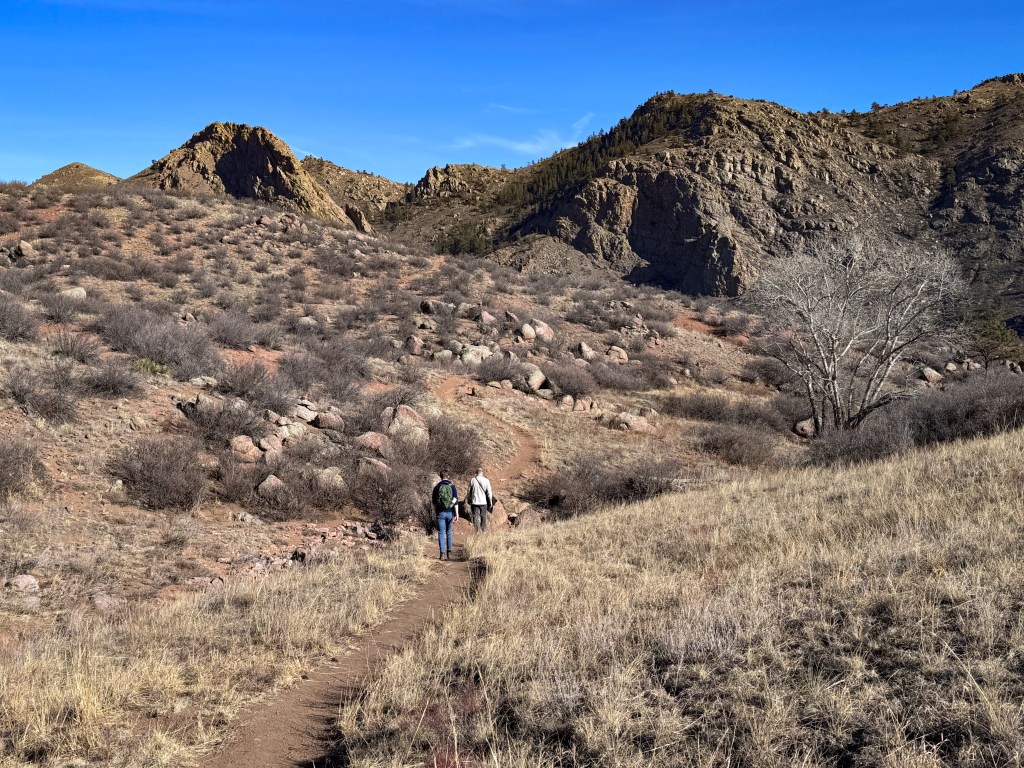
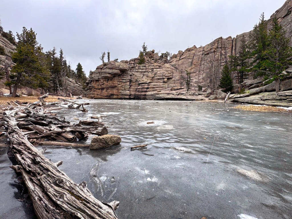
When you venture beyond the beaten path, navigation becomes more than just a convenience — it’s essential for both safety and adventure. Today’s navigation apps offer a powerful toolkit, blending detailed maps, offline access, route planning, and GPS tracking right into your pocket. But not all apps are created equal, and the best one for you might depend on your adventure style.
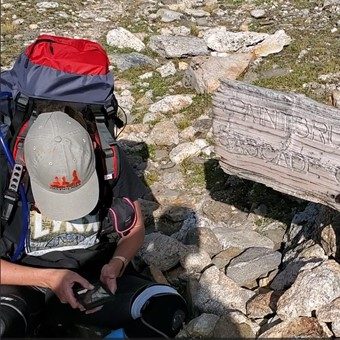
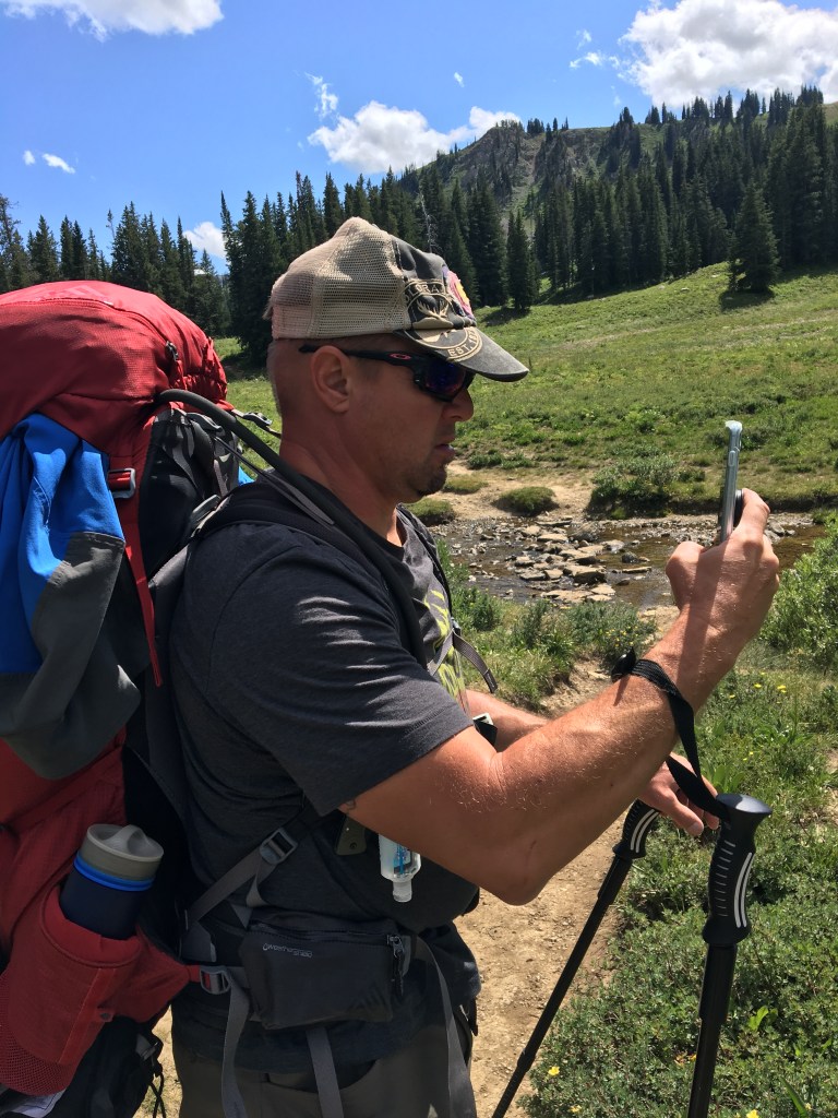
I’ve been using Gaia GPS for over 8 years now, logging countless trails from rugged overlanding routes to remote backpacking paths to weekend hiking trips. Along the way, I’ve also explored other options like AllTrails, onX Backcountry, CalTopo, and for those in Colorado, COtrex.
Here’s a look at some of the top navigation apps, their strengths, and what to consider when choosing your digital trail companion.
1. Gaia GPS
Best for: Serious hikers, backpackers, and overlanders
Gaia has been my trusted adventure companion for nearly a decade. I love that I can build detailed routes, download multiple map layers for offline use, and track our progress in real time across everything from mountain passes to backcountry 4×4 trails.
One of the standout features for me — and a big reason I initially chose Gaia — was access to the NatGeo Trails Illustrated Maps (available with a subscription). These are incredibly detailed maps, especially useful when planning adventures in National Parks and Monuments, where having official trail systems, landmarks, and topographic features is crucial.
Pros:
- Extensive map layers: topo, satellite, USFS, public land overlays, MVUM (Motor Vehicle Use Maps), and more
- NatGeo Trails Illustrated Maps included with subscription (great for National Parks/Monuments planning)
- Highly customizable route planning and waypoint creation
- Reliable offline functionality
- Great for multi-day trips and remote exploration
- Syncs between desktop and mobile
Cons:
- Interface has a steeper learning curve compared to simpler apps
- Subscription required for premium layers and offline maps
- Can feel overwhelming if you just want a quick day hike planner
2. AllTrails
Best for: Casual hikers and day trip adventurers
AllTrails is widely popular for a reason — it’s incredibly user-friendly, with a massive database of curated hikes, complete with reviews, photos, and recent trail reports. If you’re looking for a new trail to explore without diving deep into route planning, this is a fantastic place to start.
While AllTrails shines for day hikes, I’ve also used it to create custom backpacking itineraries and share plans easily with group members. Most of my friends have access to AllTrails, which makes it a convenient way to coordinate trips and make sure everyone is on the same page about the route, campsites, and distances.
Pros:
- Huge trail database with community reviews and photos
- Simple, intuitive interface
- Great for discovering new hikes based on location, distance, difficulty, or features
- Easy to share planned routes with group members (great for group trip coordination)
- “Navigate” mode for following popular trails
Cons:
- Limited custom route creation tools compared to apps like Gaia or CalTopo
- Some maps lack detail for true backcountry navigation
- Offline maps and real-time location tracking require a Pro subscription

3. onX Backcountry
Best for: Off-trail exploration, public land navigation, and winter backcountry travel
When you’re roaming the vast open spaces of National Forests, desert BLM lands, or alpine wilderness where trails fade and boundaries matter, onX Backcountry becomes an essential tool. Designed for adventurers who crave untamed routes, it offers outstanding public land maps, offline navigation, and winter safety layers.
It also shines for winter adventures, with integrated avalanche forecasts and snow-depth layers.
Pros:
- Detailed Forest Service, BLM, and public land boundary maps
- Avalanche forecast integration (great for winter backcountry trips)
- Offline downloads are easy and fast
- Built-in 3D maps for visualizing terrain
Cons:
- Higher subscription cost compared to some other apps
- Not as many marked trails listed compared to AllTrails
- Interface better suited for route discovery and land navigation than custom trail building
4. CalTopo
Best for: DIY mappers, backcountry skiers, mountaineers, search and rescue teams, and serious planners
CalTopo is a powerhouse for those who need precision and flexibility. Originally built for search and rescue operations, it has become a favorite among backcountry skiers, mountaineers, and expert navigators. I’ve had backcountry skiers share detailed custom routes with me using CalTopo — showing just how useful it is for coordinating safe travel through complex, avalanche-prone terrain.
With its wealth of customizable layers — slope angle shading, avalanche paths, sun exposure, fire history, and more — it’s ideal for building advanced maps or planning remote trips where every contour and hazard matters.
Pros:
- Extreme control over layers and map details (slope, sun, fire history, etc.)
- Custom route building and planning tools
- Slope angle shading critical for avalanche risk planning
- Easy sharing of maps and routes with team members (ideal for group trips)
- Printable maps for offline backup
- Team collaboration features for expeditions and backcountry trips
Cons:
- Steep learning curve
- More complex than necessary for casual hiking
- Some offline and advanced features behind a subscription
📍 Pro Tip: Why Slope Angle Matters
When traveling in avalanche terrain — whether skiing, mountaineering, or winter backpacking — knowing the slope angle is critical.
- Most human-triggered avalanches occur on slopes between 30° and 45°.
- CalTopo’s slope angle shading makes it easy to visualize risky areas at a glance, helping you plan safer routes, especially during winter or in mountainous terrain.
Understanding slope angle isn’t just for pros — it’s a vital skill for anyone venturing into backcountry areas where snow, ice, and steep terrain are factors.
Smart planning starts with smart maps.

5. COtrex (Colorado Trail Explorer)
Best for: Trail users and outdoor lovers in Colorado
If you’re adventuring in Colorado, COtrex is a must-have — and it’s free! Created by Colorado Parks and Wildlife, it offers a comprehensive database of trails across public lands, including national parks, national forests, local parks, and BLM lands.
One of COtrex’s major strengths is that it provides up-to-date trail information, including alerts, closures, wildfire impacts, and avalanche forecasts when applicable. This makes it a reliable resource not just for finding new trails, but for ensuring safe and responsible adventures.
Pros:
- Free to use
- Developed and updated by Colorado Parks and Wildlife
- Includes trails across national parks, forests, local parks, and BLM land
- Offline maps available
- Route planning, trip recording, and progress tracking
- Real-time updates on trail conditions, wildfires, closures, and avalanche forecasts
Cons:
- Limited to Colorado (not useful outside the state)
- Map layers are less detailed compared to Gaia or CalTopo for complex backcountry planning
- Not as feature-rich for multi-day or remote expedition-style trips
Quick Comparison Summary
| App | Best For | Top Features |
|---|---|---|
| Gaia GPS | Serious hikers, backpackers, overlanders | Multi-layer maps, offline access, NatGeo maps, custom routes |
| AllTrails | Day hikers, group trips | Huge trail database, easy sharing, simple navigation |
| onX Backcountry | Public land navigation, winter adventurers | Forest Service and BLM maps, avalanche info, 3D terrain views |
| CalTopo | Expert planners, backcountry skiers, SAR teams | Advanced hazard layers, slope shading, custom routes, team sharing |
| COtrex | Colorado trail users | Free statewide trails, real-time alerts (closures, wildfires, avalanche forecasts) |
Final Thoughts
Choosing the right navigation app often depends on your adventure style and goals:
- For quick day hikes and easy group sharing: AllTrails is hard to beat.
- For serious multi-day backcountry trips and National Park adventures: Gaia GPS shines.
- For public land navigation and winter safety: onX Backcountry is a strong choice.
- For highly customized backcountry planning: CalTopo is the expert’s tool.
- For exploring Colorado’s trails: COtrex is a fantastic (and free!) resource.

There are many other outdoor apps available today, each offering different features, maps, and styles of navigation. These are the ones that Bill and I have personally used and trusted over the years, through countless hikes, backpacking trips, overlanding routes, and backcountry adventures. They’ve helped us plan smarter, travel safer, and explore farther.
No matter which app you choose, always download your maps for offline use before you head out — because cell service can disappear just when you need it most. Good navigation isn’t just about knowing where you’re going — it’s about giving yourself the freedom to explore with confidence.
Stay wild. Stay ready.
And always know your way home.


Leave a comment