Following ancient trade routes and Gitxsan stories through northern British Columbia
July 22, 2026
One Last Morning in Hyder
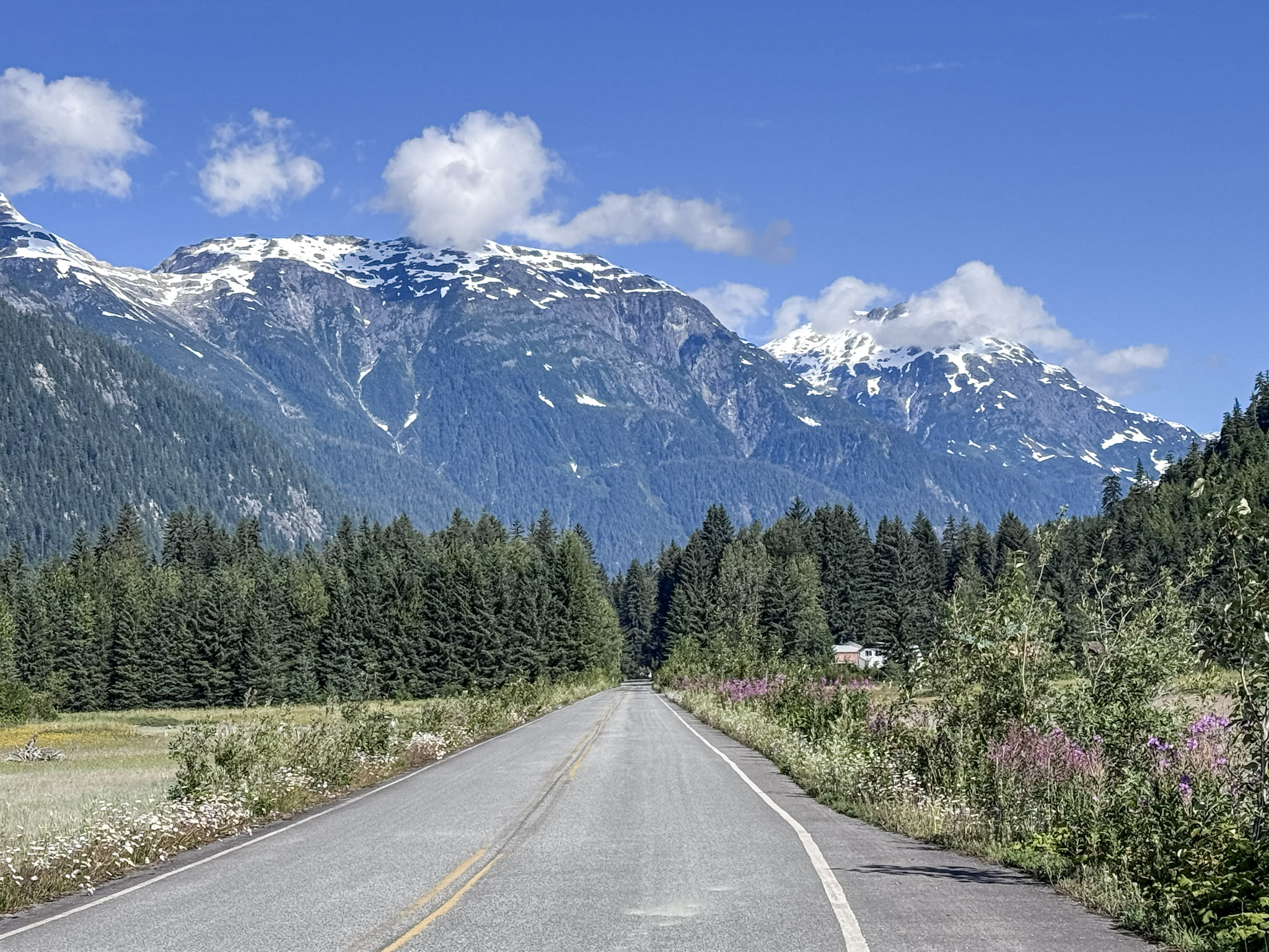
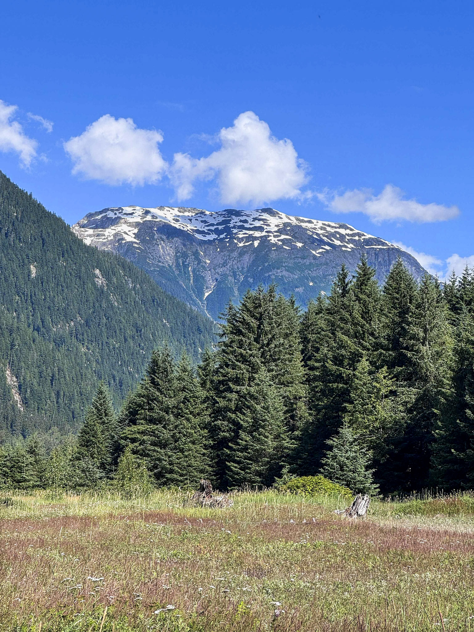
Morning in Hyder looked very different from the evening before. The mountains that had faded into shadow during our return from Salmon Glacier now rose beneath a brilliant blue sky, their upper slopes still patched with snow. Wildflowers lined the quiet road as we packed camp and headed toward the mouth of the Salmon River for one last look at this isolated corner of Alaska.
Under different circumstances, we might have returned to Fish Creek that morning. The annual salmon run normally draws both fish and bears into the valley, but the recent glacial outburst flood had changed everything. A breached ice dam had sent unusually powerful water through the drainage, damaging the observation area, altering channels, and filling the river with heavy gray silt. The ranger we had spoken with the previous day explained that the salmon had not yet begun moving upstream as expected.
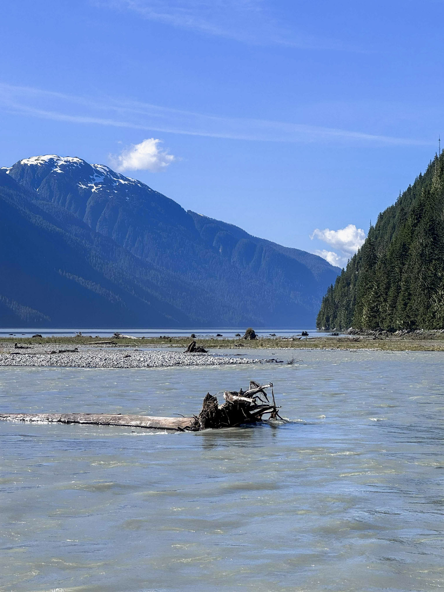
Instead, we followed the Salmon River toward Portland Canal. The river was still carrying clear evidence of the flood, with gray, sediment-heavy water moving swiftly around gravel bars, uprooted trees, and debris before spreading toward the long fjord between the mountains. Against the deep green forest and blue morning sky, its silty color stood out dramatically.
It was a peaceful place to spend our final few minutes in Alaska. There were no crowds or major attractions waiting at the end of the road—only mountains, river, forest, and the realization that this really was our last morning in the state.
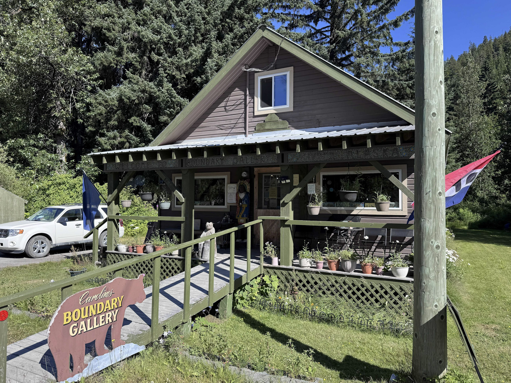
Before leaving town, we stopped at Caroline’s Boundary Gallery and Gifts, a wonderfully quirky little shop that seemed perfectly suited to Hyder. We wandered through the gallery, talked with the owner, and picked up some homemade fudge for the road before finally crossing the border. This time, Alaska really was behind us.
Breakfast Back in Stewart
Returning to Canada was considerably more official than entering Hyder had been. We passed through the Canadian customs station and continued the few miles back into Stewart, where breakfast seemed like the appropriate first order of business.
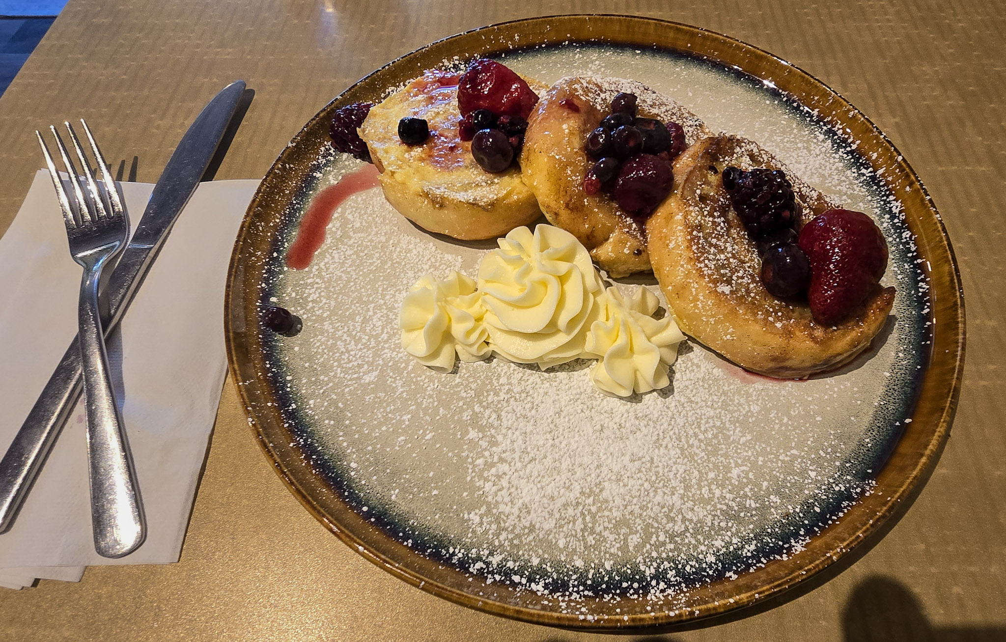
After so many camp breakfasts and meals assembled beside the Jeep, sitting down in a café felt like a small luxury. I ordered huevos rancheros, while Bill went for French toast topped with berries and powdered sugar—a relaxed start before we turned away from the coast and began another long day on the road.
Stewart was glowing in the morning sun, and the steep mountains surrounding Portland Canal looked completely different beneath clear skies. As we retraced Highway 37A toward Meziadin Junction, waterfalls still spilled from lingering snowfields high above the road. We stopped once more at Bear Glacier, which now felt less like a discovery and more like a final goodbye to the dramatic landscape that had carried us into Stewart and Hyder.
At Meziadin Junction, we paused briefly beside the blue water of Meziadin Lake before rejoining the Stewart-Cassiar Highway and continuing south. From there, the fjords, glaciers, and waterfalls gradually gave way to broader valleys and long stretches of forest—a subtle shift in scenery that also marked the beginning of a very different kind of day.
South on the Cassiar
South of Meziadin Junction, we settled back into the rhythm of the Cassiar Highway, following it through broad valleys, dense forest, and mountain country still streaked with patches of snow. Somewhere along that stretch, a grizzly appeared briefly beside the road—one more fleeting wildlife encounter before disappearing almost as quickly as we had spotted it.
By the time we approached Kitwanga, we were nearing the end of a road we had joined two days earlier near the Yukon border. The Stewart-Cassiar stretches roughly 450 miles through northern British Columbia, and reaching its southern end at Highway 16 felt like another quiet milestone.
Before turning onto the Yellowhead Highway, however, we made one more stop. Gitwangak Battle Hill National Historic Site would shift the story of the day away from the roads and landscapes we had traveled and toward the people who had been moving through this region long before either highway existed.
Where the Grease Trail Passed
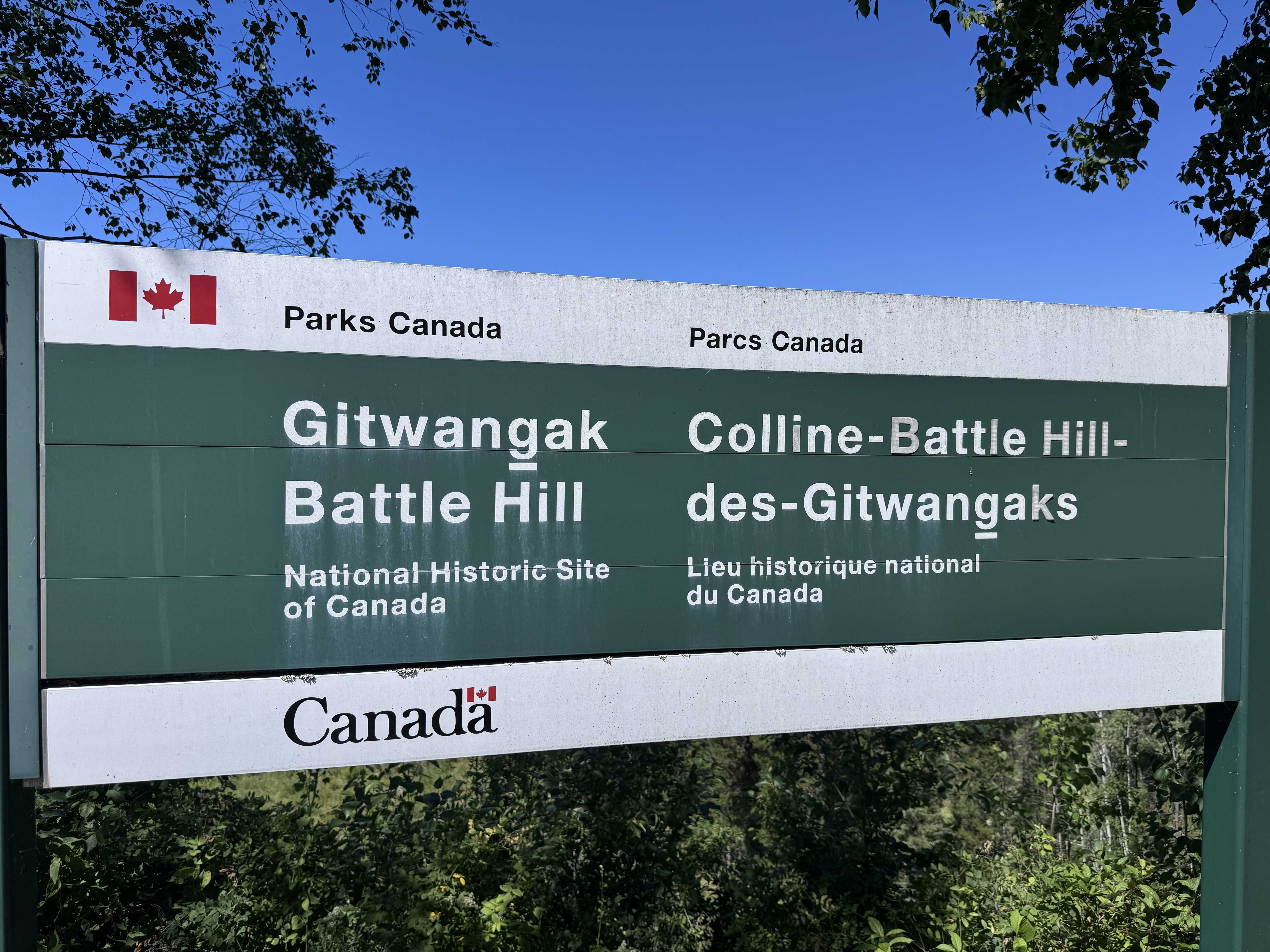
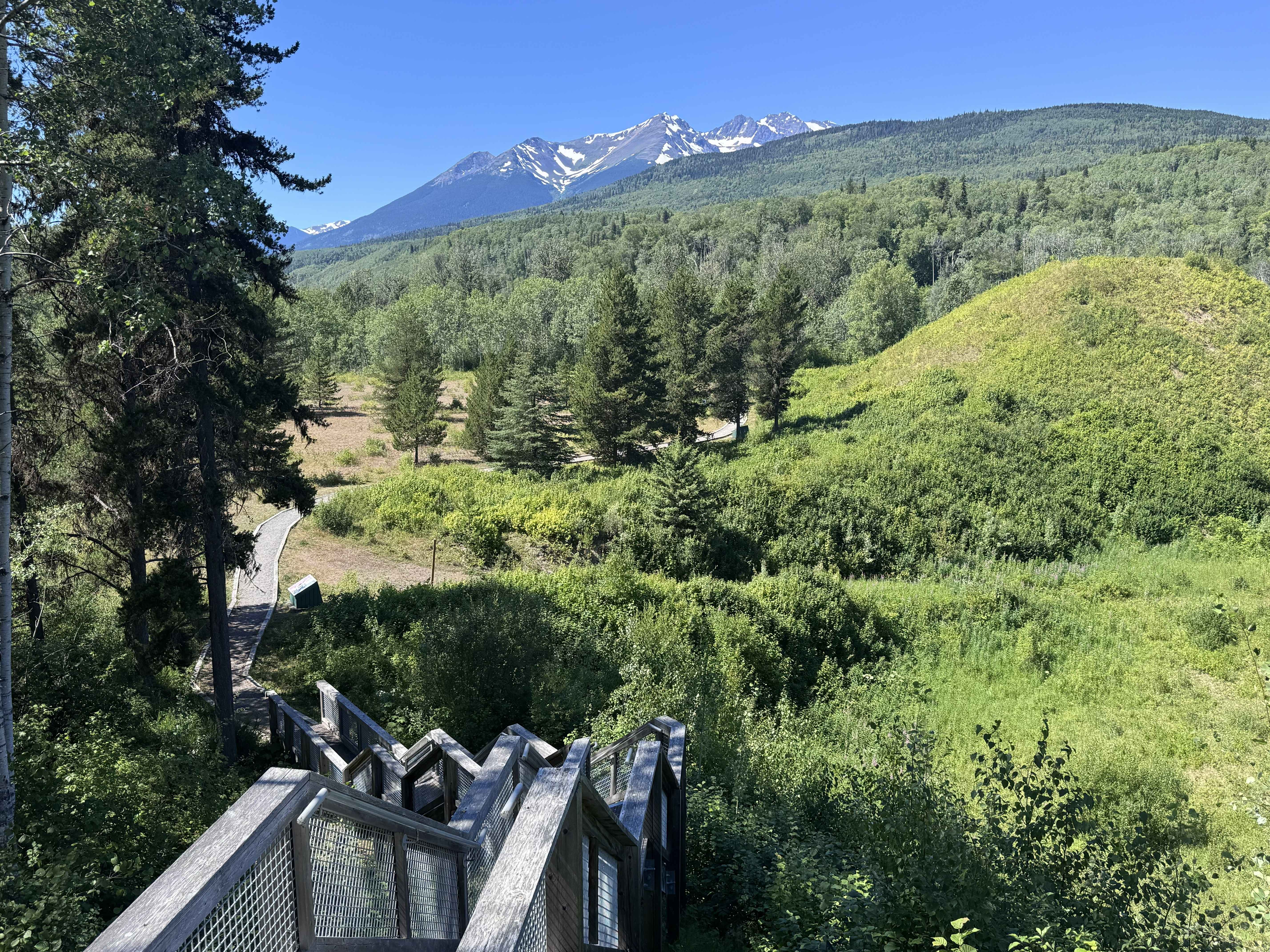
Just before reaching the end of the Cassiar, we stopped at Gitwangak Battle Hill National Historic Site, where a grassy hill rises above the Kitwanga River and forested valley beyond. A wooden stairway led toward the site, with Battle Hill visible ahead and snow-streaked mountains in the distance.
At first glance, it is an understated place. No buildings remain on the hill today, yet interpretive signs revealed that a fortified Gitwangak village once stood here beside an important network of Indigenous travel and trade routes.
For thousands of years, First Nations people moved through this region using rivers and overland trails that connected communities, hunting grounds, and trading partners. One of the major routes was the Kitwankul Trail, sometimes called the Grease Trail, which linked the Skeena and Nass river systems. Among the goods carried inland was rendered eulachon, or candlefish, grease—an especially valuable food and trade commodity that gave the route its familiar name.
It immediately brought me back to Pickhandle Lake in the Yukon, where we had first encountered the story of northern trade networks. What had seemed like separate pieces of history were beginning to connect. The modern highways we were following had not created movement through these landscapes; people had been traveling and trading across them for generations.
Archaeological excavations at Battle Hill uncovered the remains of five large cedar plank houses, along with hearths, storage pits, tools, trade goods, and evidence of salmon harvesting. Looking down toward the blue-green Kitwanga River, it was easy to understand why the location mattered.
The hill is also closely tied to Gitwangak oral histories of the warrior chief ’Nekt. Stories describe Battle Hill as a defensive stronghold and tell of ’Nekt’s grizzly-hide armor, war club, and spiked logs that could be released down the hillside toward attackers. His death in battle marked the end of an era at Battle Hill, and the community later moved to the present village of Gitwangak.
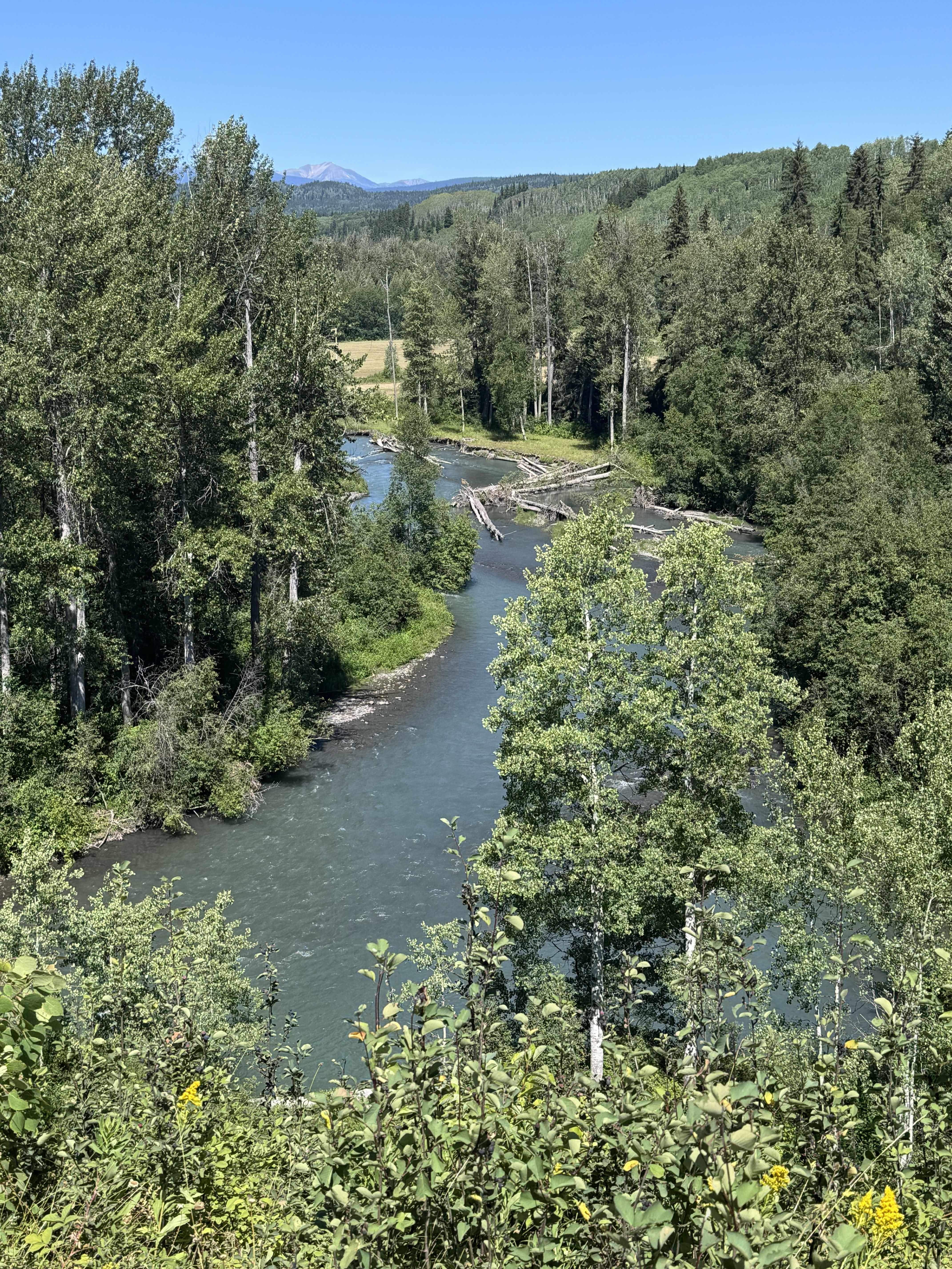
Standing there, the landscape began to look different. The river below was no longer simply another beautiful northern waterway, and the valleys surrounding it were not empty spaces between mountain ranges. They were routes to fishing grounds, communities, trading partners, and generations of stories.
From Battle Hill, we left the Cassiar behind and turned east toward Hazelton. To carry some of what we were learning with us, Bill and I found a podcast about First Nations history and stories to listen to along the way. Instead of the miles between cultural sites becoming simply another stretch of highway, we spent them listening—to history, storytelling, and music that added another dimension to the places passing outside our windows. It became one of my favorite parts of the day: learning not only by seeing where these stories unfolded, but by hearing voices and traditions connected to the wider culture of the North.
By the time we reached ’Ksan Historical Village and Museum, we already felt as though the day had become something more than a series of stops.
Stories Carved in Cedar
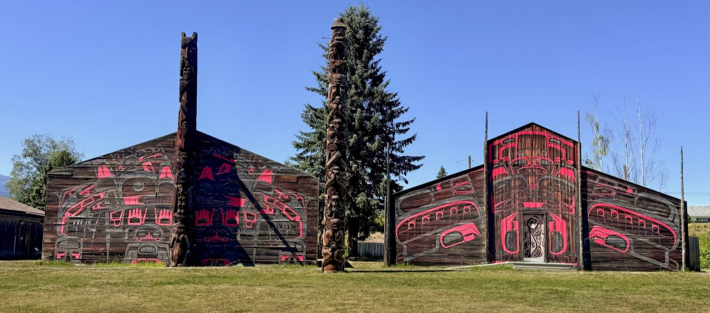
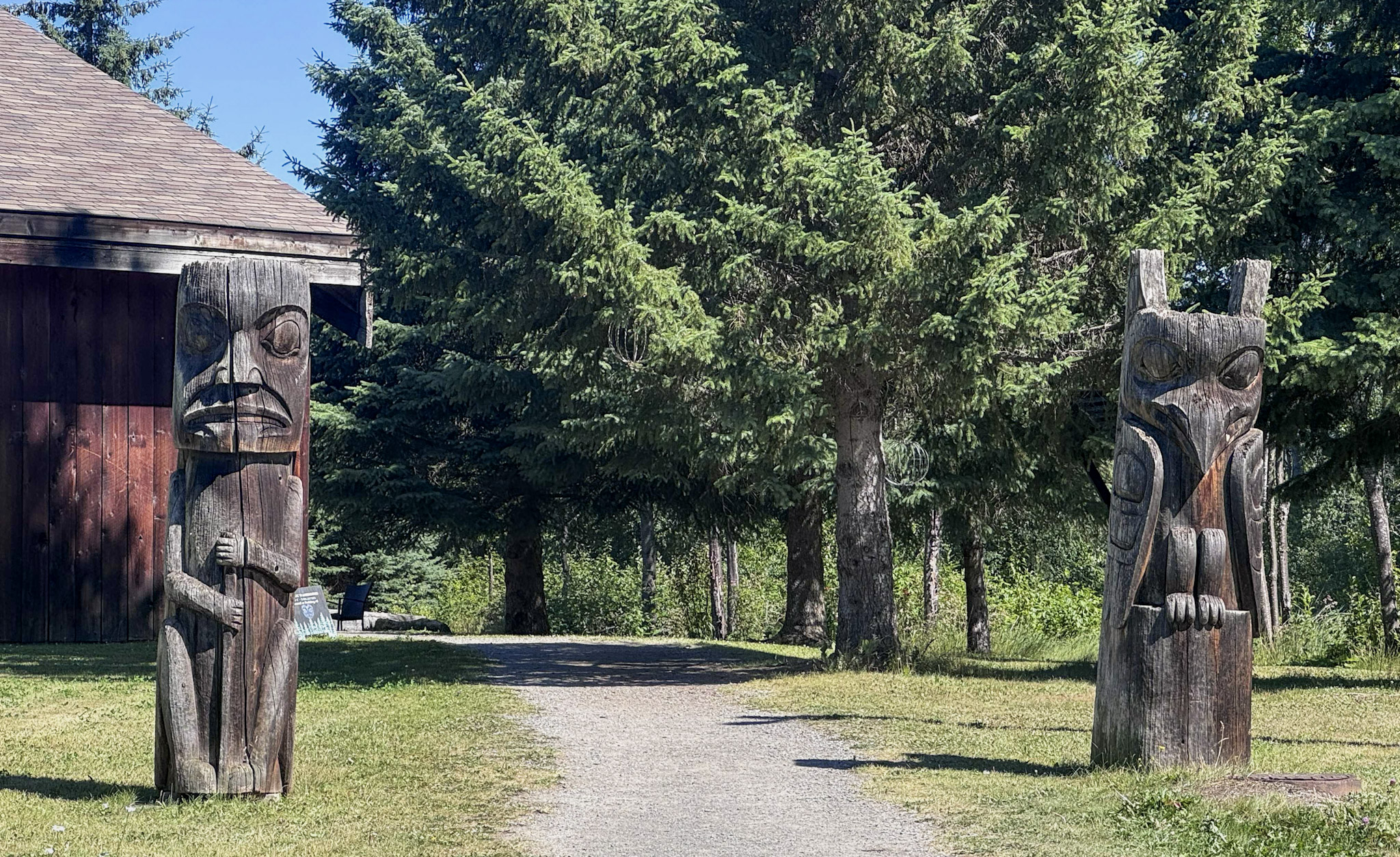
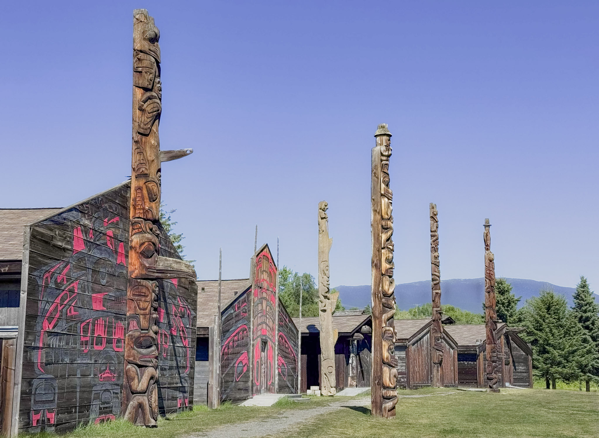
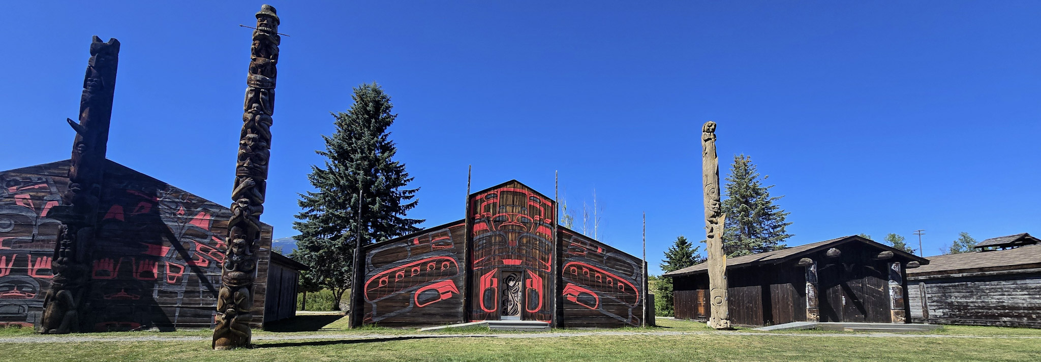
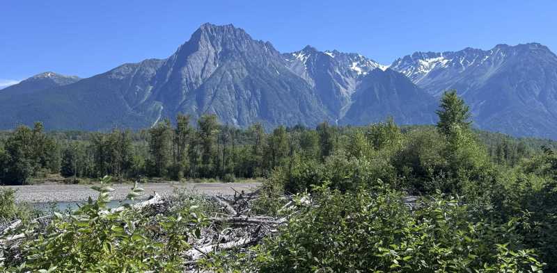
Set near the ancient village of Gitanmaax at the confluence of the Bulkley and Skeena Rivers, ’Ksan reflects the deep relationship between the Gitxsan people and the waterways of the Skeena watershed. Traditionally styled cedar longhouses face the river, surrounded by carved poles, a smokehouse, food cache, and other features modeled after an earlier Gitxsan village.
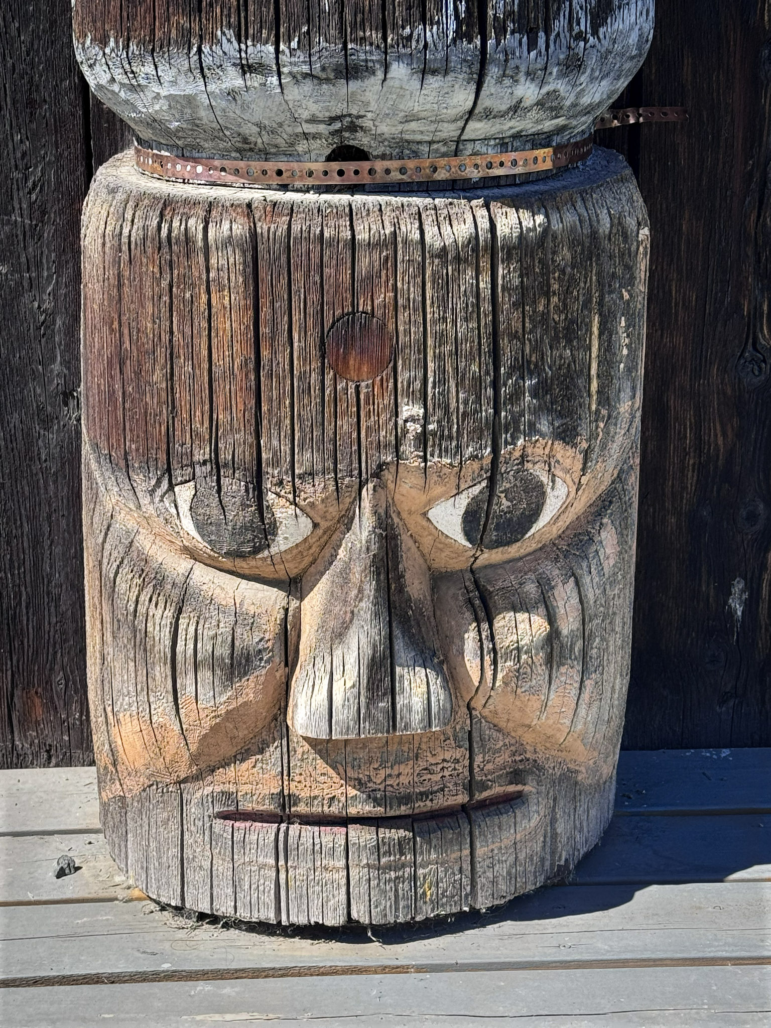
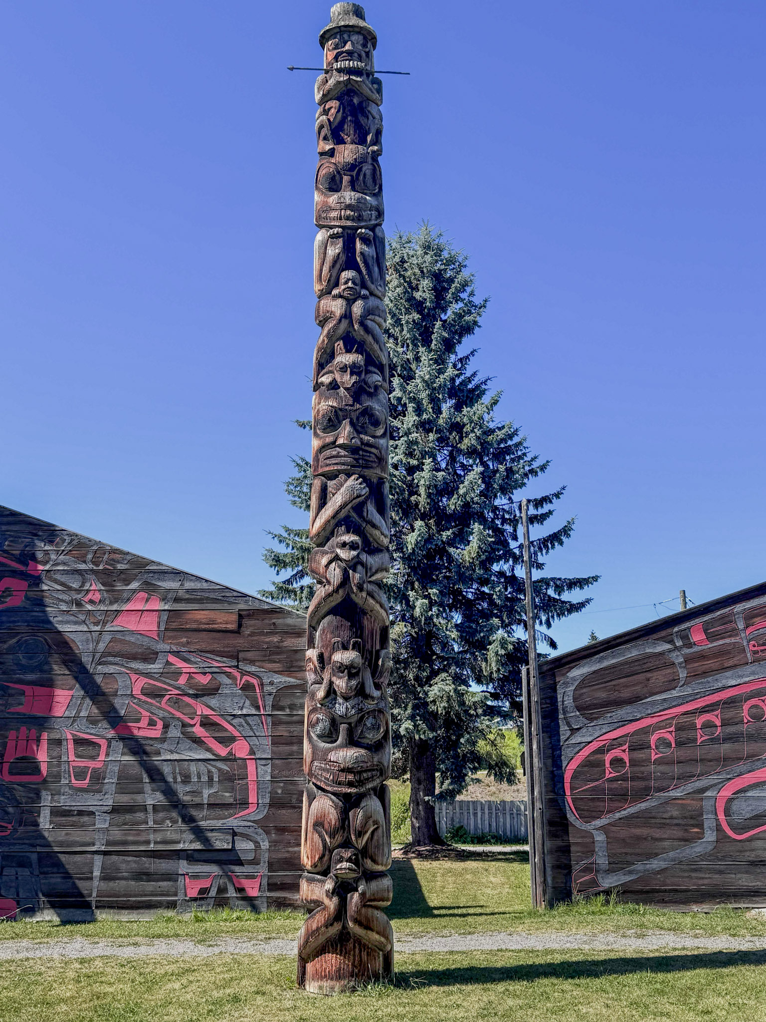
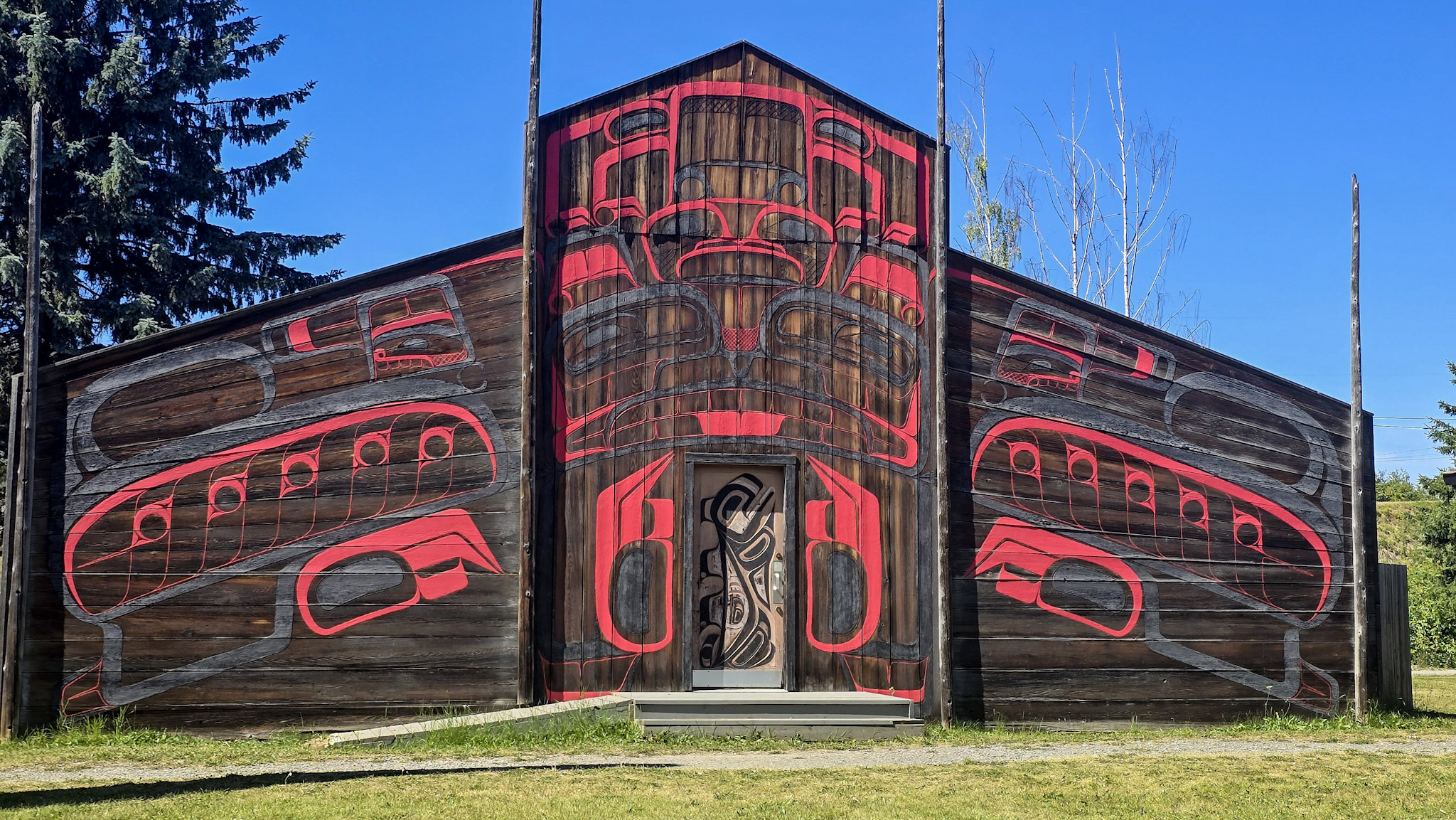
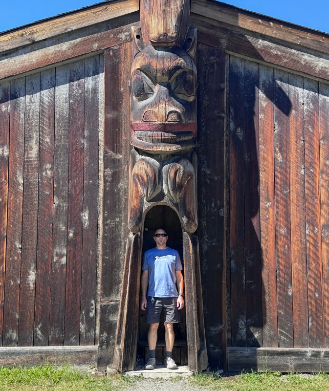
The setting was striking. Tall carved poles rose between the longhouses, while bold red-and-black designs covered entire cedar façades. Even the entrances became works of art, with carved figures, painted doors, and weathered wood giving each building its own character. Walking through the village felt less like visiting a collection of separate structures and more like entering a place where architecture, art, family history, and storytelling were intertwined.
That connection became even clearer inside the museum.
The collection was fantastic. Cases and galleries held an extraordinary range of Gitxsan objects—carvings, masks, bentwood boxes, ceremonial pieces, tools, fishing and hunting equipment, textiles, and everyday items. Some were elaborately decorated while others were simple and functional, but together they showed how much knowledge, skill, identity, and tradition could be carried through objects made and used across generations.
Cedar was everywhere, but it never felt merely decorative. The poles, house fronts, and carvings carried crests and stories tied to families, history, and place. These were not simply beautiful works of art; they were part of a visual language used to preserve identity and pass knowledge from one generation to the next.
What struck me most was how naturally ’Ksan connected back to Battle Hill. There, we had stood on a grassy hillside where cedar plank houses once existed and tried to imagine the community that had lived there. Here, longhouses rose in front of us again, surrounded by carved poles and objects that gave form to the traditions and relationships we had just been learning about.
By the time we left Hazelton, the day had shifted completely. We were no longer simply traveling through northern British Columbia. We were beginning to understand more of the people, histories, and cultural landscapes that had existed here long before the roads we were following.
A Different Kind of Journey
After leaving Hazelton, we continued toward Prince George as the northern part of the expedition slowly began giving way to the long road home. The mountains and rivers were still there, but after Battle Hill, the stories we had listened to along the road, and our time at ’Ksan, I found myself looking at them differently.
For much of the journey, we had measured the North by its scale—the height of the mountains, the reach of the glaciers, the remoteness of the roads, and the distances between towns. That day had added another layer. These valleys were not simply wild spaces surrounding the highway. They had been traveled, named, harvested, defended, traded across, and remembered long before modern roads connected them.
Today had been quieter than many of the days before it, but no less meaningful. There was no Arctic Ocean or enormous glacier waiting at the end of the road. Instead, some of the moments that stayed with me most came from standing above an ancient trade route, listening to stories as the landscape passed outside the Jeep, and walking among cedar longhouses and carved poles at ’Ksan.
By the time we reached Prince George, it was simply a place to stop for the night before another long push south. But the day had changed the way I thought about the landscapes we had spent nearly two weeks admiring. The mountains, rivers, and forests were part of the story, but so were the people whose histories, traditions, and connections to the land had shaped this region for generations.
After so many days focused on where the road could take us, this one reminded us that travel can also be about learning how to listen—to the land, to its history, and to the stories already there.
From My Field Journal
July 22, 2026 · Evening · Prince George, British Columbia
Today felt different from so many of the days before it. We said our final goodbye to Alaska, finished the Cassiar, and then spent much of the day learning about the people and stories connected to the land we have been traveling through.
Battle Hill and ’Ksan were both incredible, but I also loved listening to First Nations stories and music while we drove between them. Somehow hearing the stories while watching the rivers, forests, and mountains pass outside the Jeep made everything connect in a way it hadn’t before.
We have spent so much of this trip looking at how beautiful and wild the North is. Today reminded me that there is another part of traveling here—slowing down enough to understand the history, culture, and people who have called these places home for generations.
We learned a lot today simply by hearing, seeing, and traveling through the story.
EXPEDITION SNAPSHOT
THE ROUTE Hyder, Alaska → Stewart → Meziadin Junction → Kitwanga → Hazelton → Prince George, British Columbia
CULTURAL STOPS Gitwangak Battle Hill National Historic Site and ’Ksan Historical Village & Museum
LANDSCAPE Coastal mountains, Portland Canal, the sediment-heavy Salmon River, northern forests, mountain lakes, the Kitwanga River valley, and the Skeena watershed
WILDLIFE Black bear and grizzly bear
STAYED Prince George, British Columbia
MEMORABLE MOMENTS Watching the Salmon River rush toward Portland Canal, one last stop at Bear Glacier, finishing the Cassiar, standing above the ancient trade corridor at Battle Hill, exploring the remarkable collections at ’Ksan, and listening to First Nations stories and music while traveling between cultural sites
CHAPTER HIGHLIGHT The farther south we traveled, the more the landscape began to reveal another story—one shaped not only by mountains and rivers, but by the people who had traveled, traded, lived, and told stories across them for generations.
Next Chapter
From Prince George, the road would carry us south and east through one final sweep of remarkable country—past an ancient inland rainforest, waterfalls, Mount Robson, and the Icefields Parkway before the long journey finally turned toward home.
After over two weeks of northern roads, glaciers, wildlife, cultural stories, and unforgettable detours, the expedition was entering its final chapter.
Next: One last stretch through the Canadian Rockies—and the road home.





Leave a Reply