The Dalton Highway, the Brooks Range, and the dream that started it all
July 13–15, 2026
The Road That Started It All
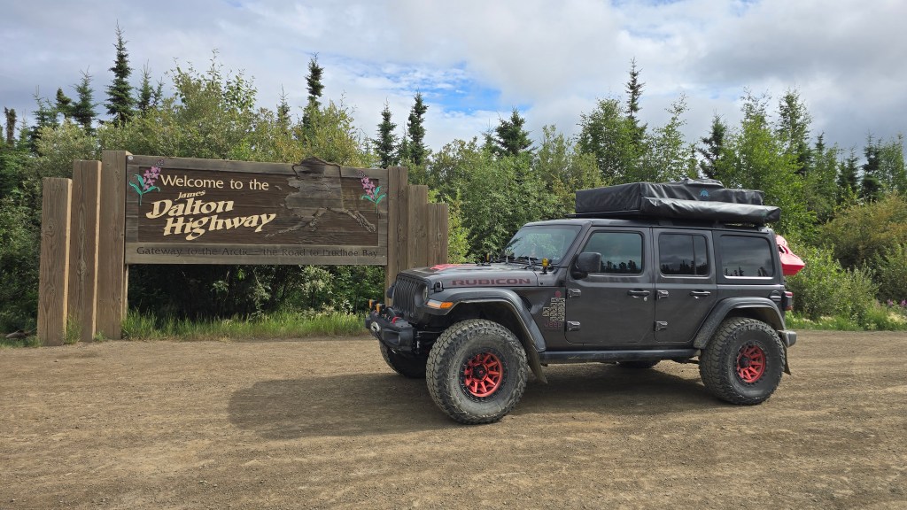
For months, the Dalton Highway had existed as a line on a map—a collection of mileposts, fuel calculations, road reports, and stories about dust, truck traffic, damaged tires, and broken windshields. Bill had prepared the Jeep for its rough surfaces, changing weather, and long stretches far from help.
Reaching the Arctic Circle sounded adventurous enough, but the Dalton continued nearly three hundred miles beyond it, crossing the Brooks Range and North Slope before ending in Deadhorse near the Arctic Ocean.
Running 414 miles from near Livengood to Deadhorse, the Dalton was developed to support construction of the Trans-Alaska Pipeline. Still known as the Haul Road, it remains an industrial corridor where trucks carry fuel, equipment, and supplies to the North Slope. Much of the highway is gravel or dirt, with pavement appearing intermittently.
On July 13, we packed the Jeep and headed north from Fairbanks. Near the beginning of the Dalton, we met our friends Tim and Jeannie, who were making the same journey. From there, the four of us would travel north together—sharing major stops, dinners in Coldfoot and Deadhorse, and eventually the shoreline of the Arctic Ocean.
This was not simply another scenic road on our itinerary. It was the road around which much of the expedition had been built.
After months of preparation, the Dalton was finally beneath our tires.
Welcome to the Haul Road
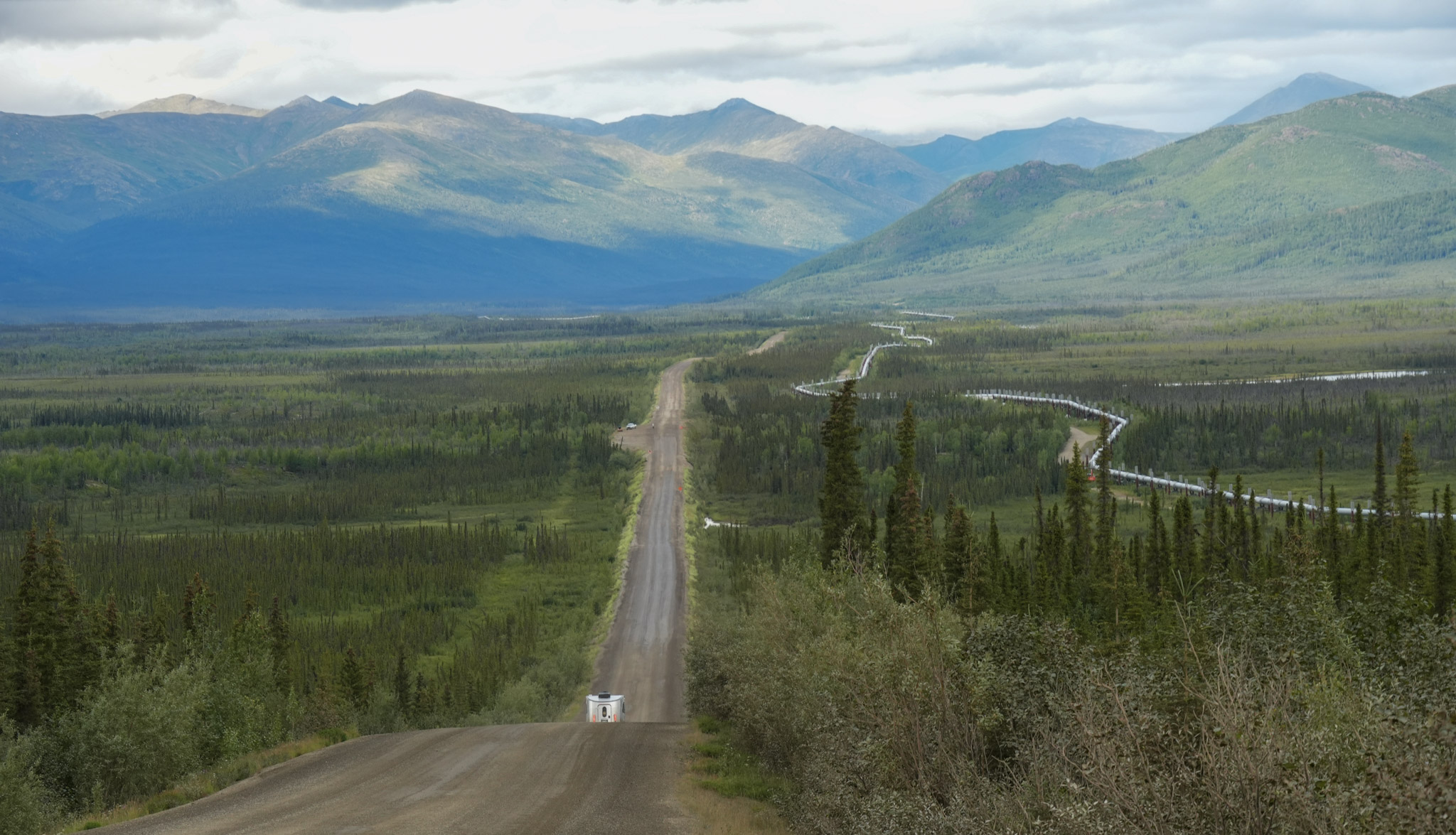
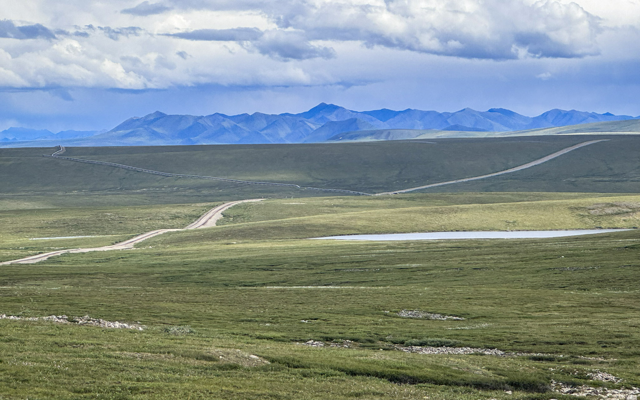
The first miles were surprisingly green. We began among rolling, forested hills, with the Trans-Alaska Pipeline climbing slopes, crossing valleys, and disappearing into the distance. Sometimes it ran beside the road on elevated supports; elsewhere it vanished behind hills before reappearing farther ahead.
The pipeline was a reminder that the Dalton existed for an industrial purpose long before travelers began driving it for adventure. Most of the original haul road was pushed north during the summer of 1974, when crews built approximately 390 miles in only five months to support pipeline construction. Oil began flowing south from Prudhoe Bay to Valdez in 1977.
That history still shaped the road. It had been built to move workers, machinery, and supplies—not around scenic pullouts or leisurely travel. Commercial trucks continued to set its rhythm, and we watched carefully for them, slowed when they approached, and gave them plenty of room. “Haul Road” did not feel like an outdated nickname; it still belonged to the people working there.
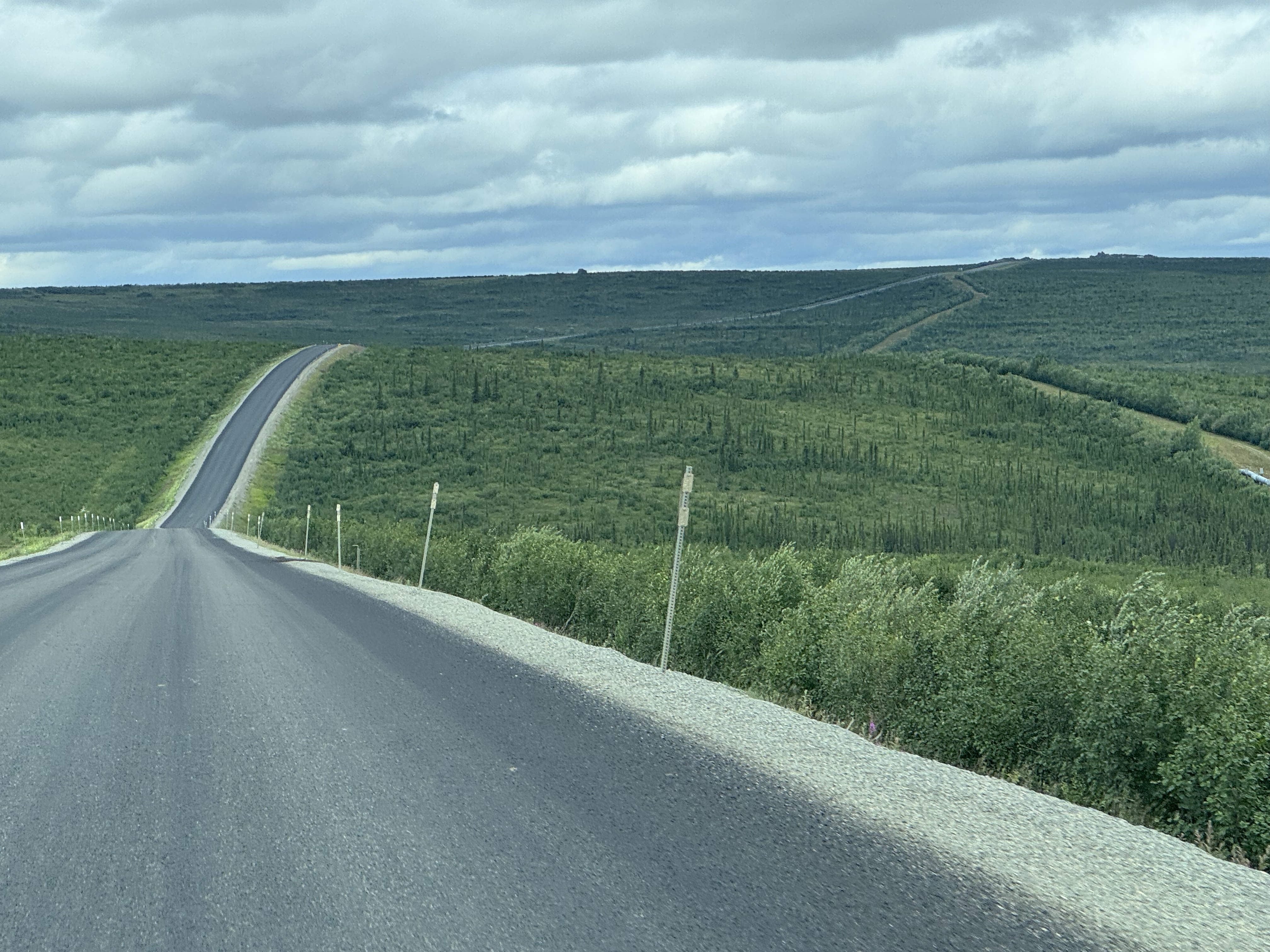
The surface shifted between pavement, gravel, and packed dirt. Some stretches were smoother than expected, while potholes and rough sections required us to slow down and choose our path carefully.
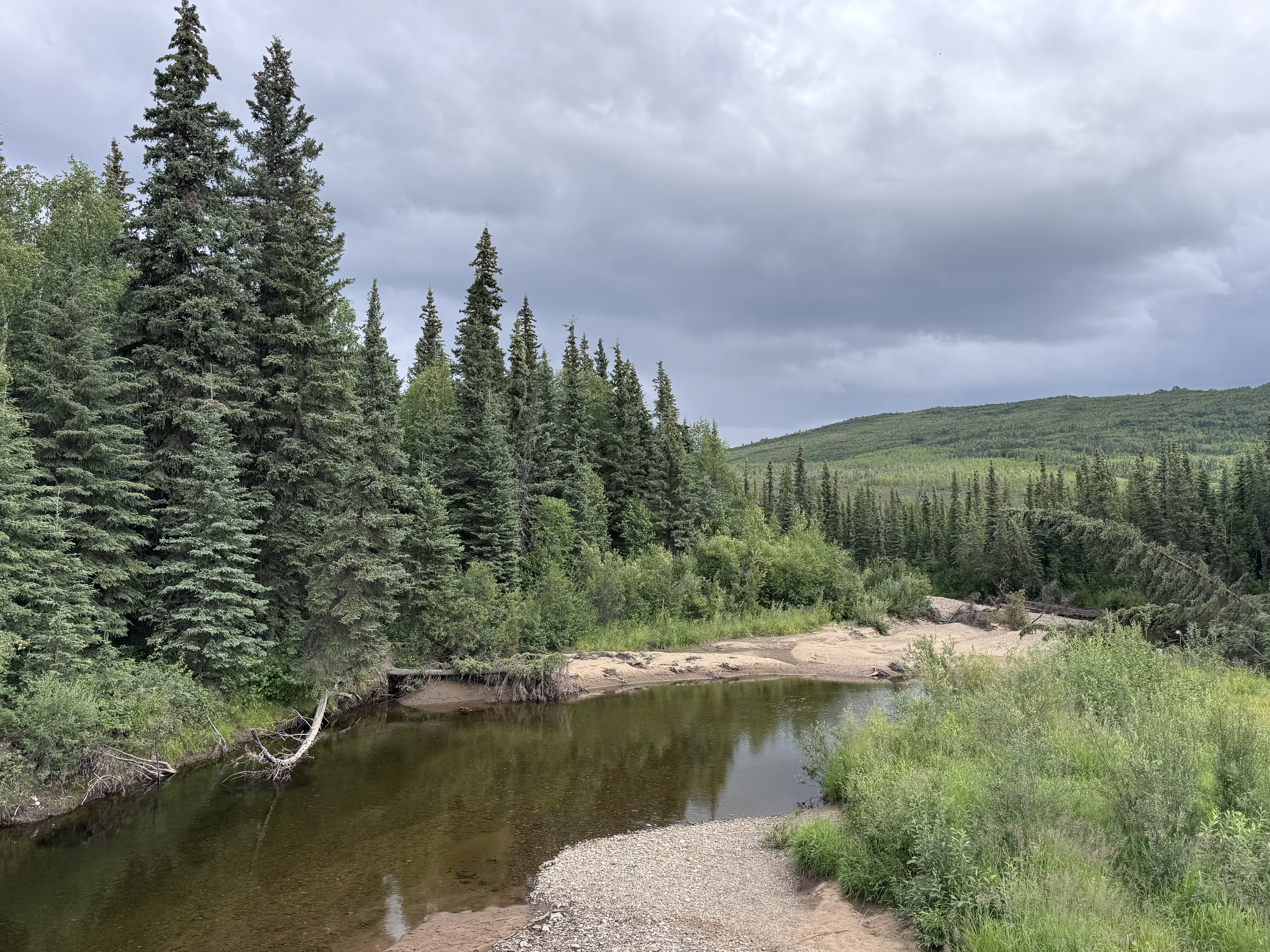
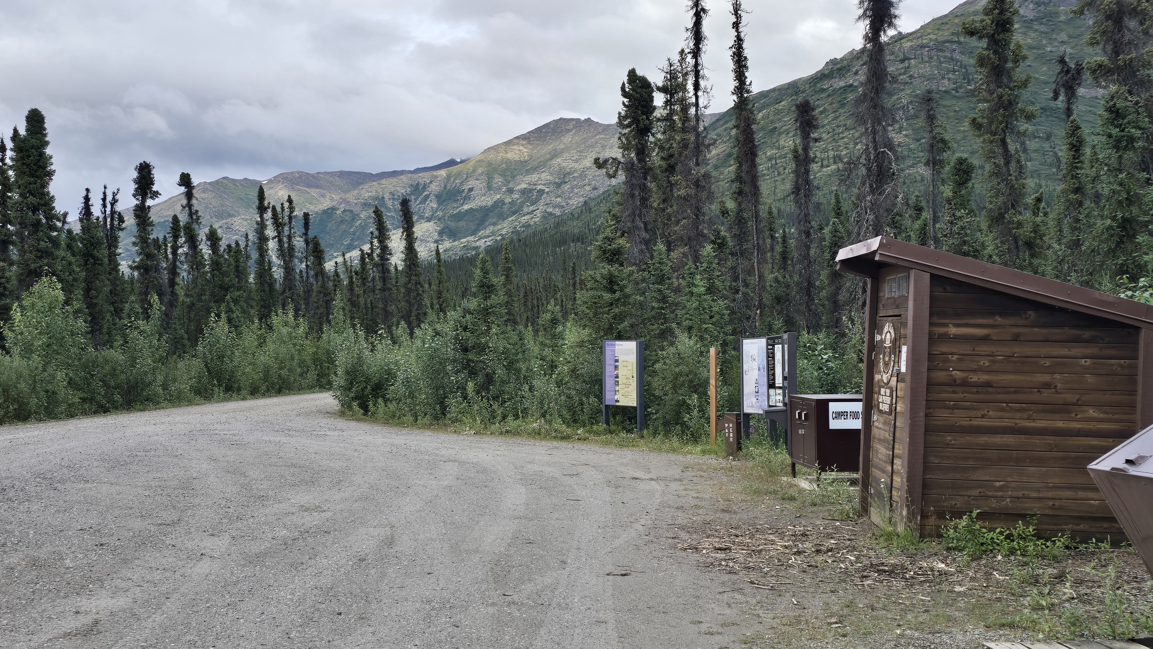
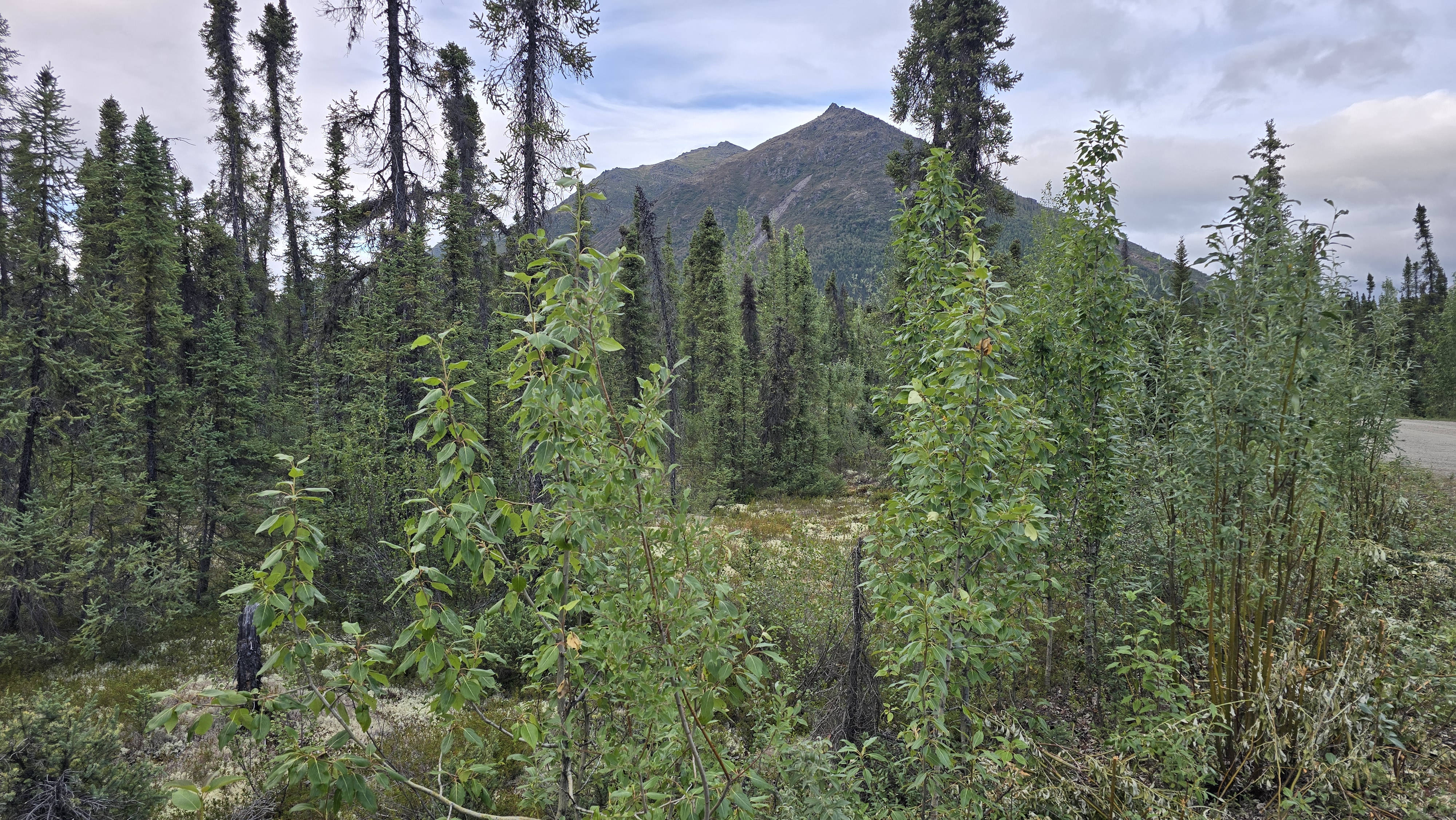
At one roadside stop, a sign helped us read the landscape more closely. The boreal forest was not a uniform blanket of trees but a patchwork shaped by sunlight, permafrost, water, and fire. Sun-warmed southern slopes supported birch and aspen, while colder northern slopes held stunted black spruce above shallow permafrost. Burned areas and streamside corridors created still more variation.
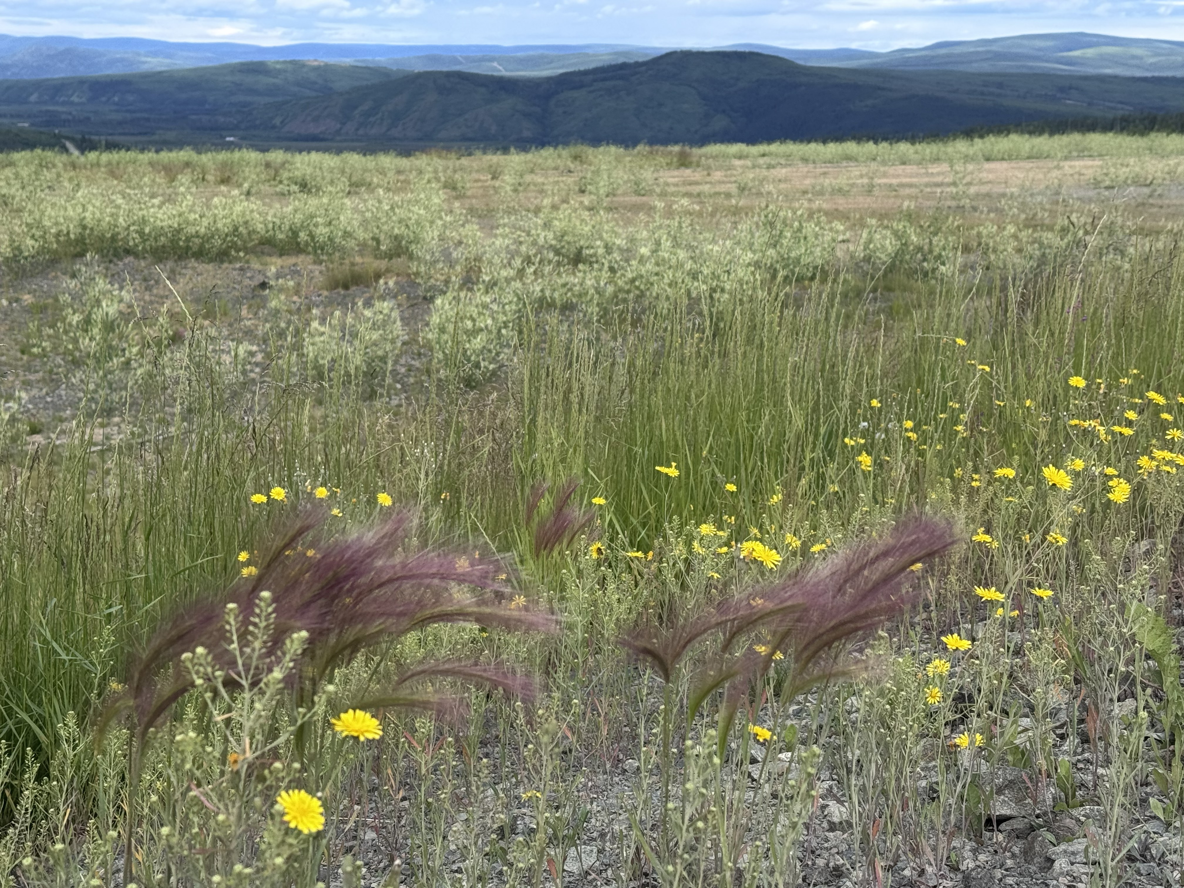
Once we knew what to look for, the changing forest made more sense. Taller trees gradually gave way to smaller spruce, brush, and open hills, while fireweed added long splashes of pink beside the gravel.
And then there were the mosquitoes.
At one stop, they finally drove me into the head net I had packed. It was hardly flattering, but I was immediately grateful for it.
Across the Yukon River
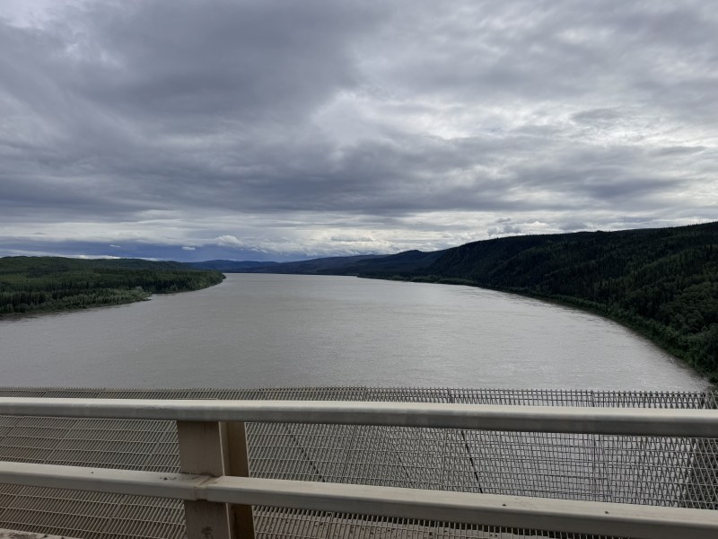
The highway descended toward the Yukon River, and when the water came into view, its scale surprised me. It stretched across the valley in a broad sweep of silty gray water, framed by forested hills and a sky heavy with clouds. I knew it was one of the great rivers of the North, but knowing that and seeing it were entirely different things.
The Dalton provides Alaska’s only highway crossing of the Yukon River. Here, the road and Trans-Alaska Pipeline share a narrow transportation corridor connecting the Interior with the North Slope.
After crossing the bridge, we pulled into Yukon River Camp on the northern bank. In the middle of such an immense landscape, it felt like a small gathering place for travelers. We filled the Jeep with fuel, picked up snacks, and talked with others making their way north.
Not everyone planned to drive the entire Dalton. Some were continuing only to Coldfoot—an adventure in itself—while others hoped to cross the Brooks Range and reach Deadhorse. We compared destinations, road conditions, vehicles, and plans before returning to the highway one by one.
Soon the Yukon River disappeared behind us, reminding and the highway continued toward the Arctic Circle.
Finger Mountain
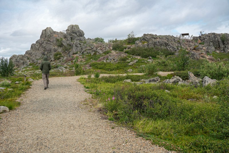
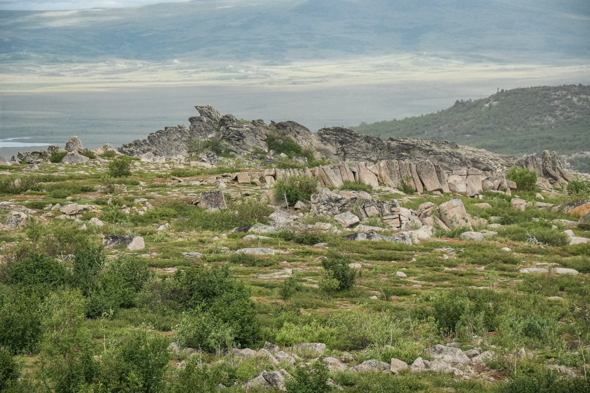
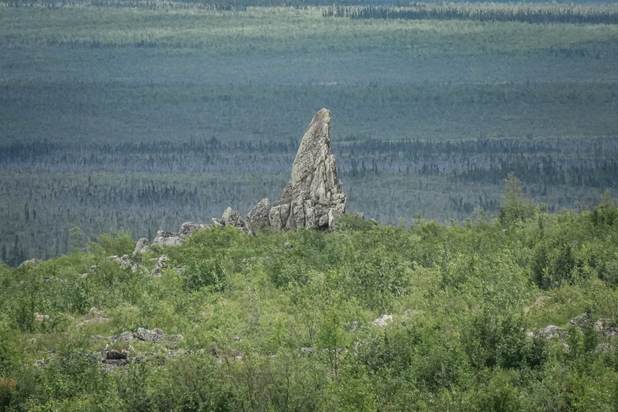
At Mile 98, we stopped at Finger Mountain, where a short interpretive trail crossed the open tundra toward the granite formation rising above the landscape. The roughly forty-foot tor is part of a much larger outcropping shaped by millions of years of weathering and erosion. Its distinctive profile has long served as a landmark for travelers moving through the region.
After hours of watching the landscape pass from inside the Jeep, it felt good to stretch our legs and explore the rocks more closely. Exposed granite covered the area—massive formations fractured into angular shapes, weathered boulders scattered across the tundra, and smaller stones coated in pale green lichen. Together, they created a rugged landscape that felt ancient and remarkably different from the forested terrain farther south.
Among the rocks grew low vegetation adapted to shallow soils, frozen ground, and powerful winter winds. Lowbush cranberries hugged the tundra, while Labrador tea displayed clusters of small white flowers. The plants softened the granite in places, filling narrow spaces between the stones and adding small patches of color to the otherwise weathered terrain.
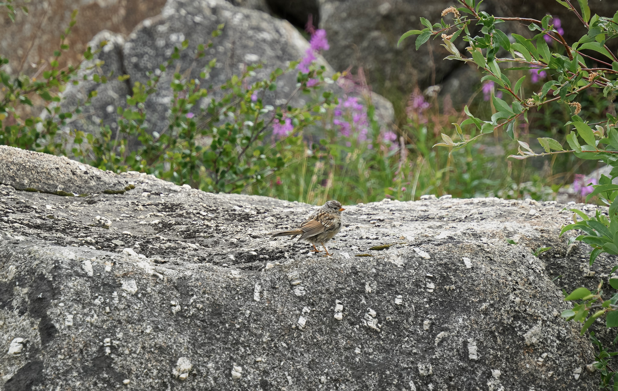
The mosquitoes were considerably less subtle. They swarmed us almost as soon as we stepped from the Jeep, and I quickly pulled on my head net while Bill somehow continued walking without one. Pests to us, however, they were an important food source for birds and other Arctic wildlife. Savannah sparrows hopped across the rocks, taking advantage of the insects that had become impossible for us to ignore.
Still, the stop was worth every buzzing second. Finger Mountain brought together ancient geology, Arctic wildlife, and generations of human travel—a reminder that even the Dalton’s seemingly empty landscapes held stories for those who stopped long enough to notice.
Crossing Into the Arctic Circle
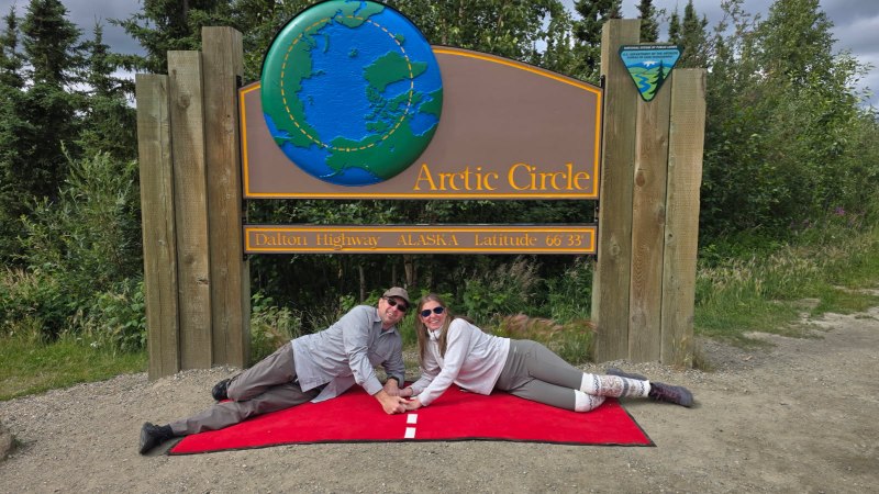
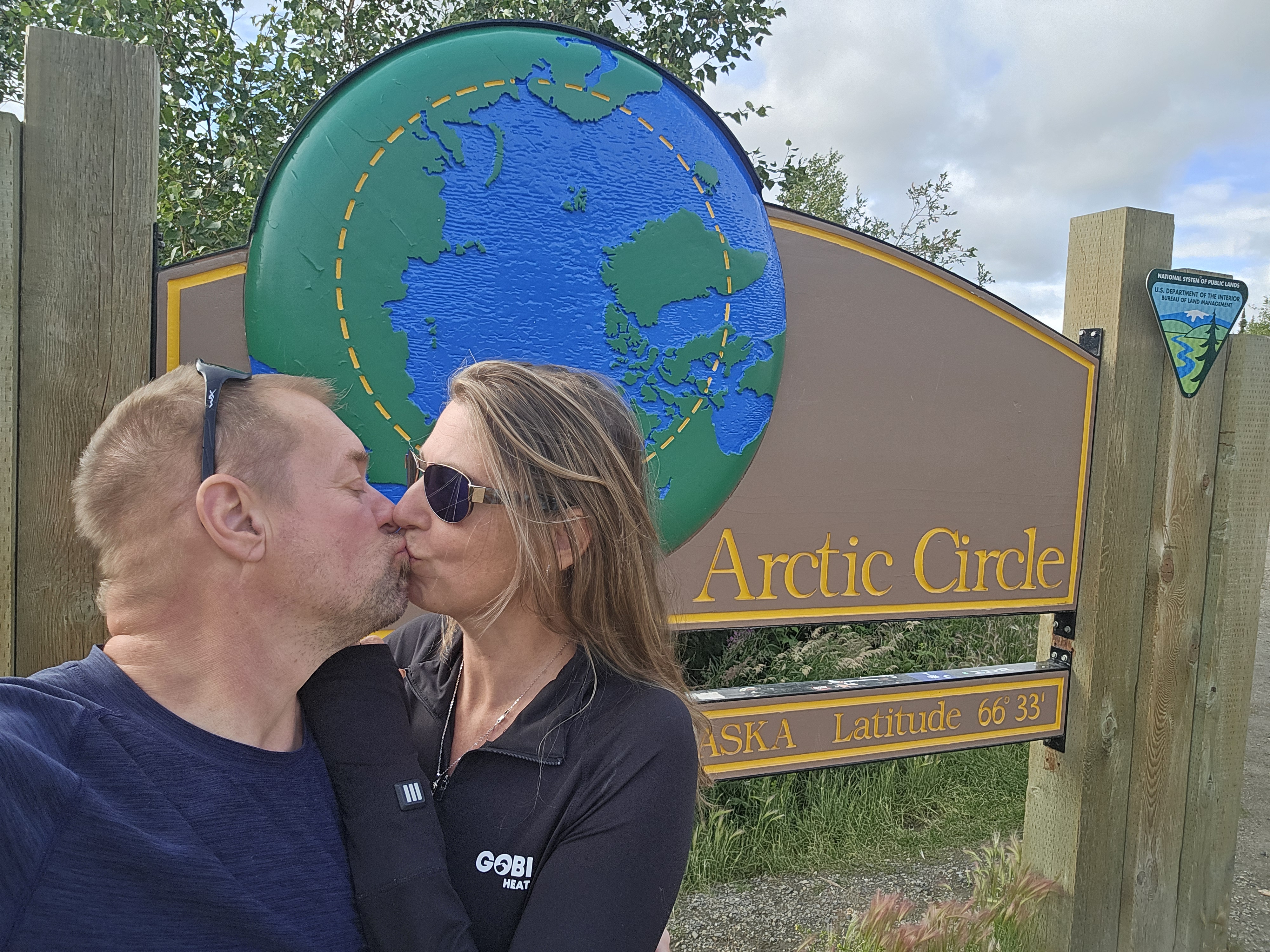
By the time we reached the Arctic Circle at Mile 115, I was excited like a little girl. Bill and I posed for photographs beside the sign, while a little gray bird perched on top as though it had come to welcome us.
The Arctic Circle marks an invisible line at approximately 66°33′ north—the latitude above which the sun can remain above the horizon for a full day in summer and below it for a full day in winter. Yet crossing it brought no dramatic physical change. There was no sudden wall of ice or instant shift in the landscape. The Arctic simply began beneath our feet.
Bill was surprised it was not colder. The surrounding tundra was green, the summer air was mild, and the midnight sun remained well above the horizon. It looked nothing like the frozen boundary people often imagine when they hear the word Arctic.
For many travelers, the Arctic Circle is the destination. For us, it was an important milestone, with Coldfoot, the Brooks Range, Atigun Pass, and nearly three hundred more road miles still ahead.
Bill and I had crossed the invisible line together, but the Jeep—and the dream—were continuing north.
Coldfoot: The Midpoint of Nowhere
By the time we approached Coldfoot, clouds had gathered and a light drizzle followed us into the foothills of the Brooks Range. The community was little more than a scattering of buildings beside the highway, yet along the Dalton it represented something significant: fuel, food, lodging, and one of the last major stopping points before Deadhorse.
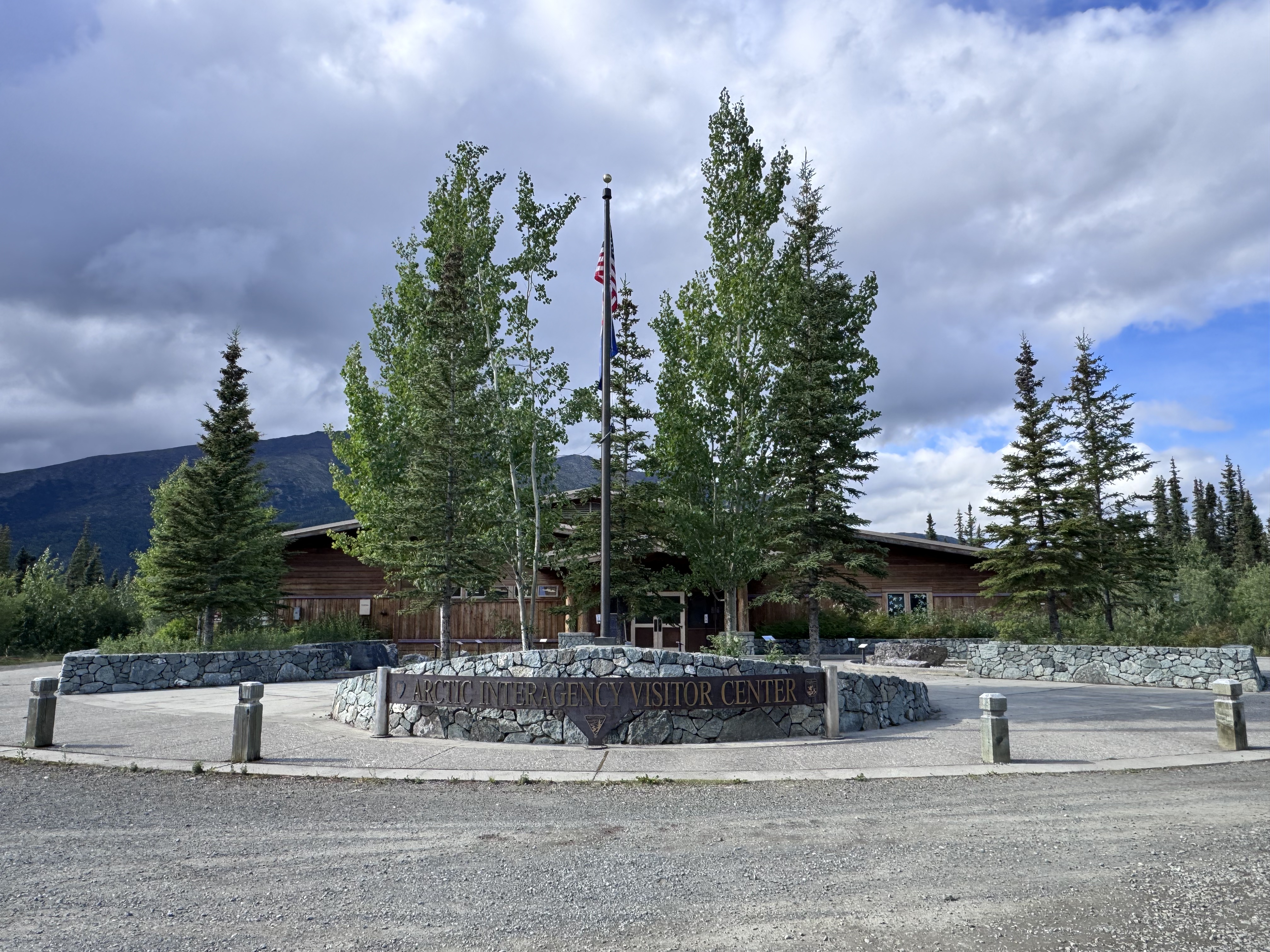
Coldfoot sits near Mile 175, roughly 260 miles from Fairbanks. We joined Tim and Jeannie at the Arctic Interagency Visitor Center, where a sign welcomed us to the Brooks Range and exhibits introduced the landscapes waiting farther north.
A large relief map put our location into startling perspective. Coldfoot lies farther north than mainland Iceland—and considerably farther north than places such as Moscow. Seeing that relationship on a map made the distance we had traveled feel real in a way that mileposts alone had not.
The exhibits also previewed the next stage of our journey. The Brooks Range forms a roughly 700-mile barrier across northern Alaska and a continental divide: water from one side ultimately flows toward the Arctic Ocean, while water from the other drains toward the Bering Sea. Beyond the mountains, the forest would disappear into the open tundra of the North Slope.
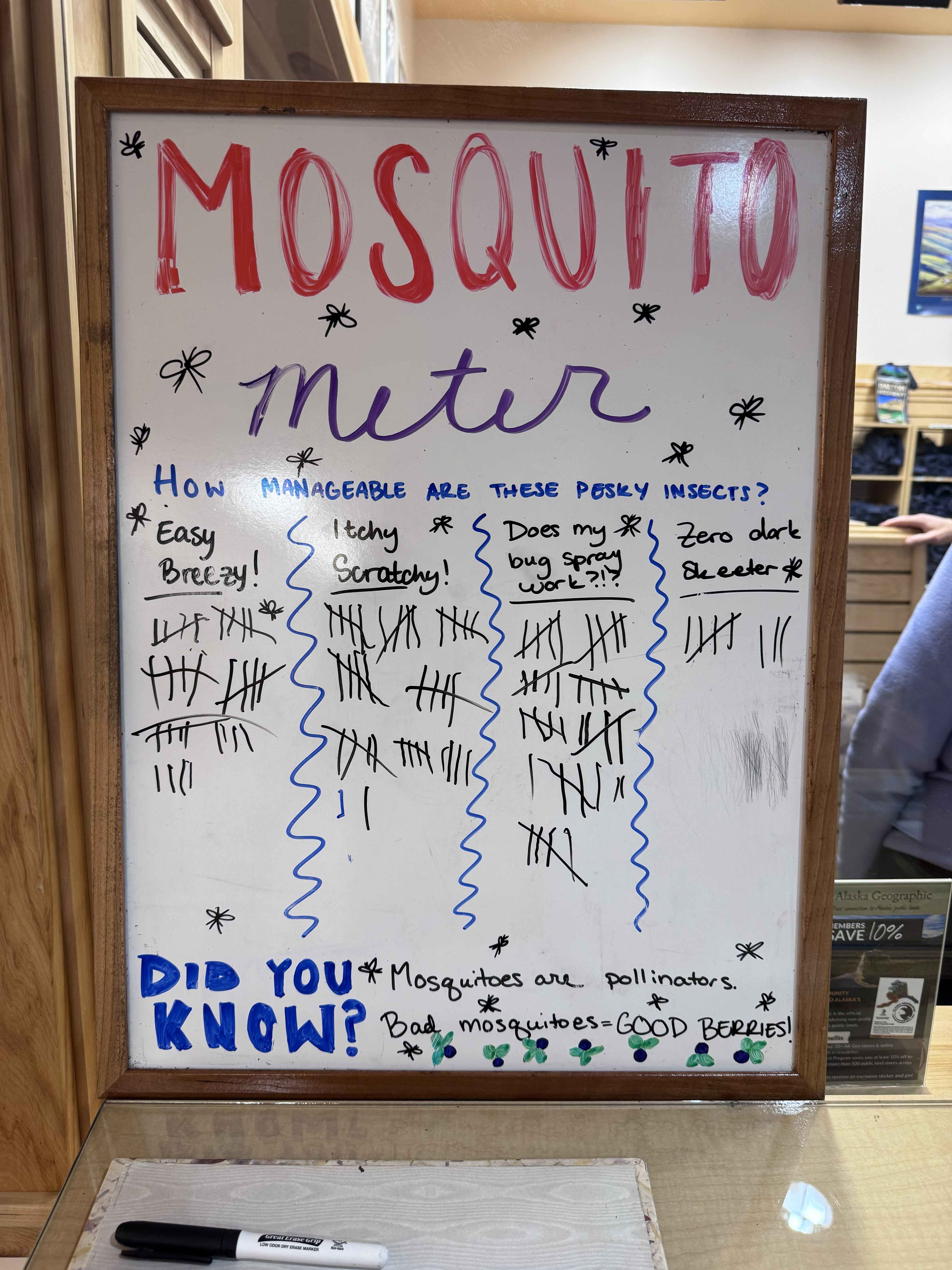
Not every lesson was so serious. A hand-drawn “Mosquito Meter” invited visitors to rate the day’s conditions from “Easy Breezy” to “Zero dark skeeter.” After our recent encounters, we had opinions. Even more surprising was the note at the bottom: mosquitoes are pollinators. Apparently, the insects we had been swatting and hiding from also help pollinate Arctic plants. I was not prepared to give them my gratitude, but I had to admit they were more useful than they appeared.
After exploring the visitor center, we fueled the Jeep and had dinner with our friends. The buffet included cod, chicken, salads, sides, and desserts—far more variety than I expected from a remote truck stop. Whether it was the long day on the Haul Road or the meal itself, everything was genuinely delicious.
That evening, we continued about five miles north to Marion Creek Campground and set up beneath cloudy skies. Dense spruce surrounded our campsite, with the mountains rising beyond the trees. It was so green and sheltered that, without knowing our location, I never would have guessed we were camping above the Arctic Circle.
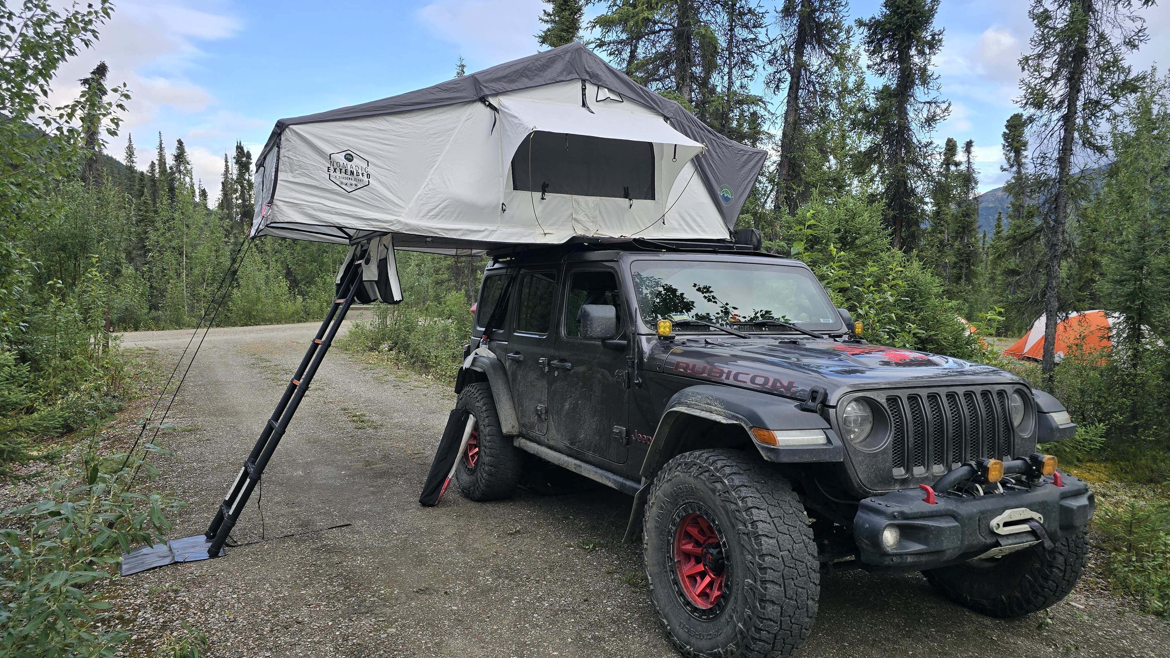
Then, around 9:45 pm, the clouds parted and sunlight streamed through the rooftop tent as though it were midmorning. That may have been the moment it truly sank in: Oh my gosh—we were camping in the Arctic.
Into the Brooks Range
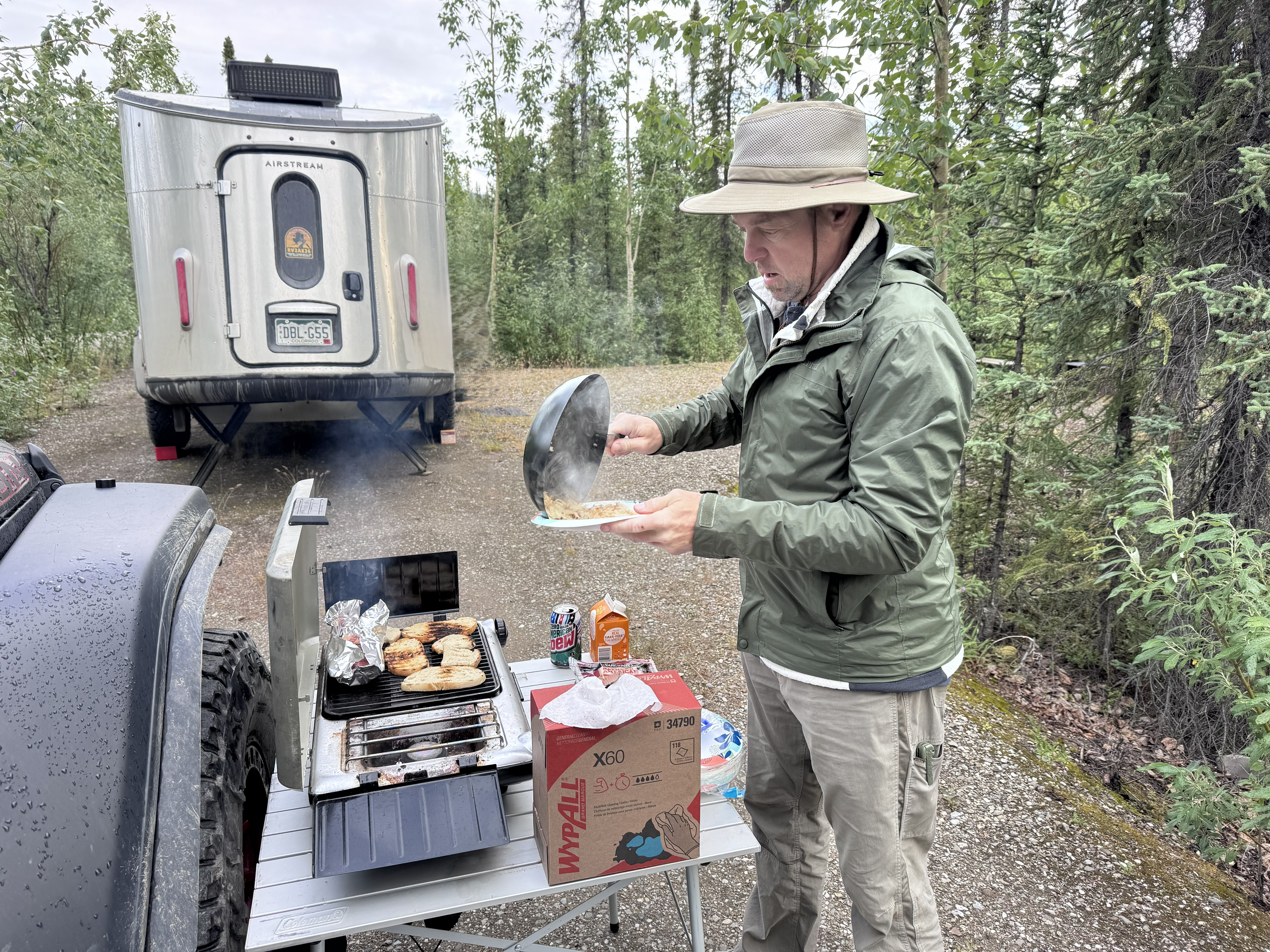
The next morning, July 14, Bill prepared breakfast at our campsite while Tim and Jeannie packed nearby. It was an ordinary road-trip ritual in an extraordinary place: cooking beneath the spruce trees, surrounded by mountains, knowing we had awakened above the Arctic Circle.
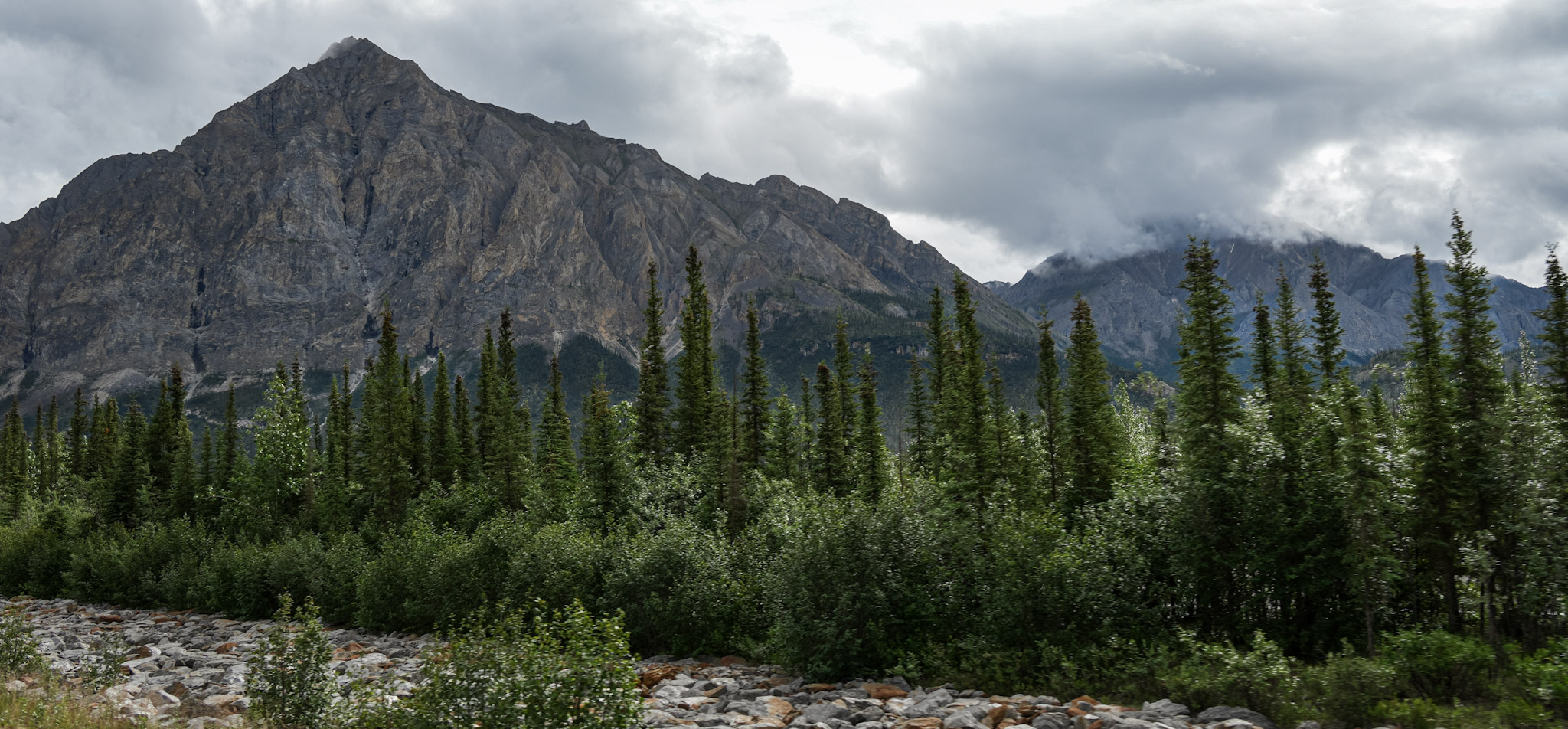
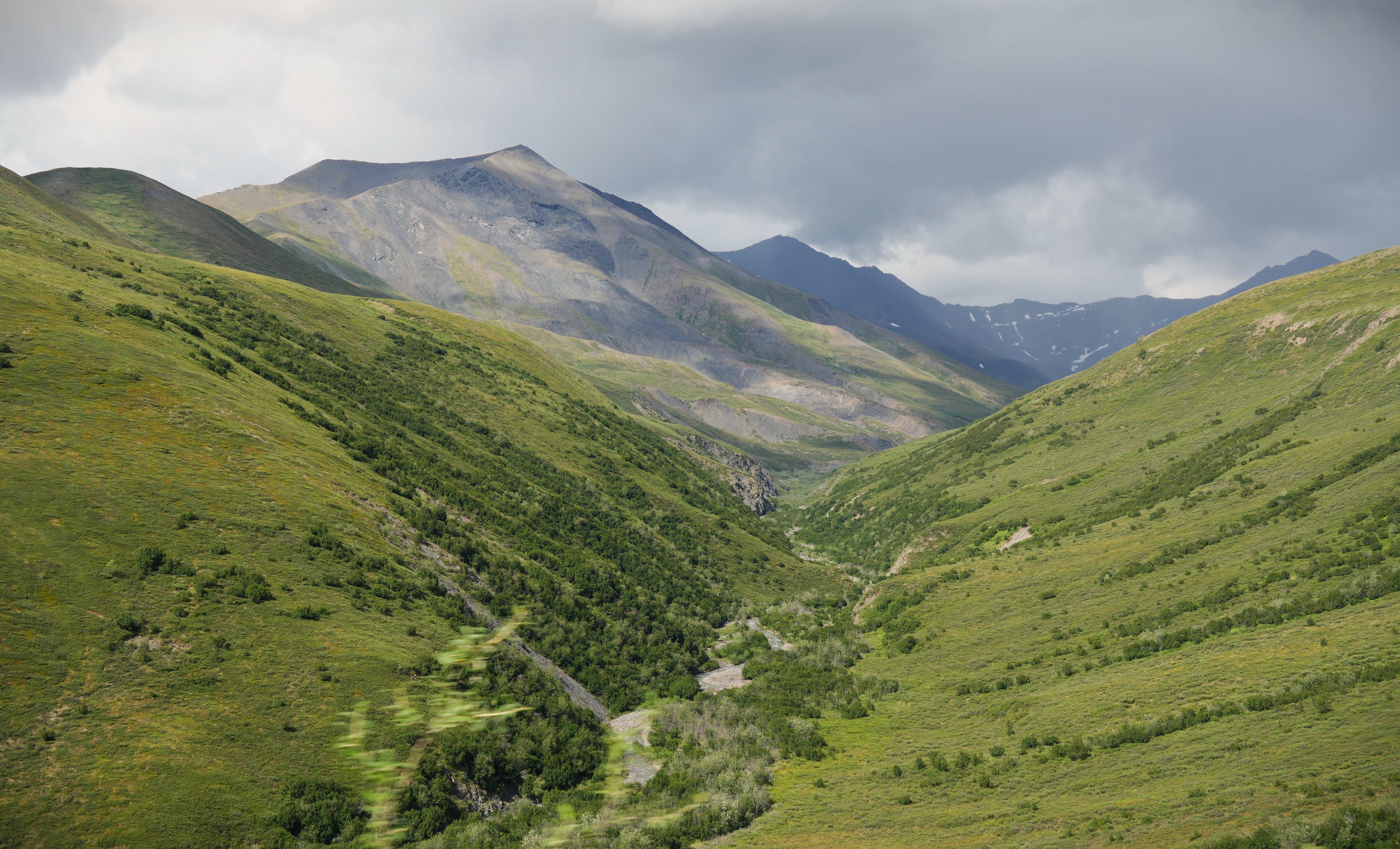
Soon, the four of us were back on the Dalton, continuing north toward the heart of the Brooks Range. Forests, ponds, creeks, and mountains crowded closer around the highway, and the terrain became more dramatic with every mile.
At one small pond, we spotted a cow moose and her calf near the water. Wildflowers grew throughout the wet ground, and frogs jumped through the shallows in numbers I had never expected to find this far north. The scene felt almost impossibly alive.
For all the Dalton’s reputation as a harsh industrial road, the land surrounding it was filled with small, vivid details: flowers along the shoulders, birds above the wetlands, moose in quiet ponds, and streams descending from snow-streaked slopes.
Ahead, the mountains rose higher while the pipeline threaded through terrain that seemed increasingly difficult for any road—or pipeline—to cross. The Trans-Alaska Pipeline continued beside us, threading through terrain that seemed increasingly difficult for any road—or pipeline—to cross.
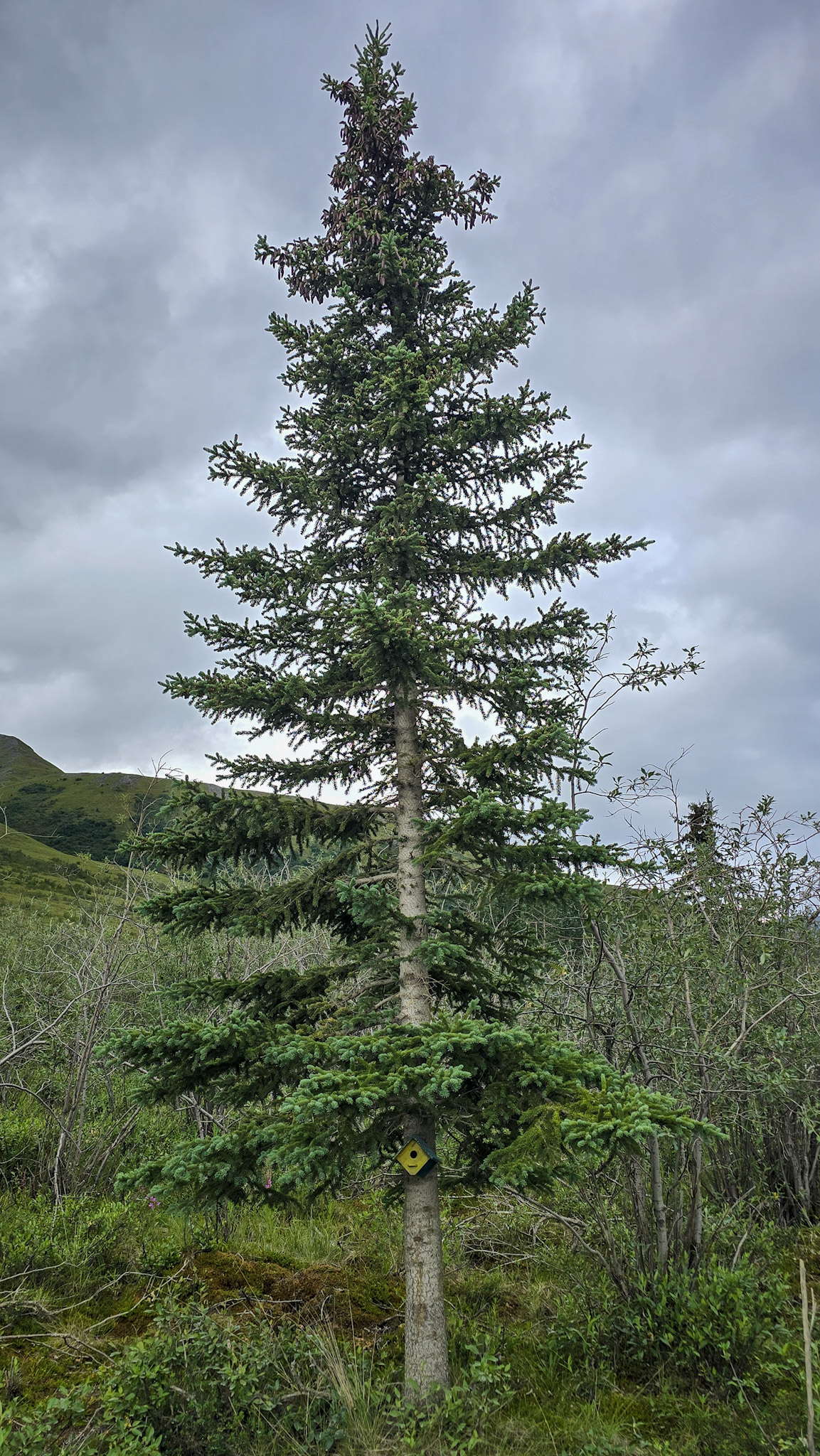
As we climbed, the spruce trees became shorter and more widely scattered. Near Mile 235, we passed the northernmost spruce along the Dalton—a solitary tree marking the climatic limit beyond which the conditions become too harsh for spruce forest to survive.
Beyond the last spruce, the forest disappeared. Low tundra spread beneath the increasingly rugged mountains, and it felt as though we had finally crossed into the Arctic we had imagined.
Over Atigun Pass
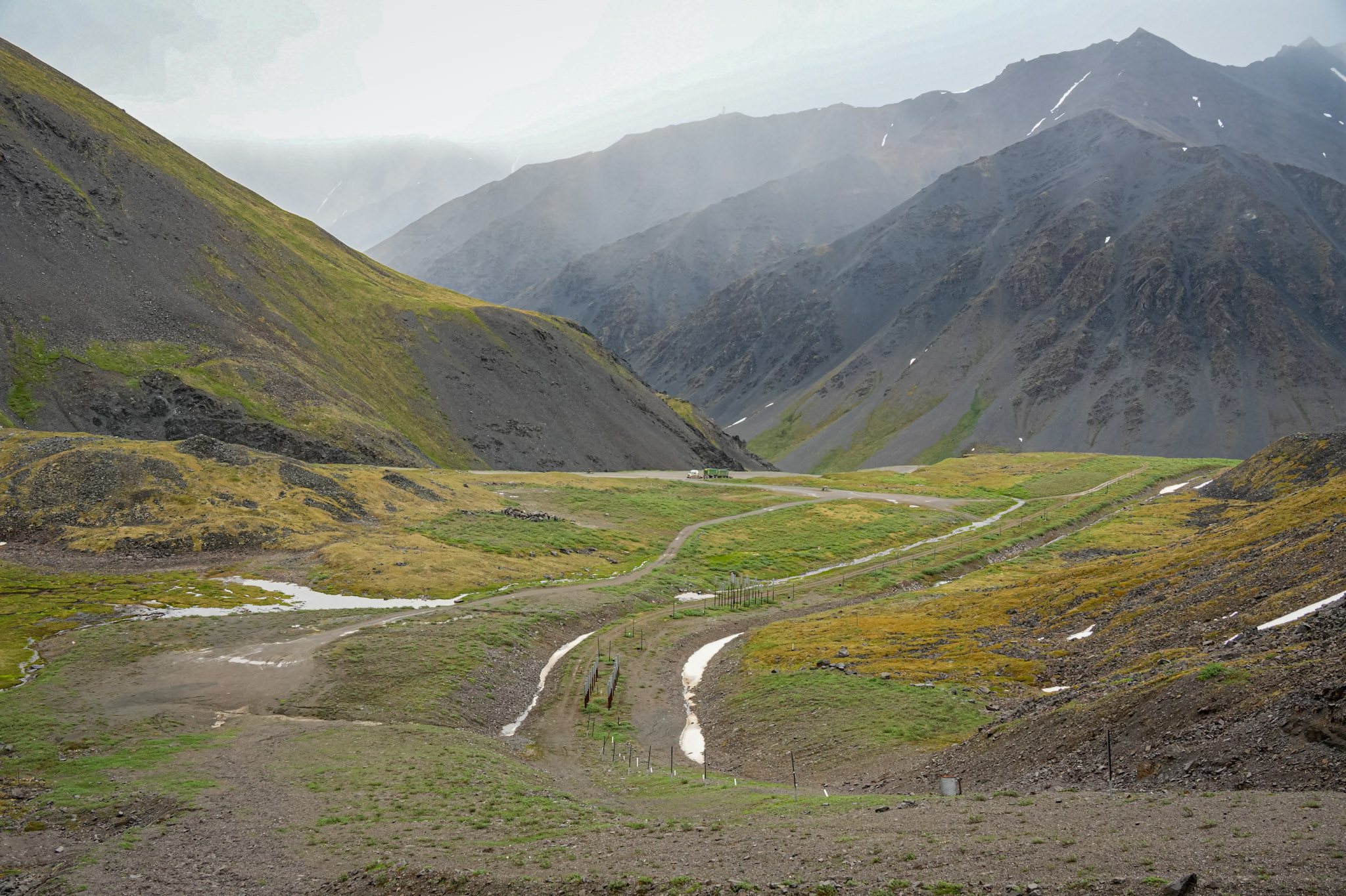
The Dalton climbed steadily into Atigun Pass, winding between steep mountains streaked with lingering snow. Low clouds drifted across the ridgelines, sometimes swallowing the peaks completely. I kept thinking of Led Zeppelin and misty mountain tops—the Brooks Range certainly looked the part.
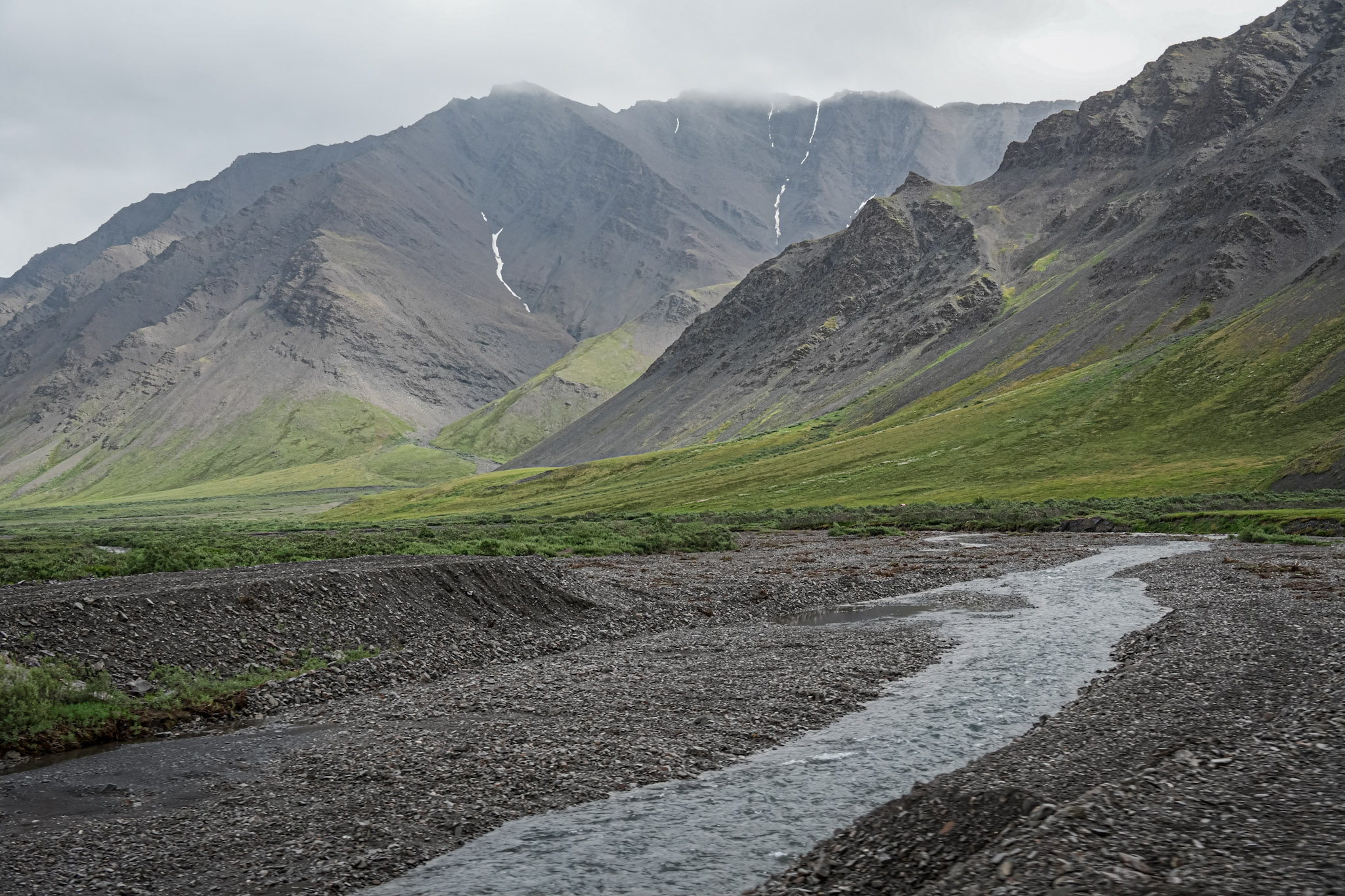
Waterfall streams spilled down the mountainsides, tracing narrow silver lines through the dark rock before gathering in creeks below. Around every bend, another wall of mountain appeared, and I kept taking photographs through the open window.
Bill, meanwhile, was freezing.
The temperature dropped noticeably as we climbed, but I was too absorbed in the views to close the window. Cold air poured into the Jeep while the road curved higher, guarded—somewhat reassuringly—by metal rails along its steepest edges.
Atigun Pass is the highest point on the Dalton Highway, crossing the Brooks Range at roughly 4,700 feet. That elevation would be modest compared with many of the mountain passes we drive at home in Colorado, but Atigun felt entirely different. There were no resort towns, developed overlooks, or clusters of visitors—only the gravel road threading through rugged mountains toward the North Slope.
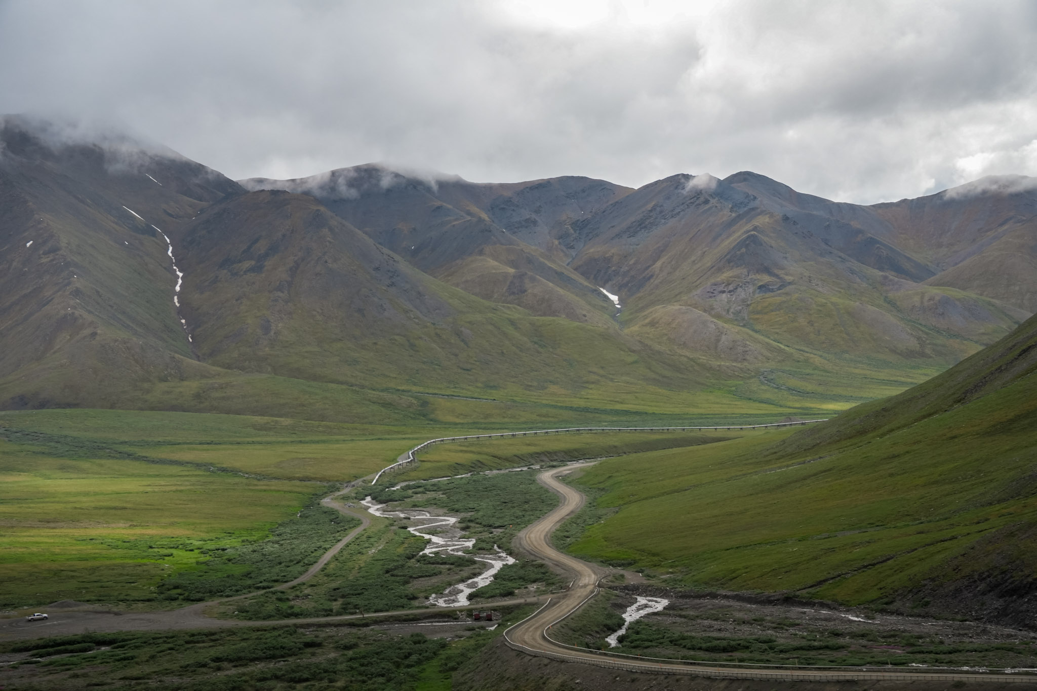
From near the top, we could look back across the long curve of road we had just climbed. On the other side, the highway dropped sharply into a broad mountain valley. Before starting down, we paused and watched the road below for trucks making their way toward the summit. The Dalton belonged to them, and once we knew the climb was clear, we began our descent.
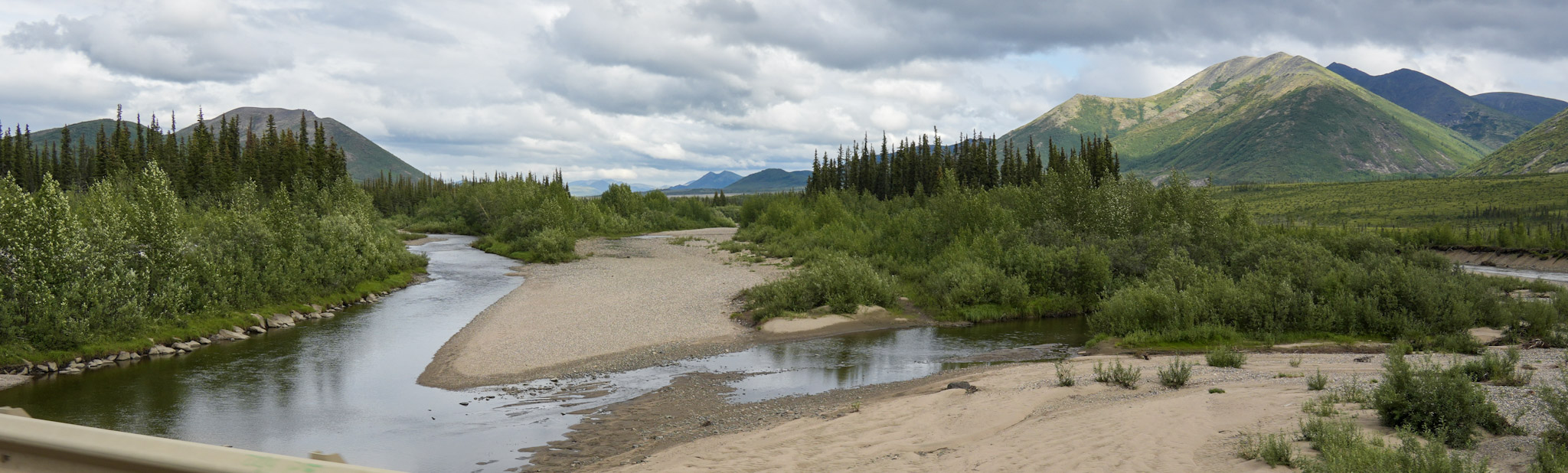
The mountains remained close around us, their upper slopes still disappearing into the clouds. Farther down, a cold river ran beside the highway through a wide gravel bed, carrying snowmelt away from the pass.
Where the Mountains End
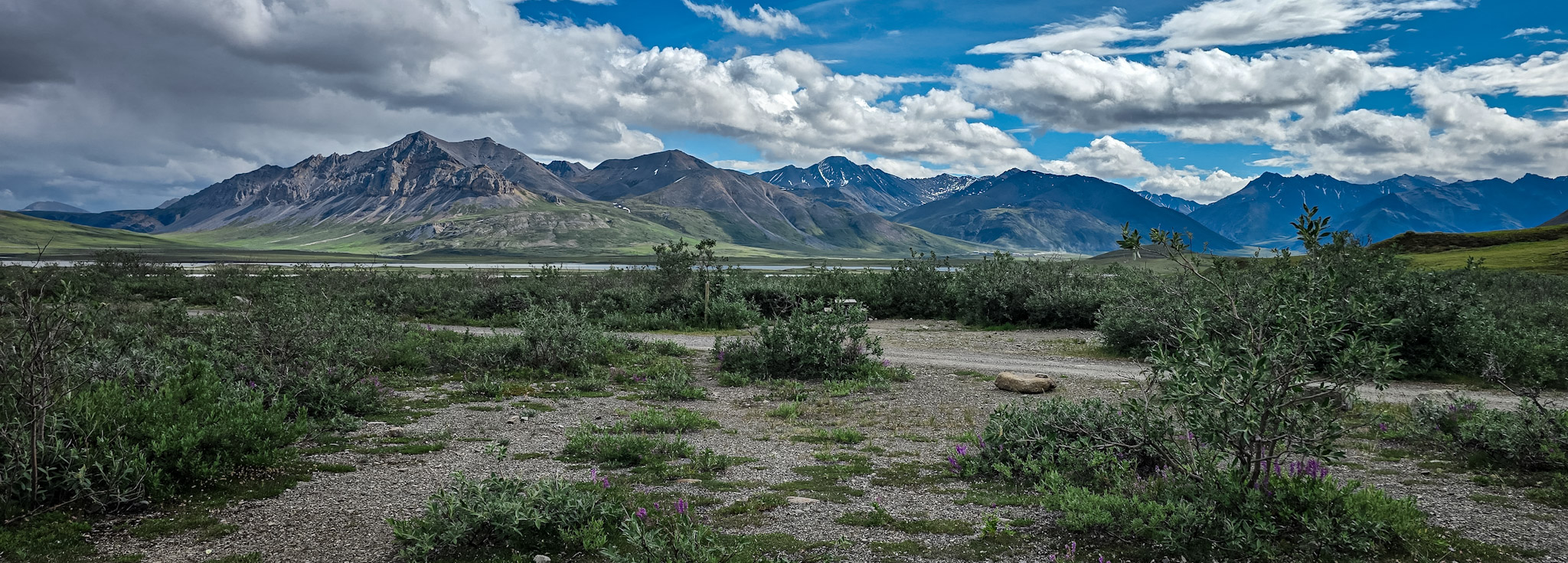
After descending Atigun Pass, we stopped at Galbraith Lake Campground in the northern foothills of the Brooks Range. The campground sits within the broader North Slope region, surrounded by a landscape that seemed to look in two directions at once. To the west lay the immense wilderness of Gates of the Arctic National Park and Preserve; to the east, the Arctic National Wildlife Refuge.
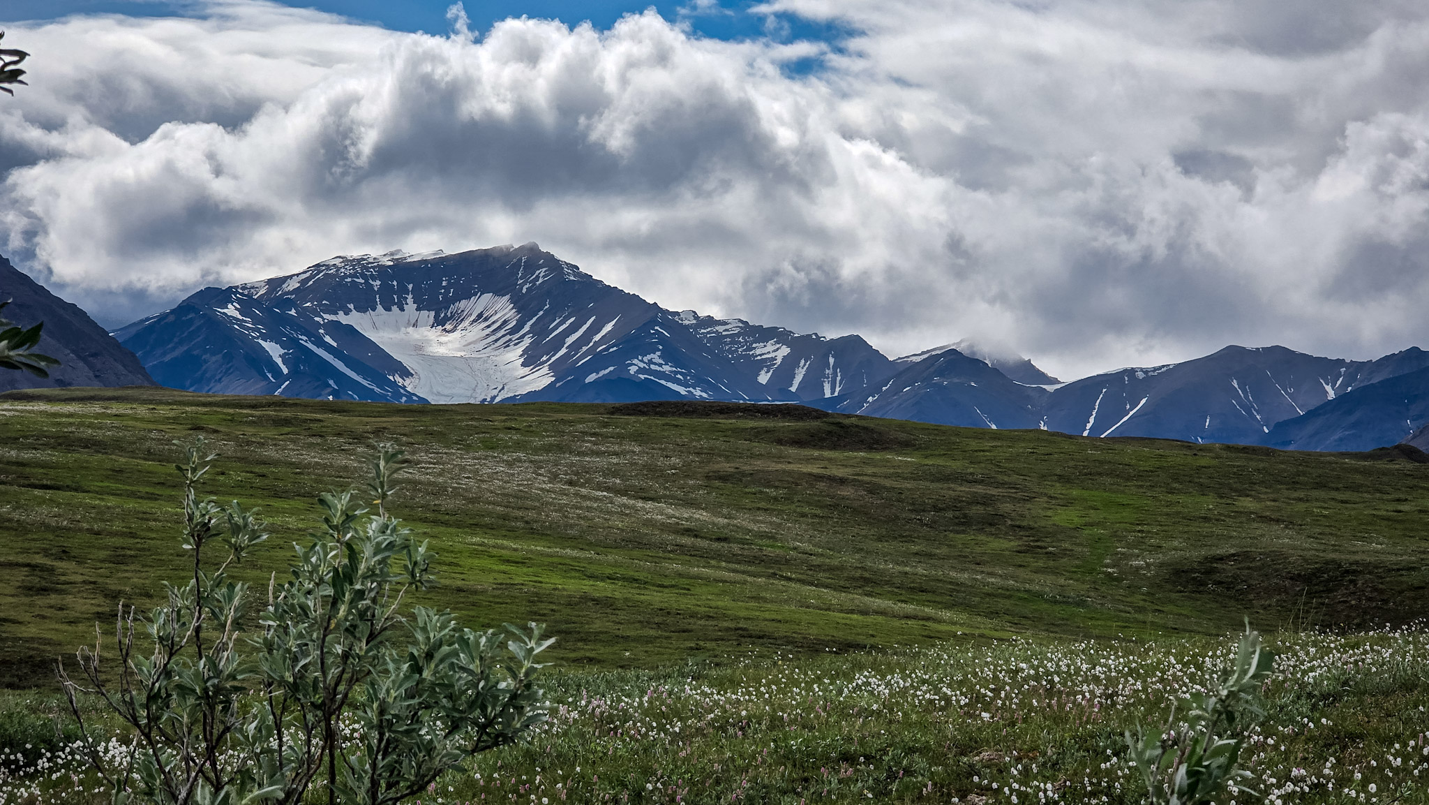
Snow still clung to the mountains, filling gullies and spreading across a high basin like a frozen white fan. Below, cottongrass covered the tundra, its soft white tufts floating above the green hills like scattered pieces of cotton. Purple wildflowers grew among them—another small surprise in a place that initially appeared too cold and exposed for anything so delicate.
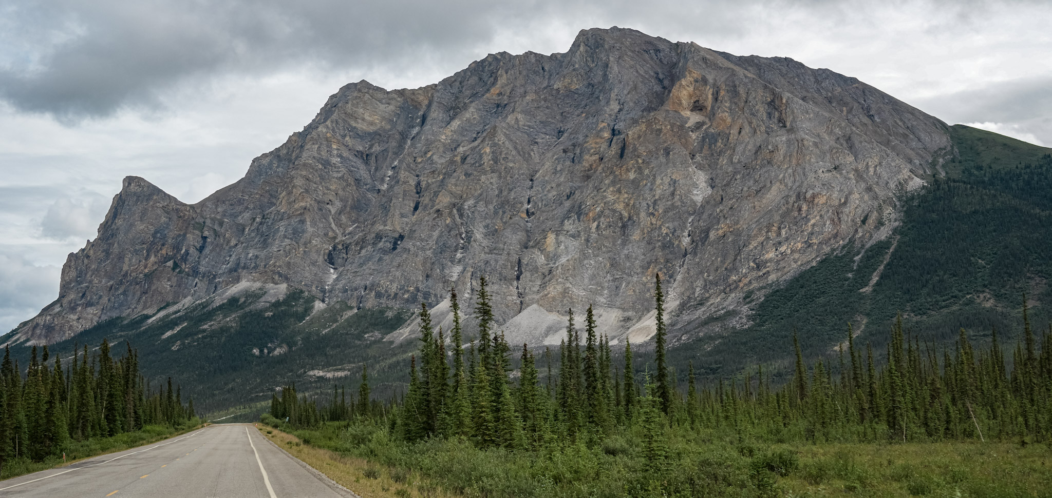
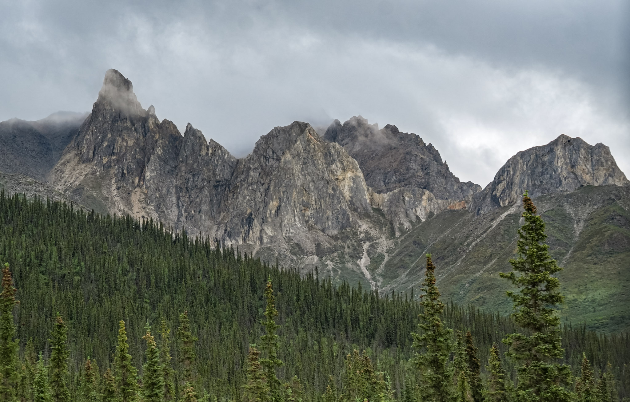
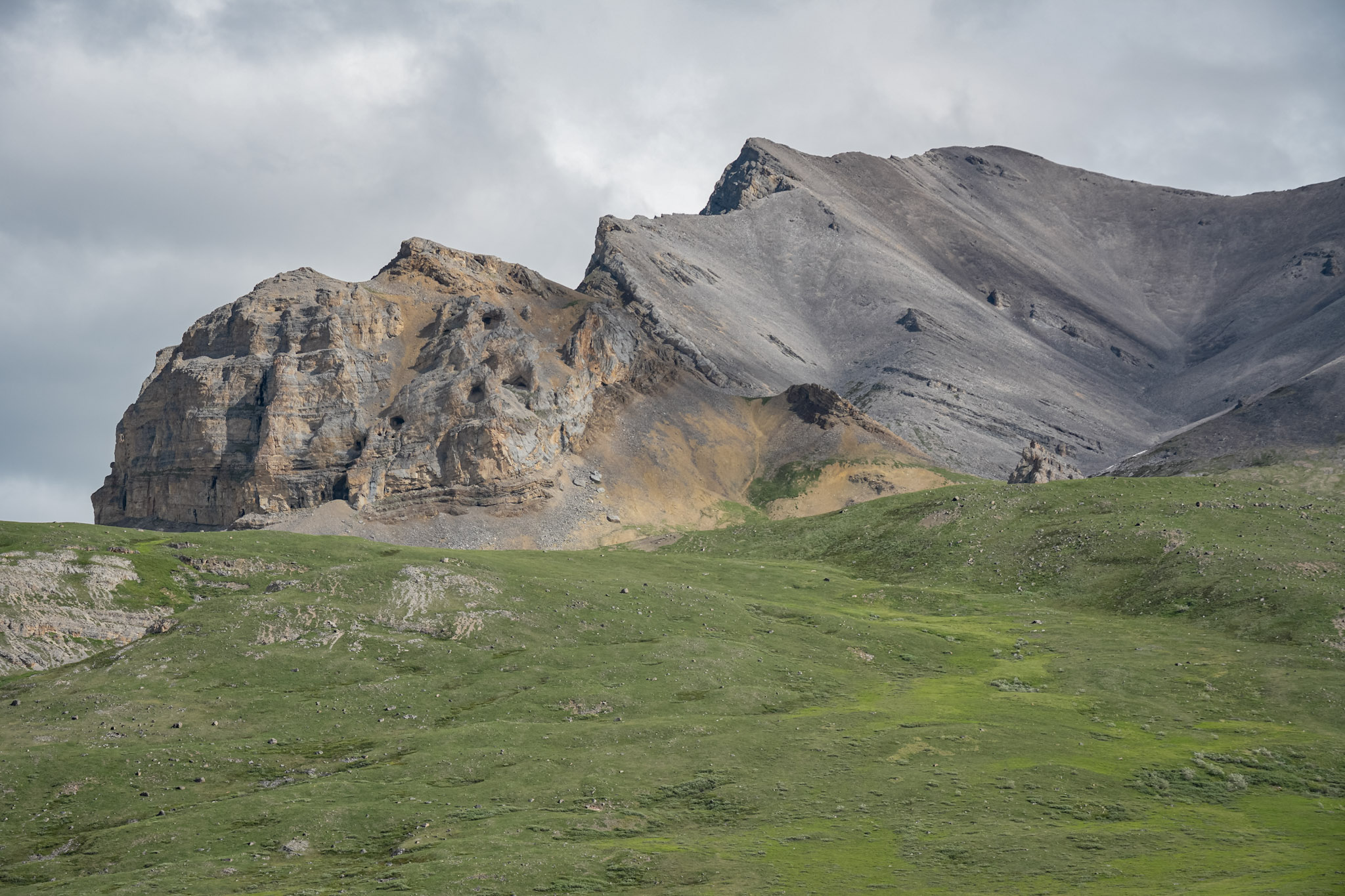
Beyond the campground, the Brooks Range gradually loosened its hold on the landscape. Rugged peaks softened into isolated ridges and broad foothills, with one final wall of layered rock rising above the tundra as though marking the mountains’ northern edge.
Near those last peaks, we spotted a marmot stretched across a rock, sunning itself with the relaxed confidence of an animal entirely at home. We did not get a photograph, but the sight remains one of those wonderfully unexpected road moments.
Soon the mountains fell behind us, and the rolling country opened into tundra beneath an immense horizon. There was nowhere for the land to hide—and seemingly no end to how far we could see.
Across the North Slope
The North Slope was not what I expected.
I had imagined a landscape defined mainly by cold, wind, and emptiness. Instead, the Dalton carried us across rolling green tundra threaded with streams and dotted with ponds. The road rose and fell over the open terrain, stretching toward distant ridges with almost nothing to interrupt the view.
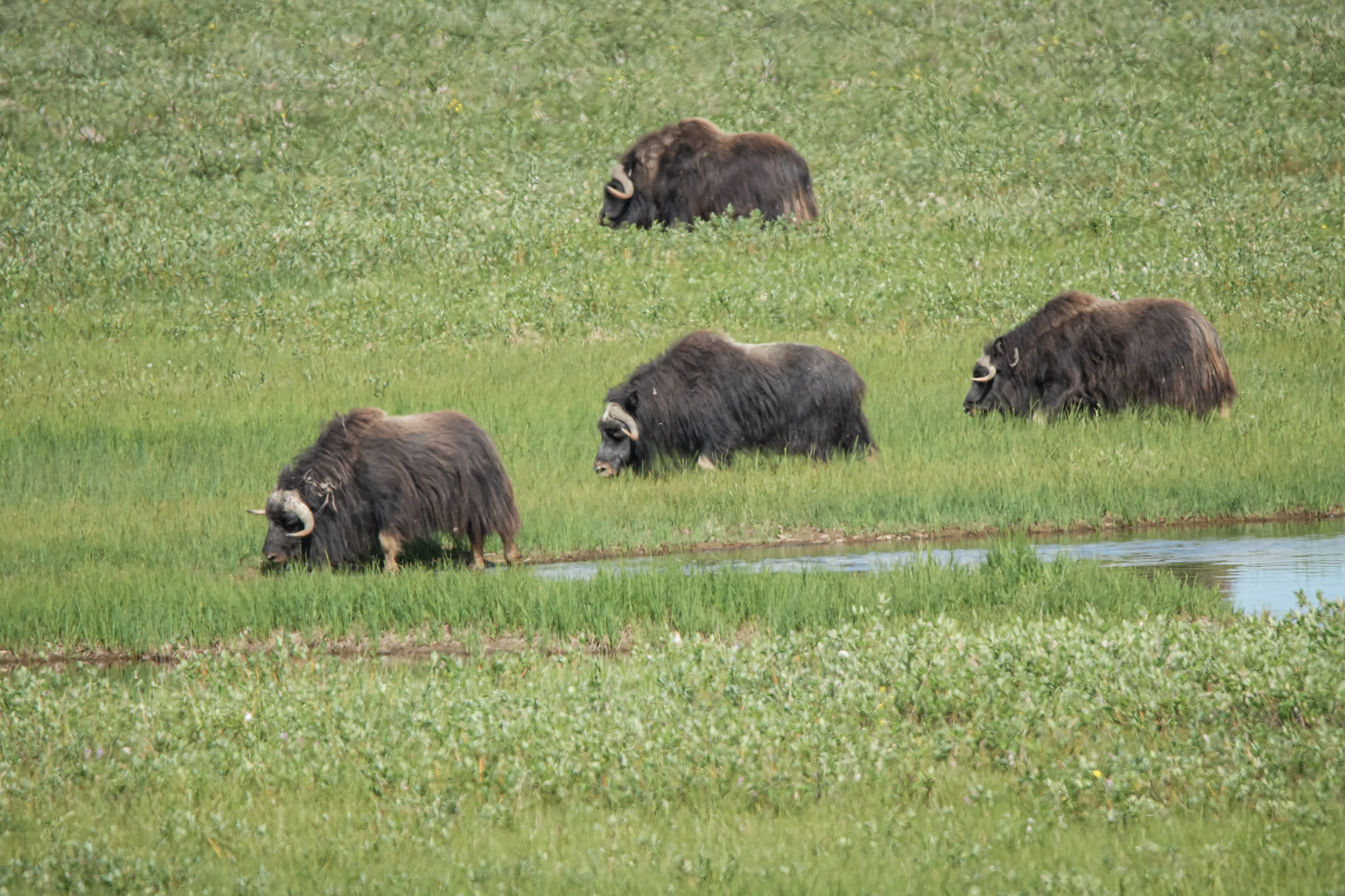
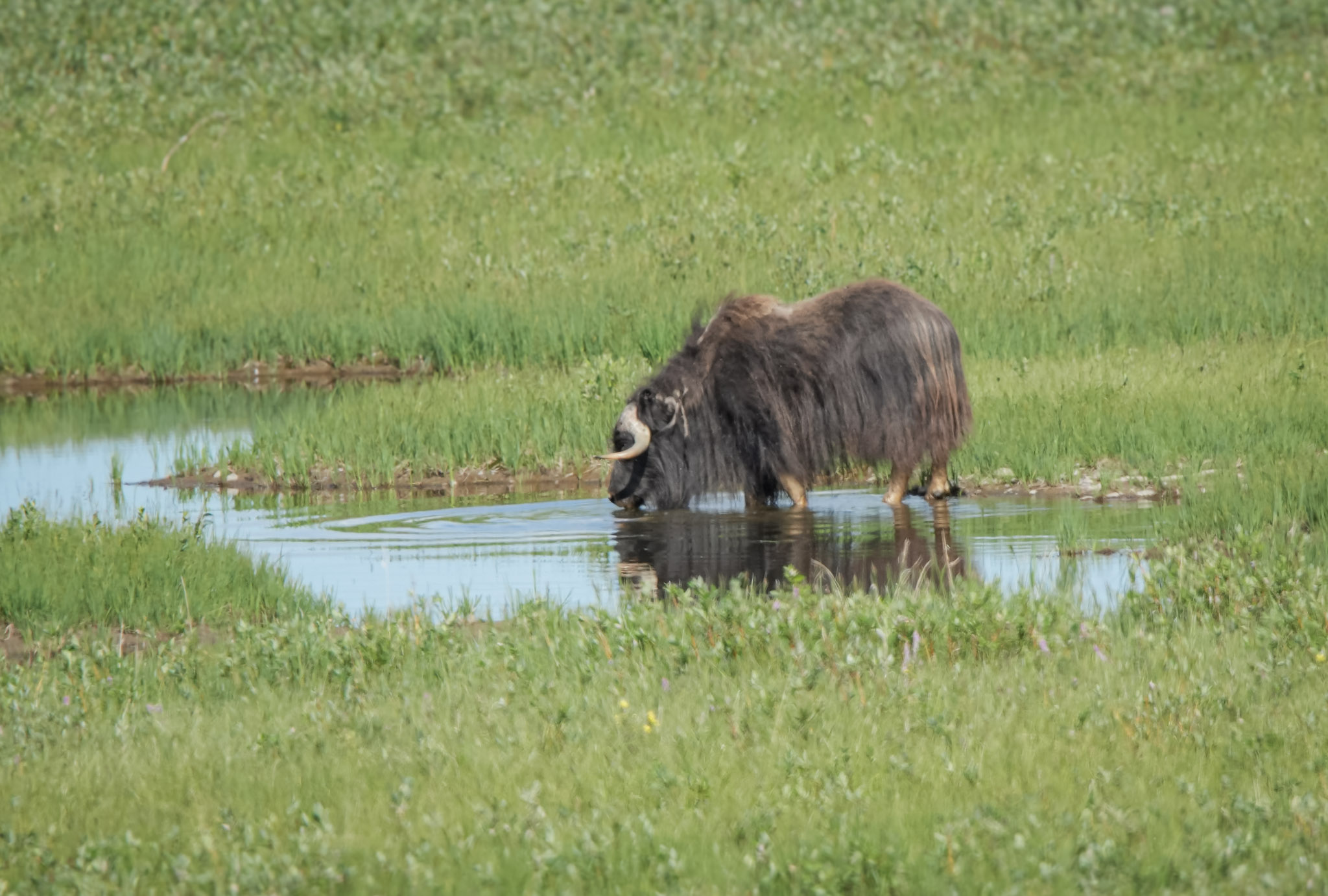
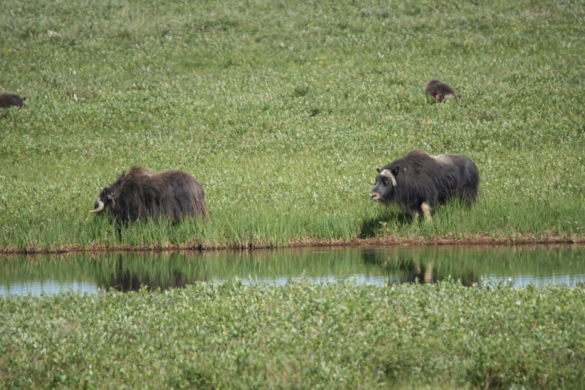
Then we saw musk oxen.
It was my first time seeing them in the wild—and not merely one animal, but an entire herd grazing near the wetlands. One stood knee-deep in the water, its heavy coat hanging nearly to the surface, while others moved slowly through the grass nearby. With their sweeping horns, shaggy coats, and prehistoric silhouettes, they seemed perfectly suited to this far northern landscape.
The sighting instantly located us in the Arctic. Moose and bears could be encountered elsewhere in Alaska, but musk oxen felt inseparable from the place we had worked so hard to reach.
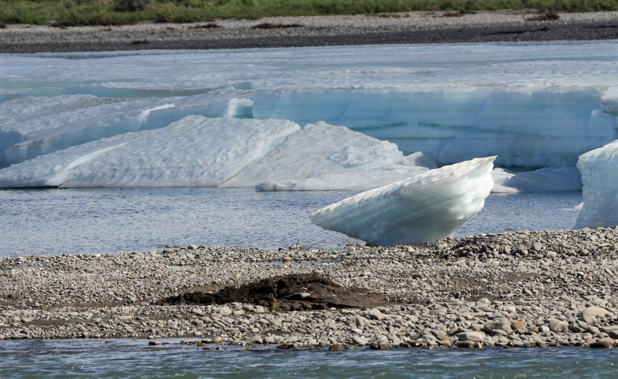
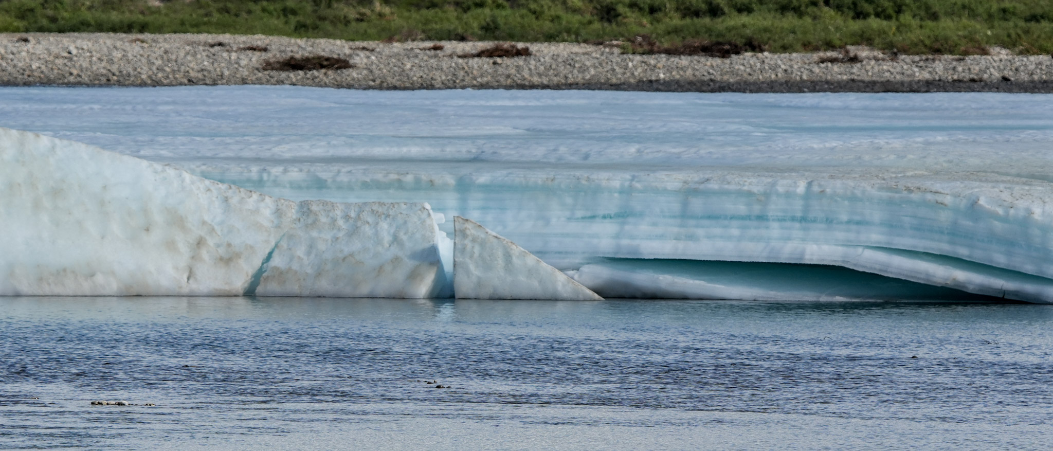
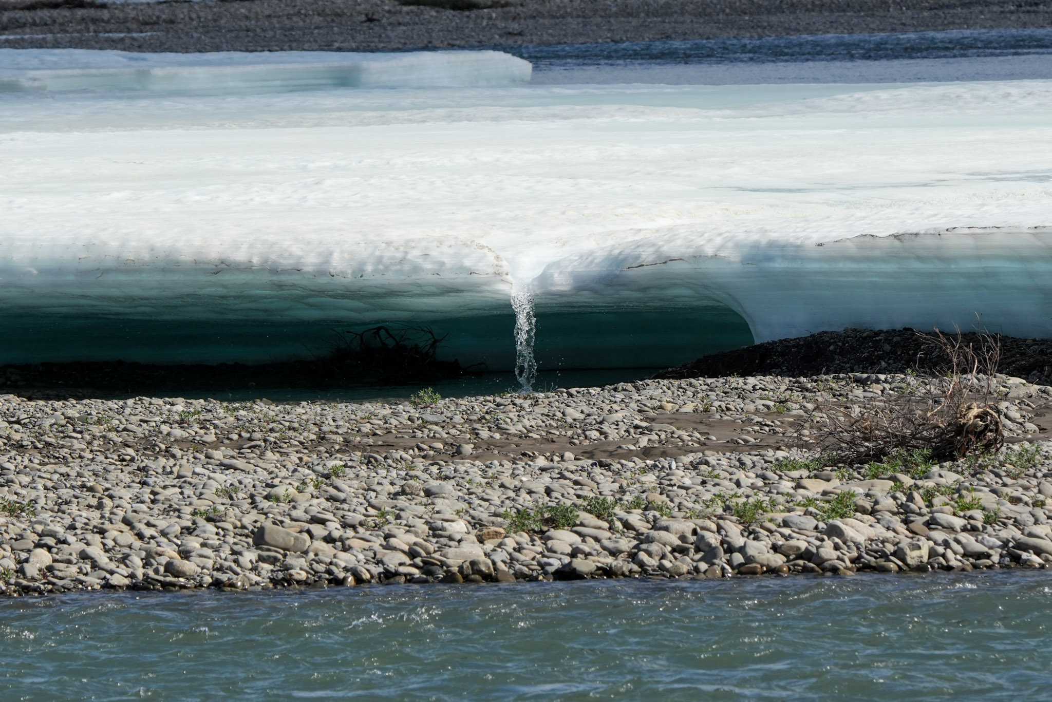
The Sagavanirktok River brought another surprise. Broad shelves and broken slabs of brilliant blue-white ice still filled portions of its gravel bed, even in the middle of July. This lingering ice is known as aufeis. During winter, water repeatedly flows over the frozen river surface and freezes in layers, sometimes creating enormous fields of ice that remain long after the surrounding snow has melted.
Some sections had fractured into angular blocks, exposing luminous blue bands within the ice. Elsewhere, meltwater trickled from beneath thick overhanging shelves before joining the river. Against the dark water and rounded gray stones, the scene looked more like a place at the edge of a glacier than a river beside the highway.
The farther north we traveled, the more the landscape opened. The mountains were now behind us, and even the remaining hills grew lower and more isolated. Near Deadhorse, pale, sculpted slopes rose above the tundra, streaked with gray, rust, and gold—one last unexpected flourish before the land flattened toward the Arctic coast.
The North Slope was vast, but it was far from empty. Musk oxen grazed beside wetlands, summer water flowed around winter ice, and color appeared where I had expected only gray.
The End of the Dalton
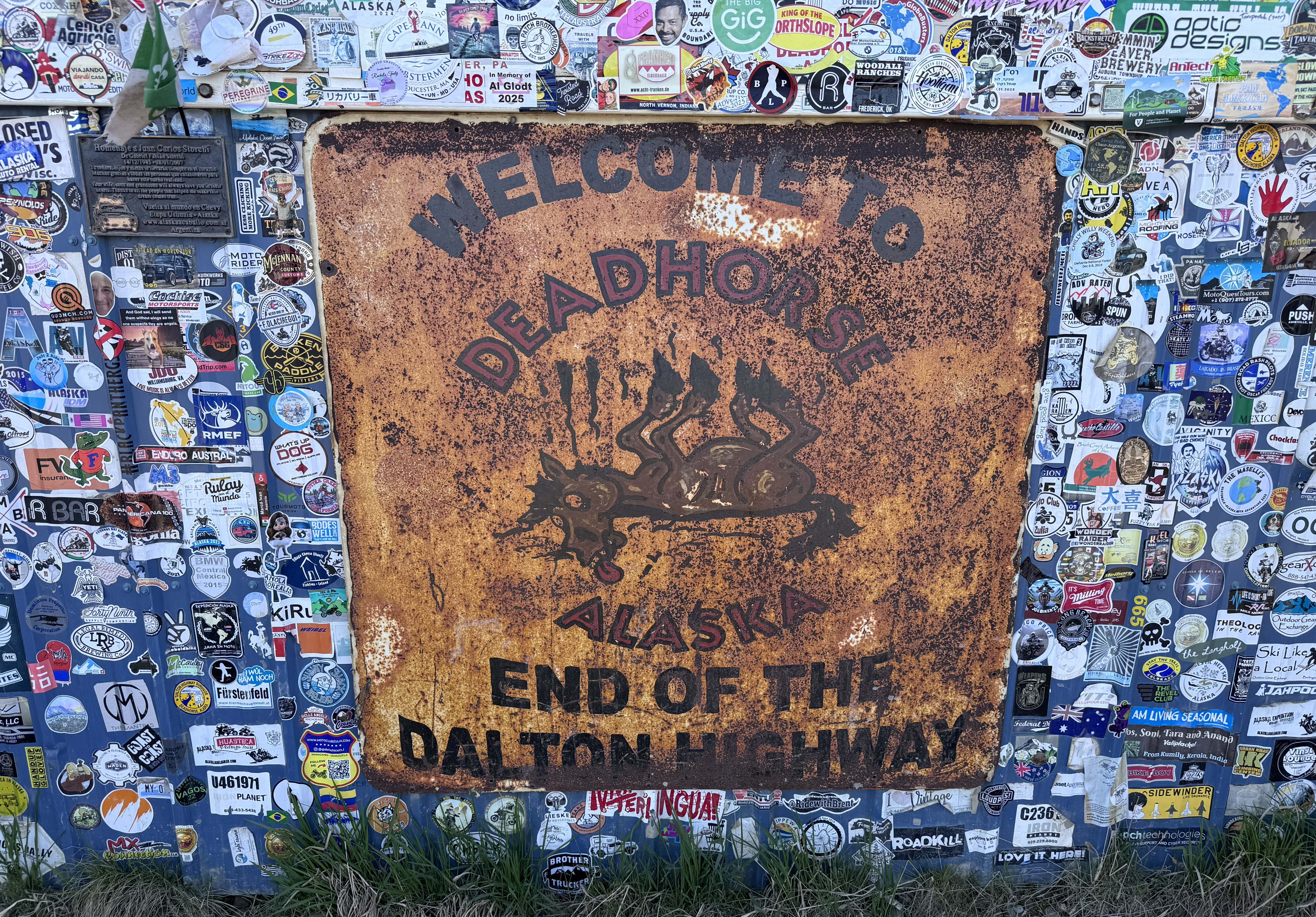
At last, after 414 miles, we reached Deadhorse—and stopped for the familiar photograph beside the weathered “End of the Dalton Highway” sign, nearly hidden beneath stickers left by travelers who had made the same long journey north.
The Dalton ended there, but Deadhorse did not resemble the conventional destination found at the end of most highways. It was not a picturesque Arctic village or a tourism-centered town. It was a working industrial community built to support the Prudhoe Bay oil fields. Equipment yards, work camps, warehouses, tanks, pipes, and machinery spread across the flat landscape, with buildings designed for function rather than appearance.
Nearly everything rested on broad beds of gravel, giving Deadhorse its unusual look. There were no sidewalks, lawns, or traditional streetscapes—only structures rising from wide expanses of rock. The gravel creates stable surfaces for roads and facilities while helping protect the ice-rich permafrost beneath them from heat and disturbance.
We learned that the oil companies leased the land and that everything brought onto it was intended to be removed when the contracts ended. I was surprised to learn that. Although the industrial complex appeared substantial, it was never intended to become an ordinary permanent town.
We stopped at the general store, where I bought a Deadhorse sweatshirt. It was not an emergency purchase, but it quickly proved useful in the evening wind—and several more times during the trip.
Later, we met Tim and Jeannie for dinner at Aurora Camp. Like Coldfoot, the buffet was designed to provide substantial meals for workers coming off long shifts. Aurora Camp felt more comfortable than some of the other lodging options, although none resembled a conventional hotel. Our room was at Deadhorse Camp, where the plain hallways and simple rooms felt more like barracks or worker housing—perfectly suited to the community’s purpose.
We had originally imagined using the rooftop tent throughout much of our Dalton journey, but tent camping around Deadhorse was not an option because of bear concerns. After two long days on the road, we were grateful to have secured a room.
We had reached the northern end of the Dalton, but the Arctic Ocean remained beyond the restricted oil fields. To reach it, we would need to board an authorized shuttle the following morning.
The Arctic Ocean
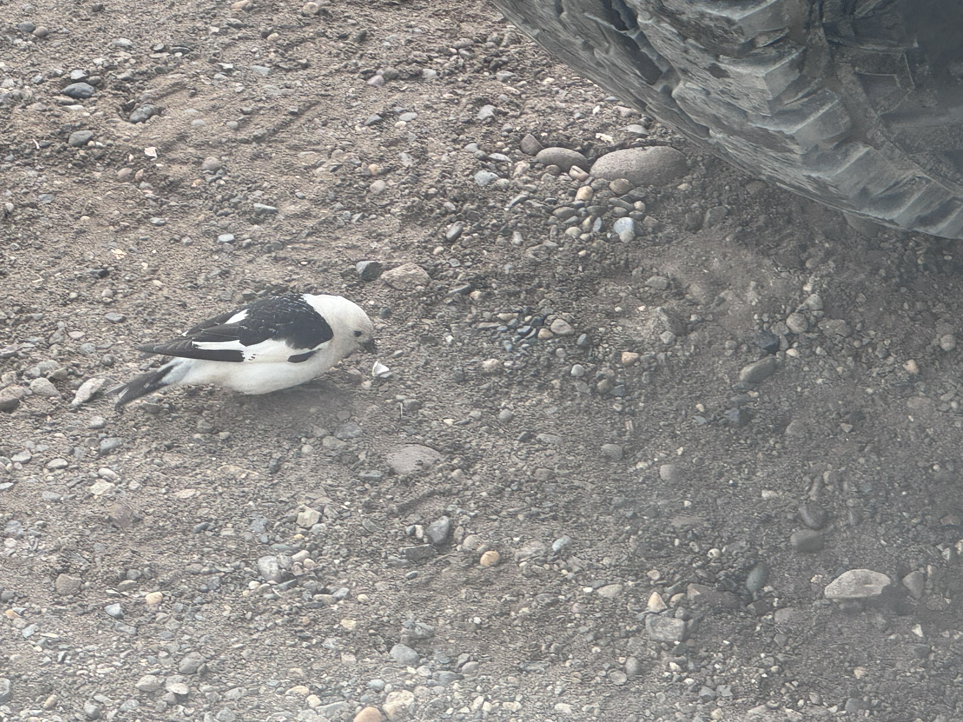
July 15 began beneath a gray Arctic sky. Before we left Deadhorse, a small bird hopped around the Jeep, plucking dead bugs from beneath the tires as though cleaning up after our long drive north. It was an amusing final reminder of just how many insects we had collected along the Dalton.
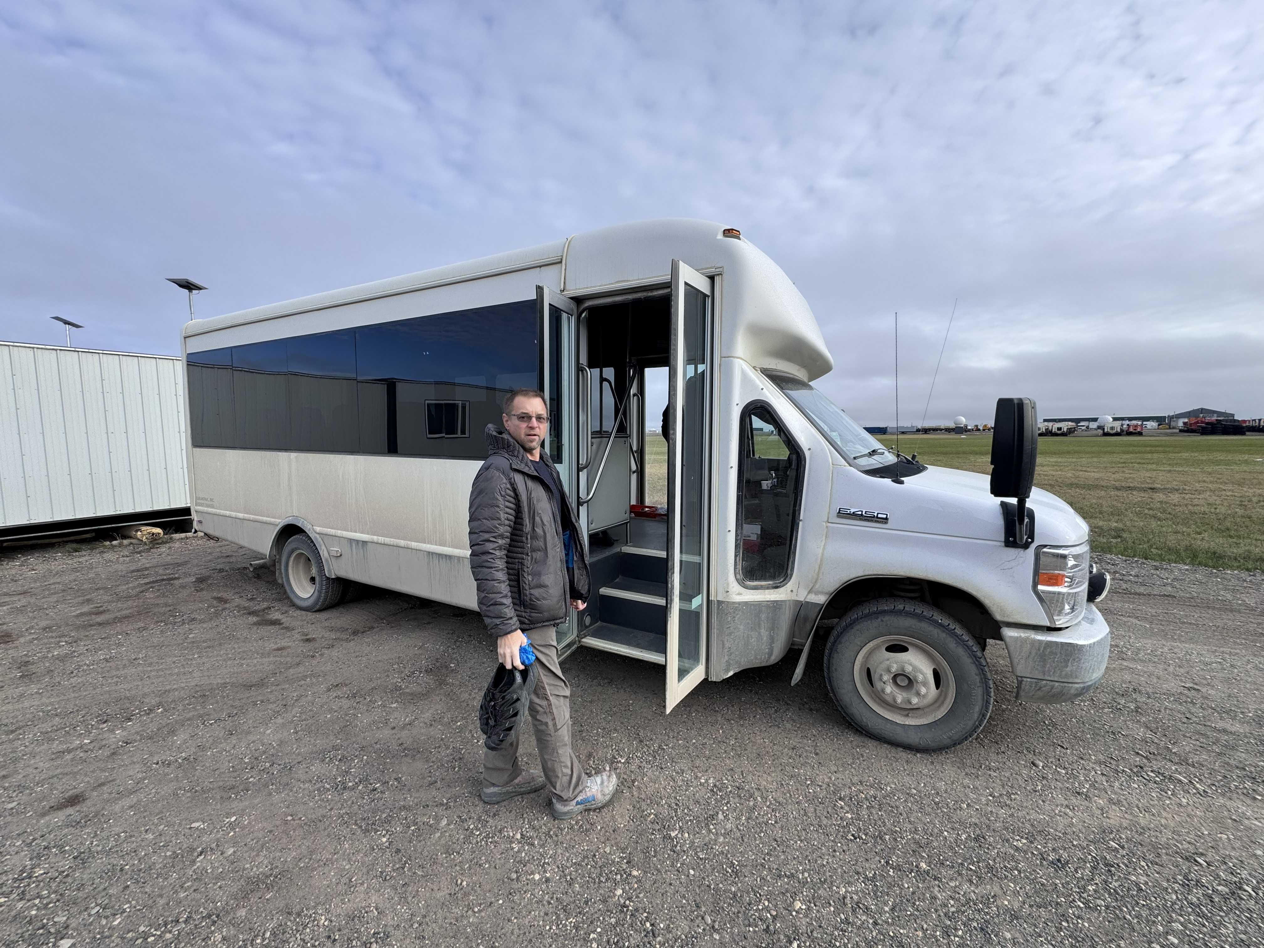
Soon, Bill and I boarded the Arctic Ocean shuttle with Tim and Jeannie, grinning like a group of goofy kids who could hardly believe where we were going. The ride carried us through the restricted Prudhoe Bay oil fields and across the tundra toward the Beaufort Sea, part of the Arctic Ocean.
Seasonal ponds spread across the flat landscape, filled with birds drawn to the brief abundance of an Arctic summer. Among them were tundra swans, their white bodies unmistakable against the dark water.
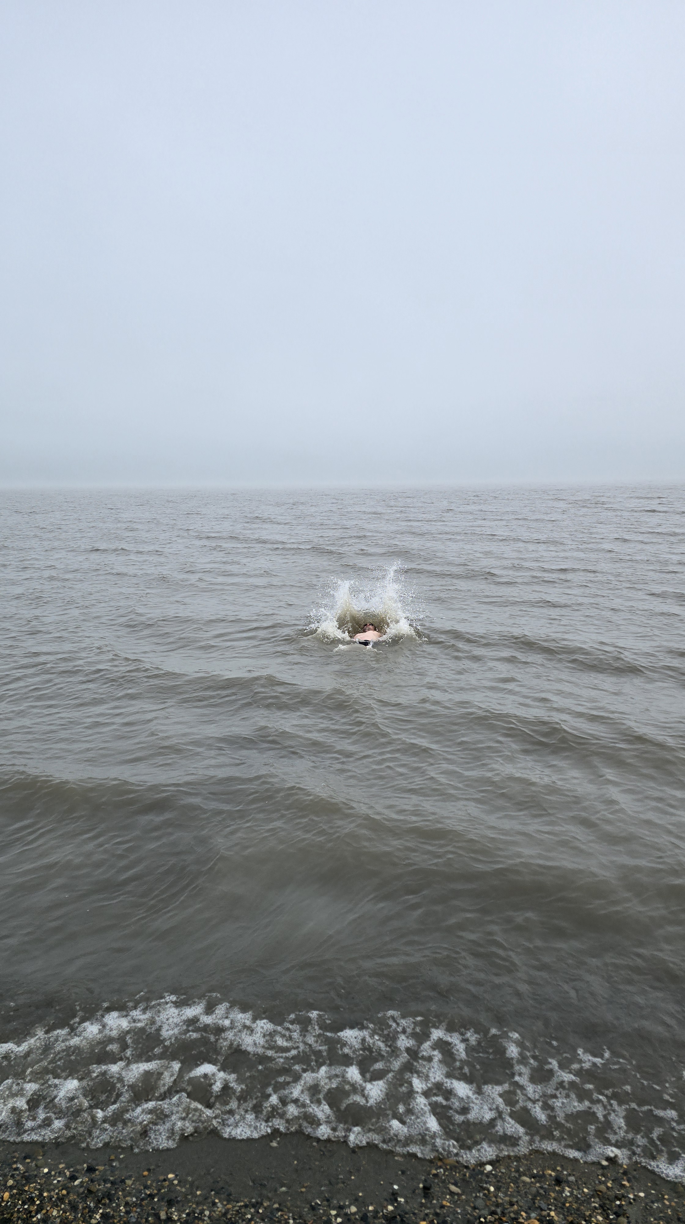
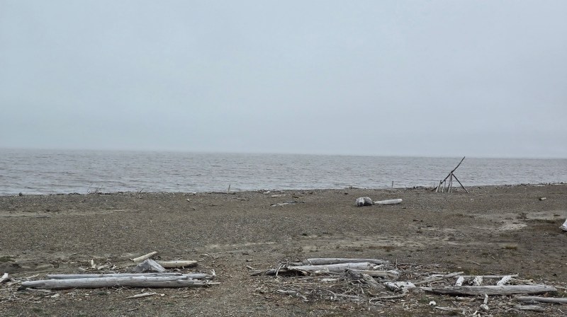
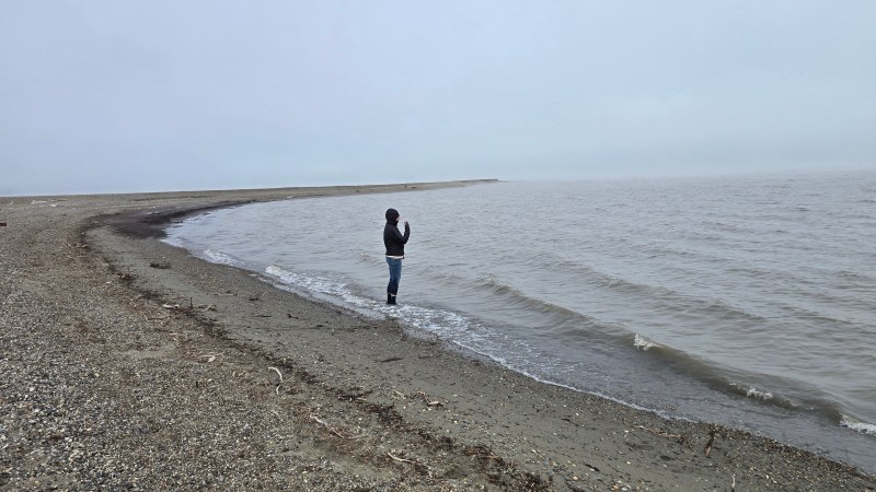
When we reached the shore, the temperature was approximately 36 degrees. Low clouds blurred the horizon until the gray sea and sky seemed to disappear into one another. Driftwood lay scattered across the gravelly beach, and small waves rolled toward the coast. After months of planning and more than four hundred miles on the Dalton, we had finally reached the Arctic Ocean.
I had prepared for the cold. Beneath my outer layers, I wore a heated base layer, with four layers covering my torso. I had also packed neoprene booties so I could enter the water without my feet immediately becoming painfully cold.
Bill had prepared very differently.
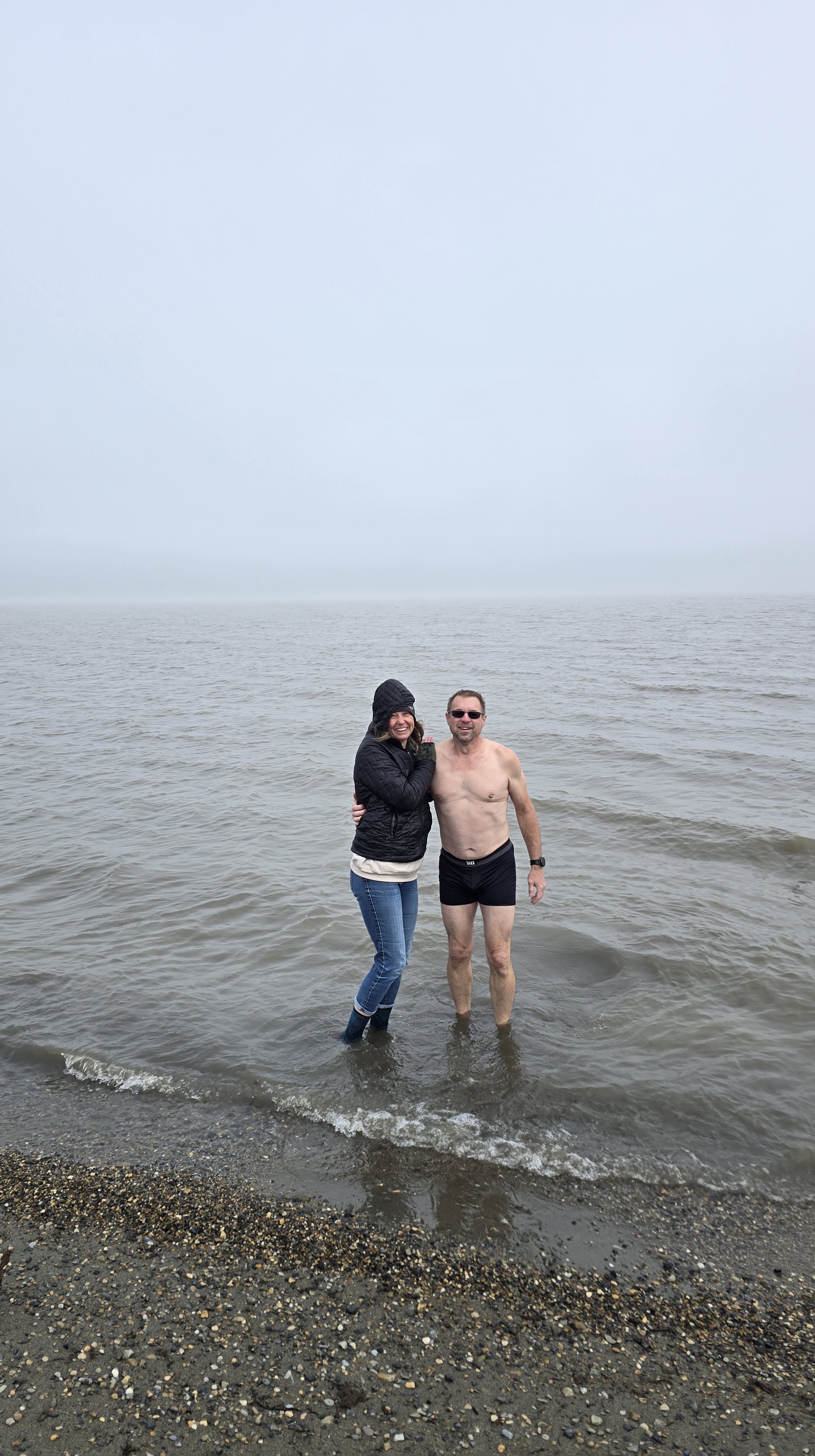
Almost as soon as we arrived, he stripped down to his underwear and headed into the ocean. He waded beyond the shallows, fully submerged himself in the frigid water, and came back out very quickly. Our shuttle driver had thoughtfully brought towels, and Bill wasted no time wrapping himself up and reaching for something warm.
Most people made a quick entry, celebrated, and hurried back toward the heated shuttle. I remained at the shoreline.
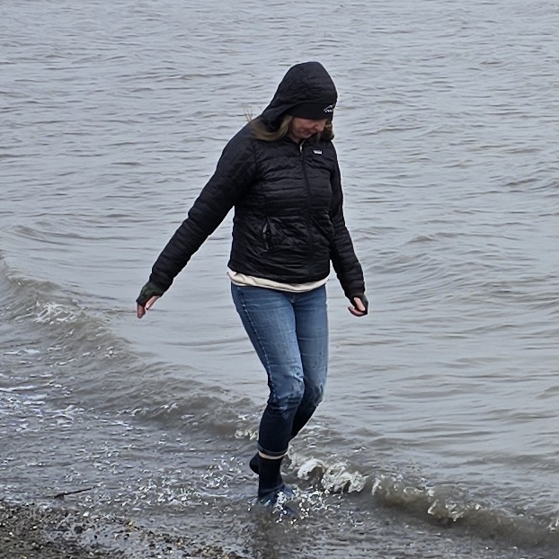
The neoprene booties worked better than I could have hoped. Instead of rushing out, I walked through the shallow water and along the edge of the sea, splashing, dancing, and taking in every moment. Bill joined me along the shore, and we simply walked beside the Arctic Ocean together.
I may have stayed in the water longer than anyone else in our group, but the moment was never about proving I could withstand the temperature. I wanted to be fully present in a place that had lived in our imaginations throughout months of planning.
Here we were, standing in the Arctic Ocean.
We had followed the pipeline north, crossed the Yukon River and the Arctic Circle, climbed through the Brooks Range, and driven across the North Slope. The cold water around my feet seemed to carry the weight of every mile that had brought us there.
Eventually, I was the last from our group to leave the beach. The driver had warmed the shuttle, and we climbed aboard laughing, shivering, and still trying to absorb what we had just done.
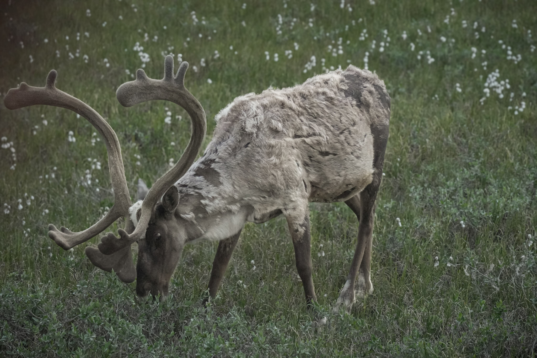
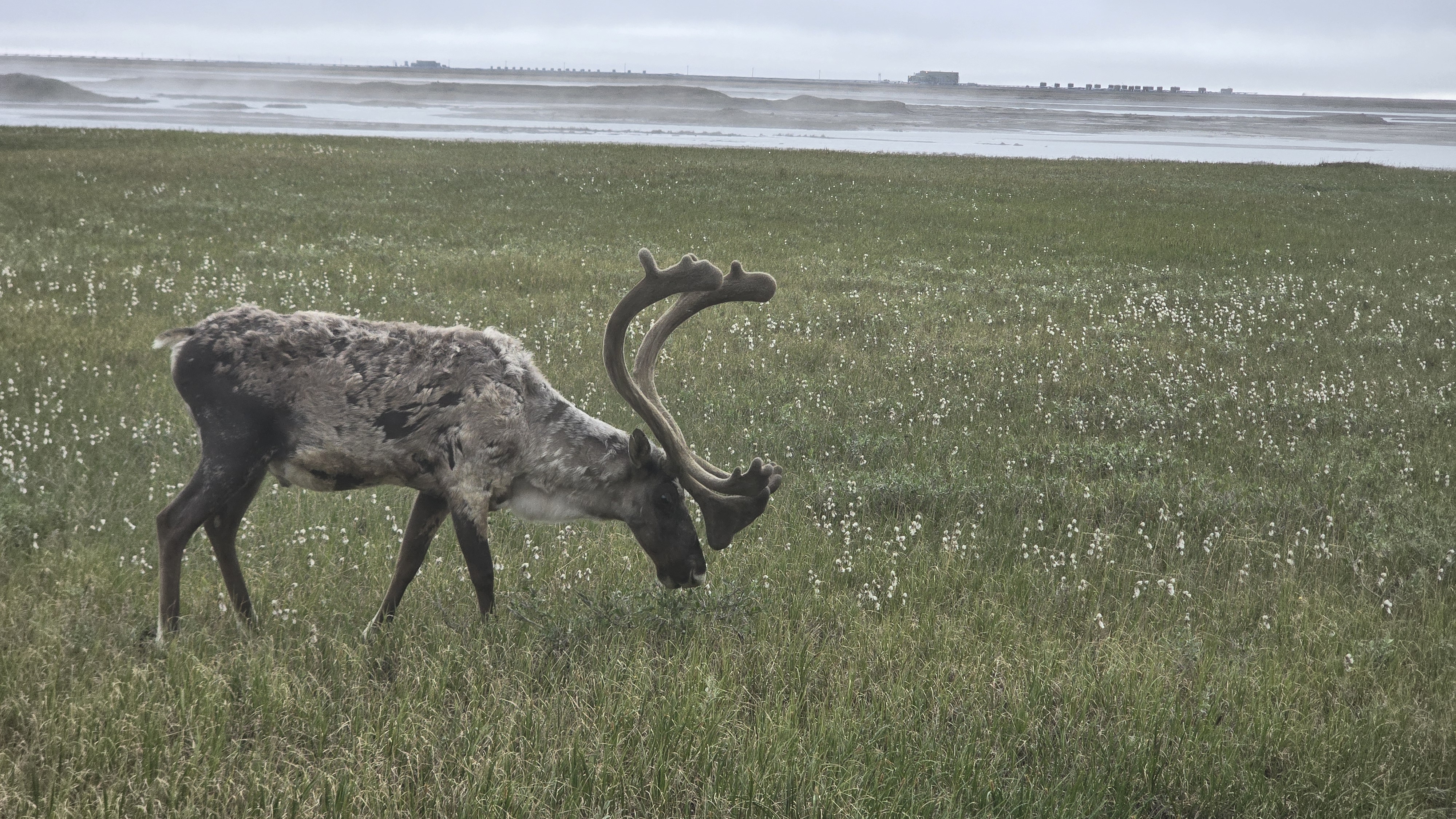
On the return ride to Deadhorse, the Arctic offered one more gift. A caribou grazed close to the road, giving us our clearest view of one yet. Its velvet-covered antlers curved above a coat still shedding uneven patches of winter fur as it fed among the cottongrass.
We had not simply reached the end of the road. We had reached the edge of a dream.
Southbound
Back at Deadhorse Camp, we changed into dry clothes, ate breakfast, and packed the Jeep. Our original plan had allowed two days for the return journey, giving us time to revisit favorite stops, camp once more along the Dalton, and experience the road at an easier pace.
Then the possibility of our rescheduled Denali flight changed everything.
If we could reach Fairbanks that night, we might still have a chance to make the flight. Bill decided to drive the entire length of the Dalton and continue onward to Fairbanks in a single day. It was an ambitious undertaking on a road where construction, gravel, truck traffic, and constantly changing surfaces could slow our progress. The drive ultimately took approximately twelve hours.
The North Slope passed by first, its wetlands and open tundra stretching beneath the endless daylight. Ahead, the Brooks Range slowly grew larger, reversing the transformation we had witnessed on the journey north. The foothills rose into ridges, the ridges sharpened into mountains, and the road climbed once again toward Atigun Pass.
We crossed the mist-covered pass, descended into the spruce forests near Coldfoot, and continued south toward the Arctic Circle. The same landmarks now carried different meanings. Northbound, each one had been part of the anticipation. Southbound, each measured the distance between us and the dream we had just fulfilled.
At the Arctic Circle, Bill and I stopped for one final photograph—and one last kiss in the Arctic. It was a small, playful farewell to the place we had been so excited to enter only a few days earlier. Then we crossed the invisible line again and continued south.
By the time we crossed the Yukon River and began the final miles toward Fairbanks, exhaustion had settled in. Yet the Dalton no longer existed only as a route we had studied on maps. It had become gravel beneath the Jeep, the pipeline crossing distant hills, swarming mosquitoes, late-evening sunlight pouring through the rooftop tent, waterfall streams in the Brooks Range, musk oxen on the North Slope, shared meals with Tim and Jeannie, and freezing Arctic water around my feet.
For months, the Dalton Highway had represented the possibility of an Alaska expedition. Now it represented something we had actually done.
The road that started the dream was behind us, but the expedition was far from over.
From My Field Journal
July 15, 2026 · Morning · Arctic Ocean
Here we were, finally reaching the Arctic Ocean. That morning when we reached the water, it was 36 degrees outside. Bill stripped down to his underwear and fully submerged himself, while I walked along the coastline in my neoprene booties. They worked fabulous—my feet never felt cold. I think I stayed in the water longer than anyone else. After all the miles it took to get there, I did not want to rush the moment. I wanted to take it all in: we were actually standing in the Arctic Ocean.
EXPEDITION SNAPSHOT
THE ROUTE Fairbanks → Coldfoot → Deadhorse and Prudhoe Bay → Fairbanks
ROAD TRAVELED Dalton Highway
HIGHEST POINT Atigun Pass — 4,739 feet
LANDSCAPE Boreal forest, the Brooks Range along the eastern edge of Gates of the Arctic National Park, alpine tundra, North Slope wetlands, and the gravel shoreline of the Arctic Ocean
MAJOR MILESTONES Yukon River, Finger Mountain, Arctic Circle, Brooks Range, North Slope, End of the Dalton Highway, and Arctic Ocean
MEMORABLE MOMENTS Standing in the Arctic Ocean after following the Dalton all the way north
STAYED Marion Creek Campground and Deadhorse Camp
UNEXPECTED DISCOVERY How alive the far north felt. Instead of the barren, frozen landscape we had imagined, we found green tundra, summer wildflowers, shallow wetlands, migrating birds, caribou, and musk oxen.
Next Chapter
We left Fairbanks heading south toward Talkeetna, hoping the weather would finally allow us to take our rescheduled summit flight around Denali. Instead, the clouds rolled back in, leaving us with a difficult choice: repeat the below-the-clouds route or change our plans entirely.
Bill chose the unexpected option.
Rather than turn around and drive four hours back to Fairbanks, we pivoted south toward Seward—our first coastal town in Alaska. That spontaneous decision would lead us into Kenai Fjords National Park, where glaciers met the sea and an extraordinary gathering of marine wildlife awaited.
What began as another missed flight was about to become one of the greatest surprises—and biggest highlights—of our Alaska expedition.





Leave a Reply