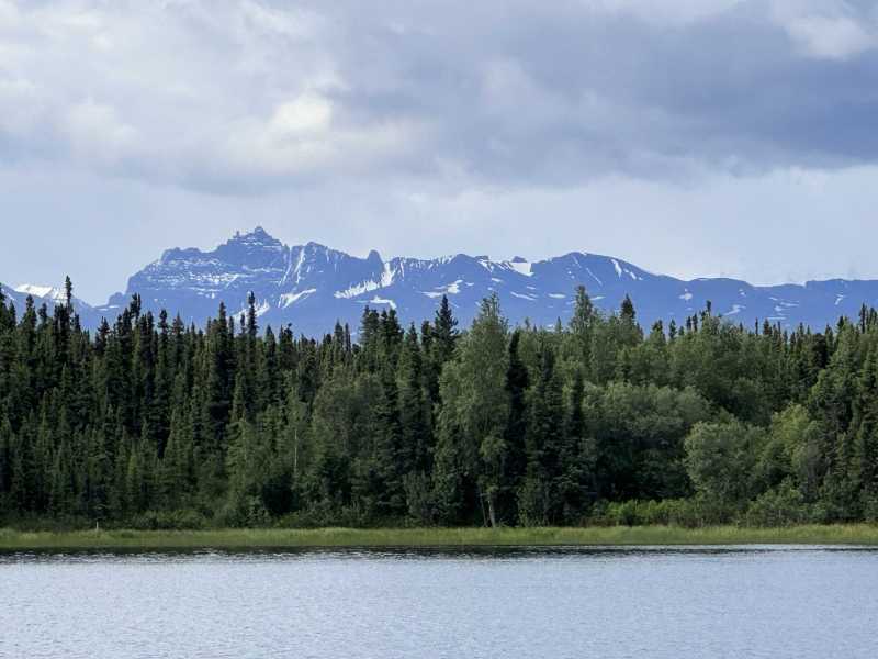
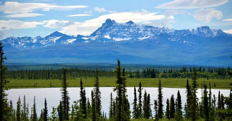
When I looked across the water from our campsite, the view seemed even better than it had the night before. The lake stretched beyond the rooftop tent toward a wall of spruce, and above the trees rose a rugged line of snow-streaked mountains beneath gathering clouds. After three days that had carried us from Denali to the coast and back inland again, it was a beautiful place to begin our final day in Alaska.
We packed camp and continued east, knowing that sometime later that day we would cross into Canada. Alaska had filled only ten days of the larger expedition, yet those ten days had somehow contained the Arctic Ocean, Denali, the Dalton Highway, glaciers, whales, fjords, wildlife, remote camps, and thousands of miles of road.
But Alaska was not quite finished with us.
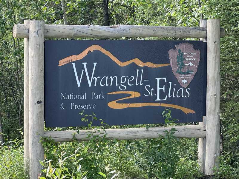
Not far from Gakona, Wrangell–St. Elias National Park and Preserve appeared along our route. We had not planned an elaborate visit, but with the largest national park in the United States sitting almost directly in our path, there was no chance we were simply going to drive by.
At 13.2 million acres, Wrangell–St. Elias is immense. Four major mountain systems meet within the park—the Wrangell, St. Elias, Chugach, and eastern Alaska ranges—and nine of the sixteen highest peaks in the United States rise within its boundaries. Mount St. Elias reaches 18,008 feet.
It would be our third Alaska national park of the trip.
Into America’s Largest National Park
We stopped first at the visitor center, where Bill talked with a ranger about what we could realistically explore with the time we had. Wrangell–St. Elias is so enormous that no single road can reveal the park, and much of it remains roadless.
For us, the answer was the Nabesna Road.
Beginning near Slana, the 42-mile gravel road reaches into the northern portion of the park between the Wrangell, Mentasta, and Nutzotin Mountains. Built in 1933 to support the Nabesna Gold Mine and transport ore from the remote mining district. Today, the road offers one of the few opportunities to drive deep into Wrangell–St. Elias, passing lakes, rivers, trailheads, old mining areas, and miles of sparsely traveled country.
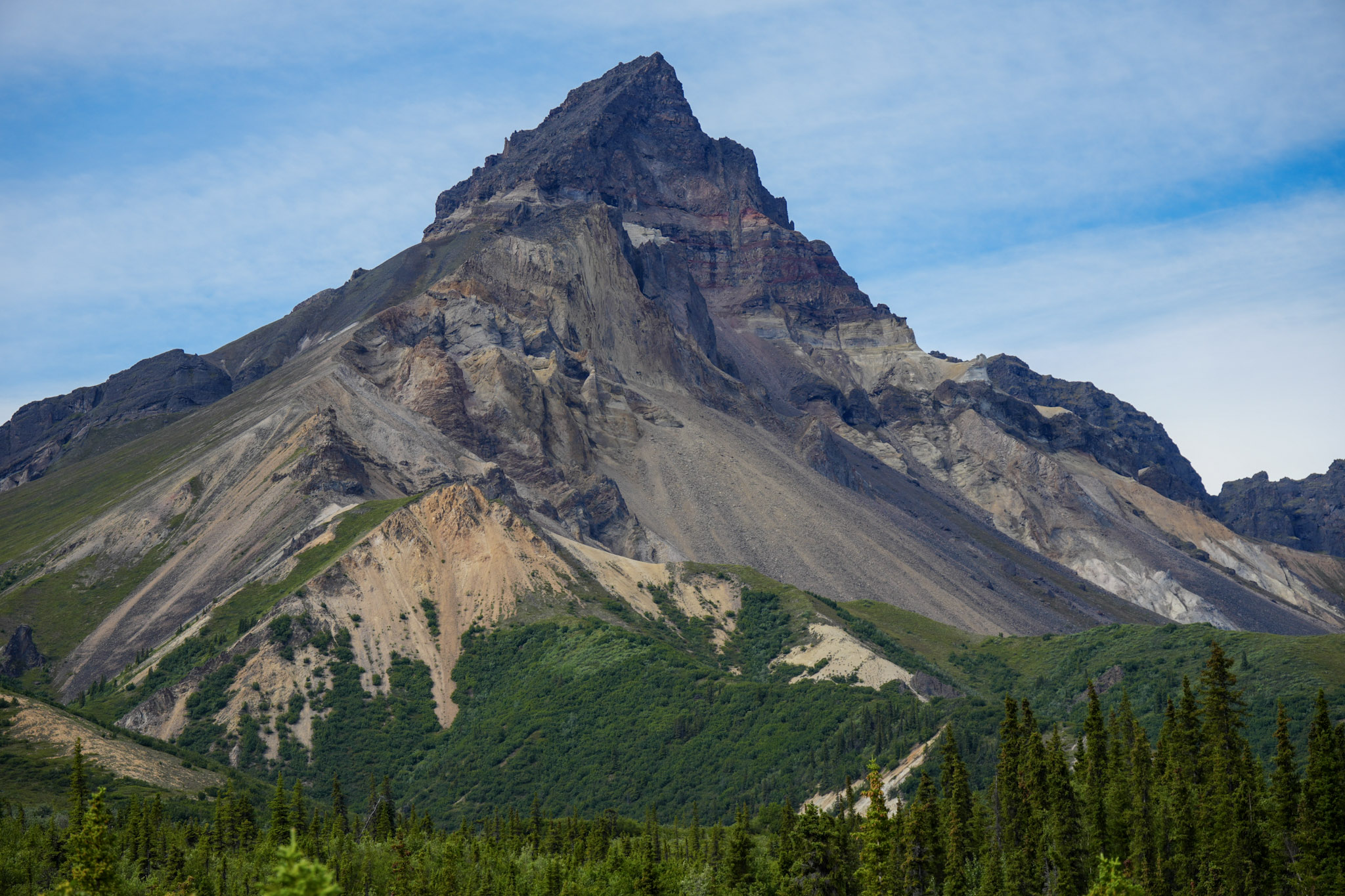
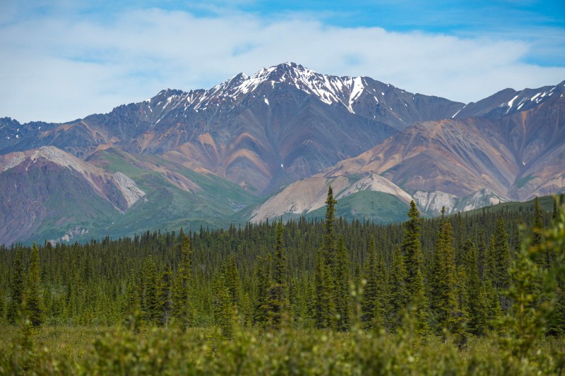
Almost immediately, the landscape began to change. Some mountains rose in long dark ridges above thick spruce forest; others revealed tilted bands of gray, rust, white, and reddish rock. Broad valleys opened toward distant snow-covered peaks before the road disappeared again between trees and steep slopes.
It felt less like driving toward a particular attraction and more like slowly entering the geology of the park itself.
The Nabesna Road
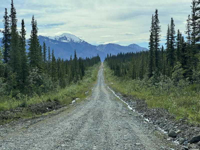
The farther we traveled, the more the familiar roadside world disappeared behind us. Gravel replaced highway, the forest pressed closer, and mountain views appeared and vanished between the trees.
Then came the creek crossings.
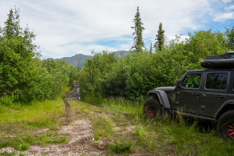
Three stream crossings lie along the latter portion of Nabesna Road, and their depth can change considerably with rain and runoff. At one, water spread across the gravel in several channels before the road climbed back into the forest. For the Jeep, the crossings simply became another part of the adventure.
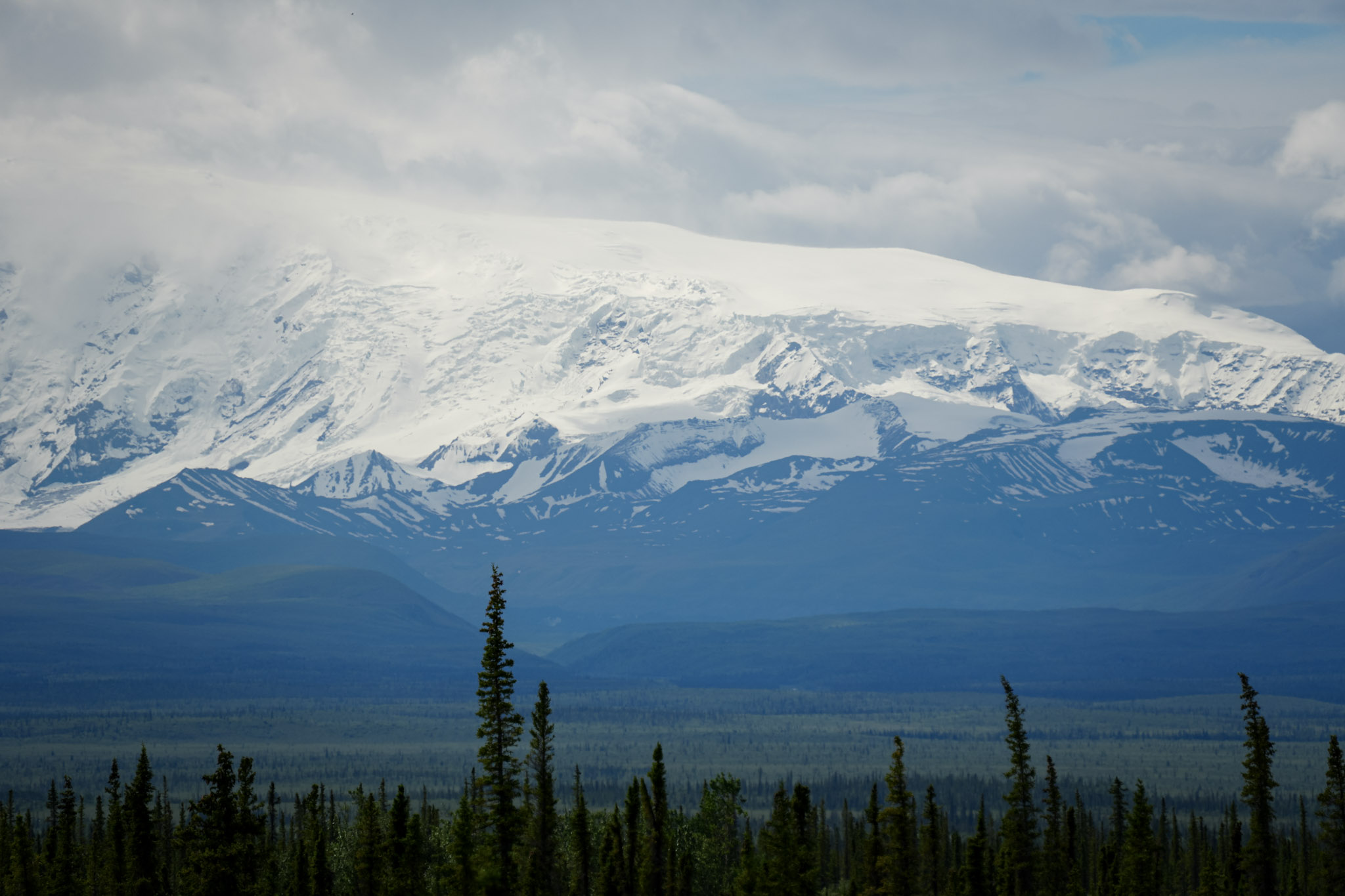
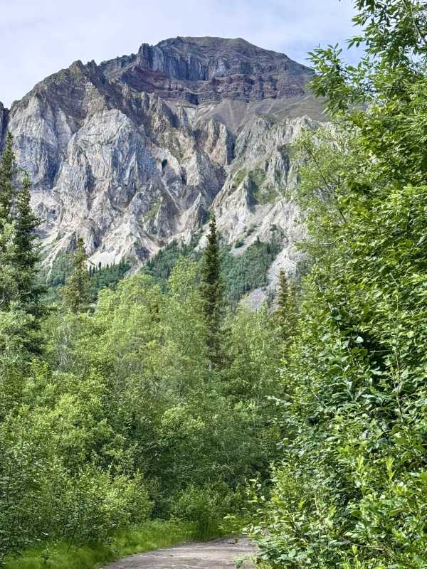
Around us, spruce and willow filled the valley floor while deeply eroded mountains rose beyond them. One opening revealed a lake beneath a jagged skyline; another exposed broad snow-covered slopes beneath drifting clouds. Elsewhere, colorful cliffs towered above the road.
The Nabesna Road was rough enough to remind us that we were traveling somewhere remote, but beautiful enough that the miles passed quickly. By the time we neared its end, the road itself had become part of the reason we were there.
At the End of the Road
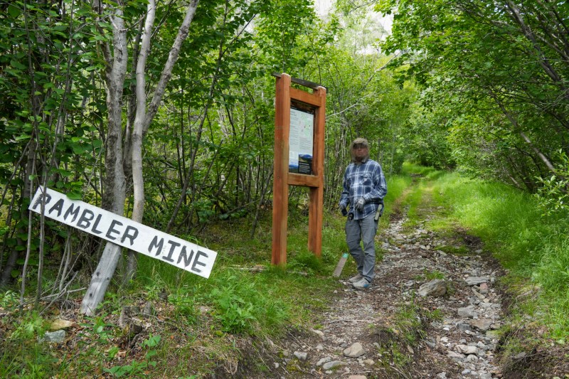
Near the end of Nabesna Road, we turned onto the rough track leading toward the Rambler Mine trailhead. Calling it a road felt generous in places. It narrowed between thick brush, dipped through muddy stretches, and included a fairly deep water crossing before finally bringing us to a small clearing where we could leave the Jeep and continue on foot.
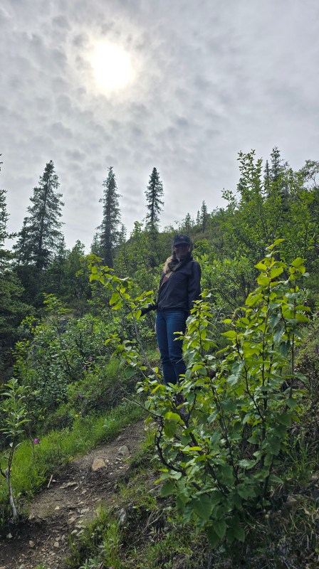
The trail began beneath a tunnel of alder and spruce, and almost immediately the mosquitoes made their presence known. Out came the head nets again, and I pulled on my windbreaker despite the warm day simply to put another layer between me and the bugs. By this point in the trip, battling mosquitoes had become almost as much a part of exploring Alaska as gravel roads and mountain views.
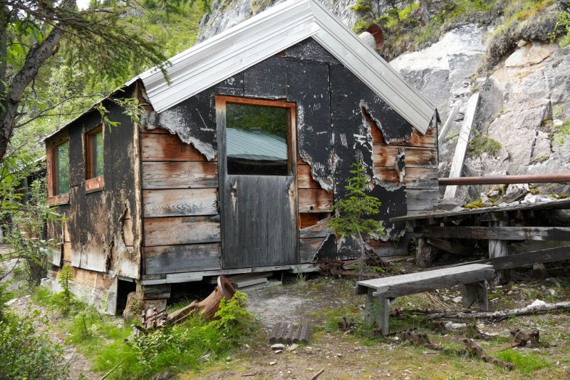
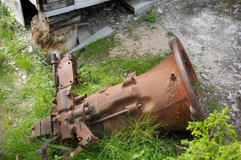
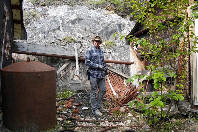
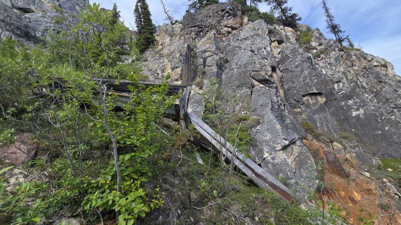
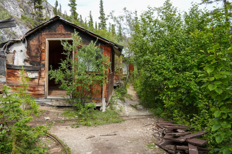
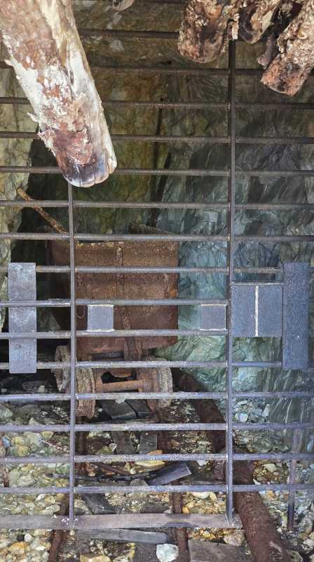
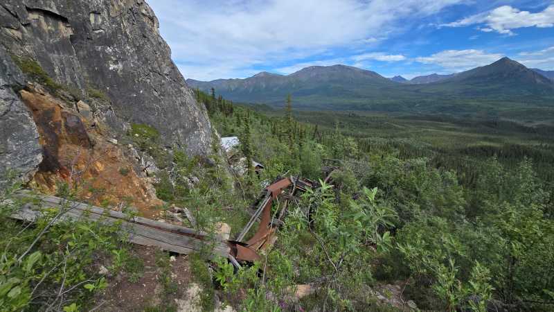
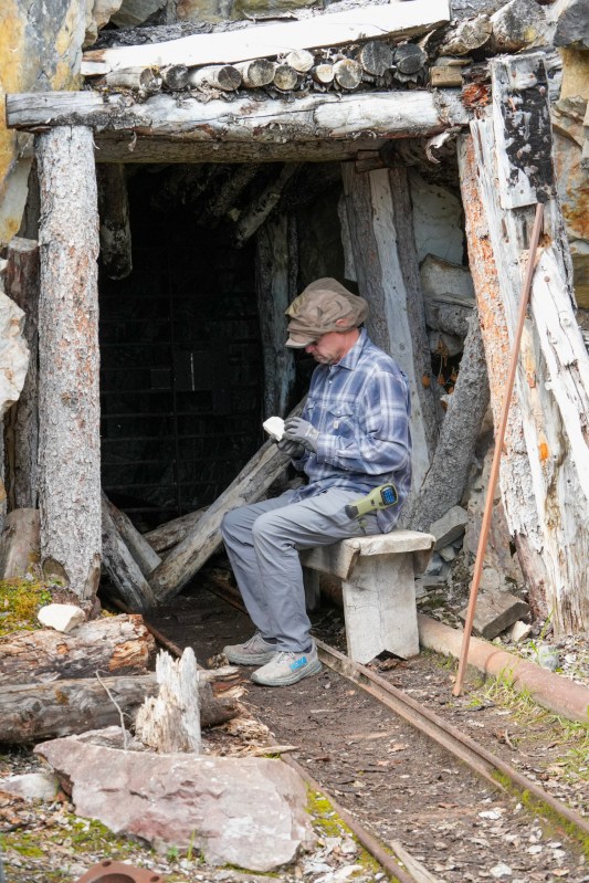
Before long, the remains of the Rambler Mine began appearing through the trees. Gold was mined here during the 1940s, when operations associated with the nearby Nabesna mining district expanded into what was first called the Golden Eagle Mine and later became known as the Rambler Mine. Weathered buildings stood against the rocky hillside, some surprisingly intact while others had begun collapsing into the vegetation. Rusted pipes, rails, machinery, ore-processing equipment, and pieces of mining gear remained scattered around the site. One opening led directly into the rock, its timbers and rails still hinting at the work once carried on inside.
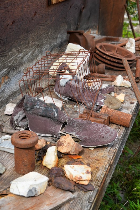
What struck me most were the smaller remnants. Among all the rusted machinery were old shoes, rocks collected near the workings, and ordinary objects once handled by the people who had worked here. The mine did not feel reconstructed or preserved behind museum glass. It felt abandoned in place, slowly being reclaimed by the mountain.
Bill stopped to examine some of the rocks while I wandered among the buildings and equipment. Then we climbed a little higher above the structures, and the mine suddenly became only a small piece of a much larger scene.
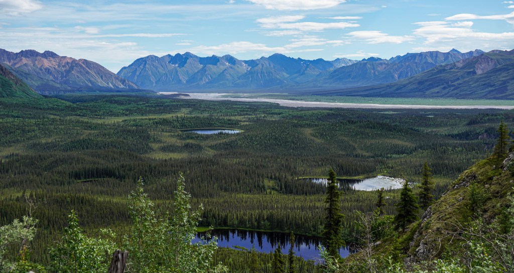
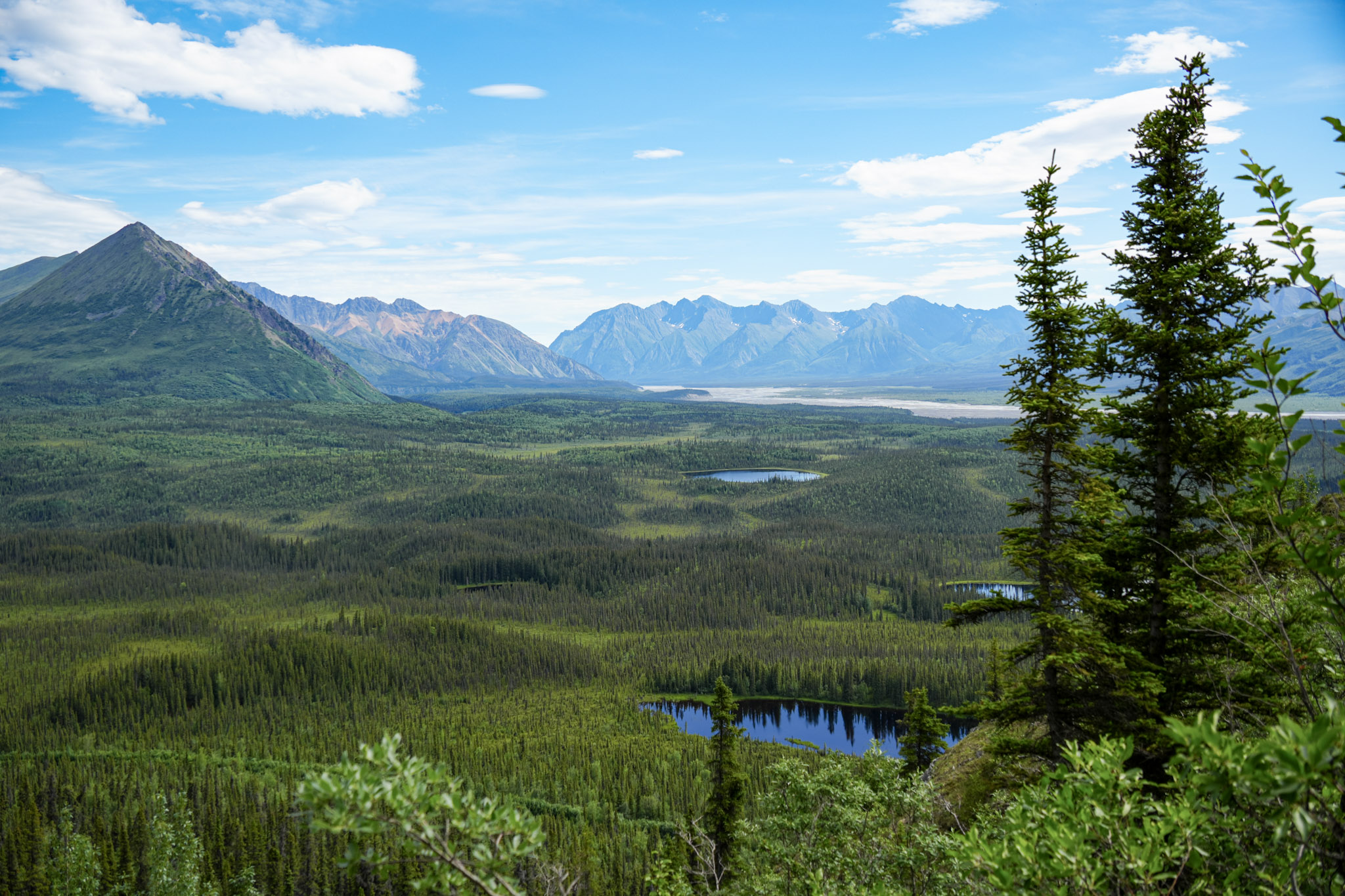
Below us stretched an immense green valley dotted with small ponds and crossed by the braided channels of the Nabesna River. Beyond it rose the jagged Nutzotin Mountains, layer after layer of ridges fading beneath a brilliant blue sky. From our perch against the rock face, pieces of the old mine remained visible among the trees below—a tiny human footprint within an enormous landscape.
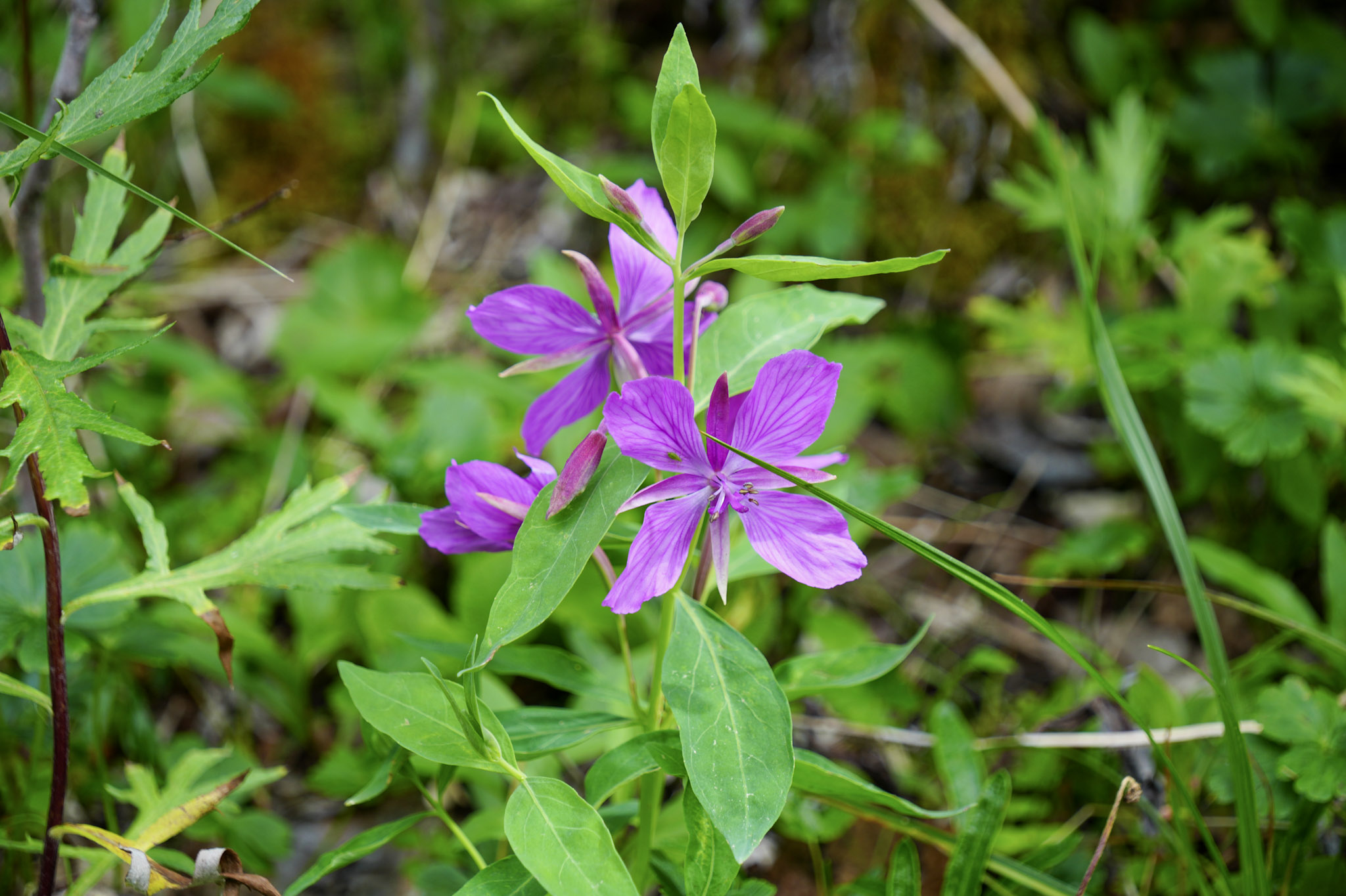
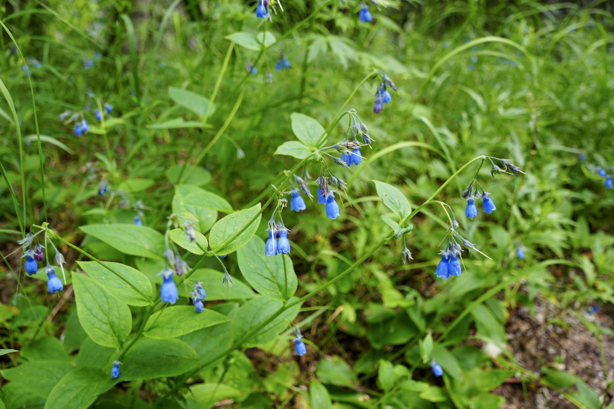
Along the trail, blue bell-shaped wildflowers and flashes of pink fireweed softened the scene, growing among the brush and weathered remains.
Back on Nabesna Road, the mountains continued to shift in color and shape as we made our way out of the park. Some rose in sharp dark spires streaked with gray, rust, and tan; others were broader, with green lower slopes fading into bare ridgelines and lingering snow. Even after spending most of the day surrounded by mountains, I kept finding reasons to look again.
As we made our way out of the park, several ptarmigans appeared near the road. For a moment they stayed together on the ground before suddenly lifting into the air as a group. Against the mountains behind them, it felt like a fitting final wildlife encounter for our third Alaska national park.
Ahead waited the Alaska Highway and a border we had not yet crossed together on this journey.
Goodbye, Alaska
Eventually, the Nabesna Road carried us back toward the Alaska Highway, and for the first time that day, our direction felt significant. We were no longer simply driving toward another stop. We were leaving Alaska.
Ten days earlier, I had arrived in Fairbanks with an itinerary full of places I hoped we might see. Since then, we had traveled the Denali Highway, explored Denali National Park, crossed the Arctic Circle and reached the Arctic Ocean, watched whales and glaciers in Kenai Fjords, and spent our final Alaska hours following a rugged road into Wrangell–St. Elias. By the time we reached the border, our overland journey through the state had covered roughly 3,040 miles.
Leaving was bittersweet. Alaska had been bigger, wilder, and far more varied than I had imagined.
But the expedition was far from over. Another first was waiting just across the border.
Crossing Into the Yukon
We joined the Alaska Highway and continued toward the international boundary. I had traveled in Canada before, but never in the Yukon, and crossing into the territory meant entering the fourth Canadian province or territory I had visited—a place I had previously known mostly from maps and imagined road trips.
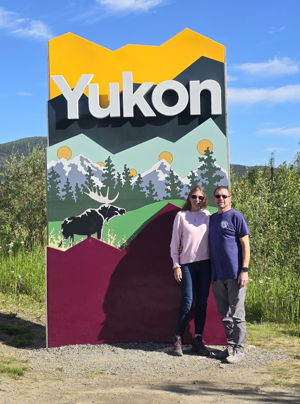
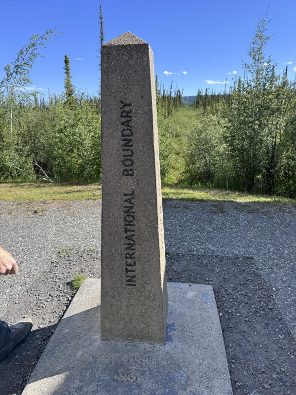
The landscape did not suddenly change at the border. Mountains, forest, and enormous skies continued uninterrupted, but the boundary marker still made the moment feel official. We stopped for the obligatory photos before continuing to Beaver Creek, where the transition brought an entirely different surprise: heat.
After days of cool coastal temperatures in the 40s, the afternoon had climbed to around 80°F. That seemed like more than enough justification for an ice cream stop.
From there, we continued east along the Alaska Highway. Seeing Yukon on the roadside signs made this new leg of the journey feel real. Almost immediately, the highway began carrying us through long valleys, boreal forest, wetlands, and mountain ridges stretching far beyond the road.
Pickhandle Lake
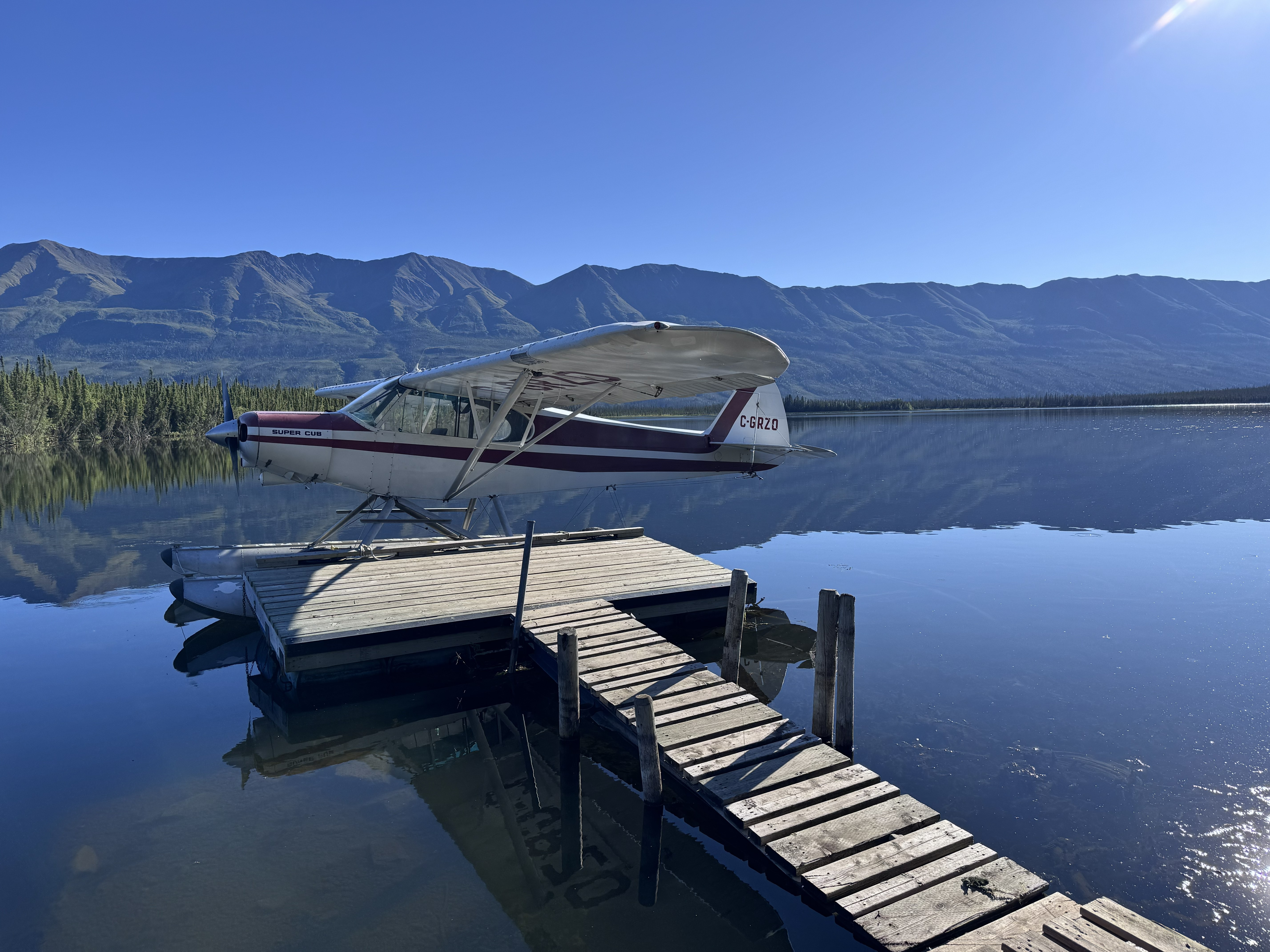
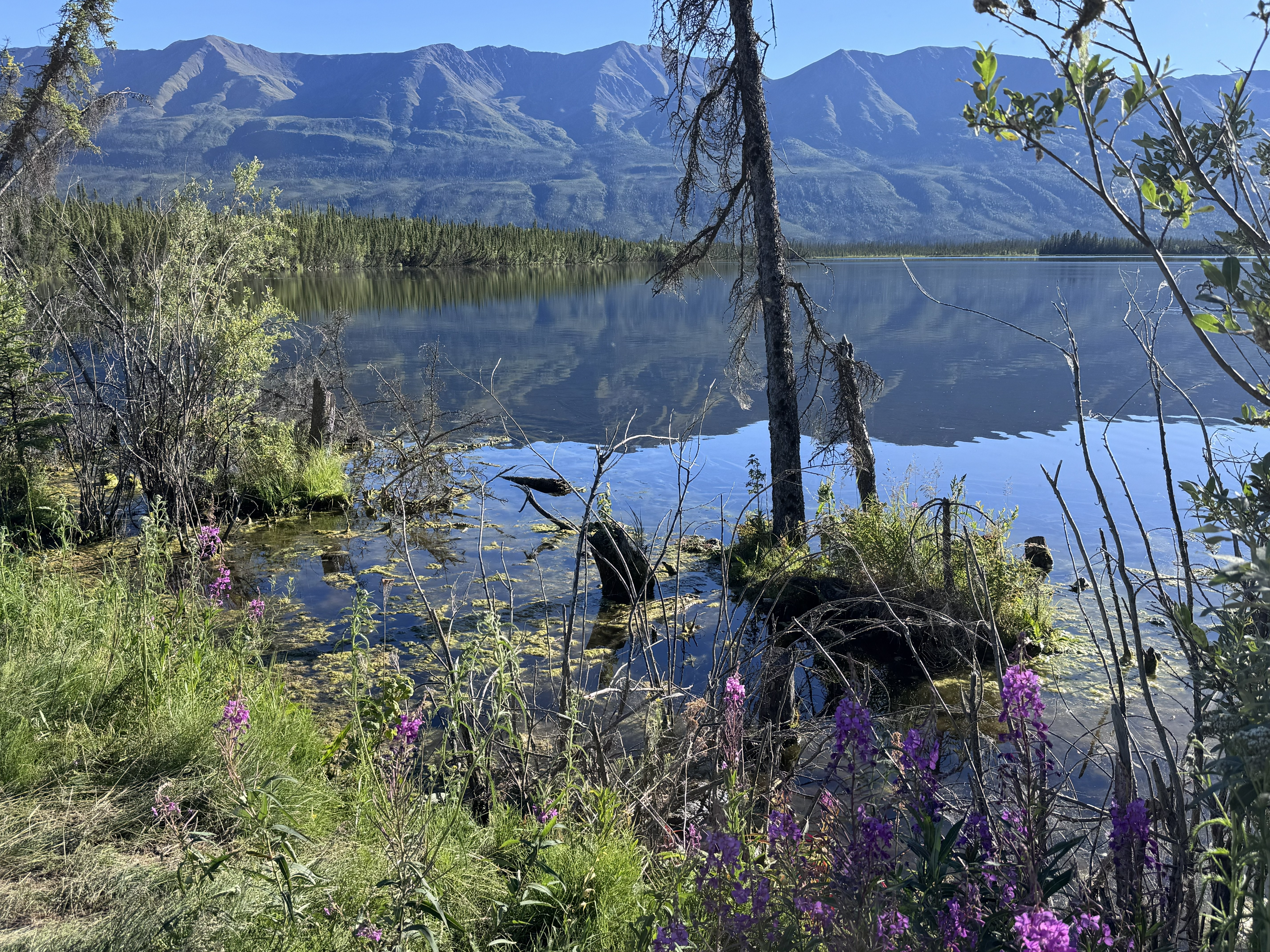
Not far beyond Beaver Creek, we stopped at Pickhandle Lake, a quiet roadside lake surrounded by boreal forest and low mountain ridges. The water was calm enough to mirror the landscape, and a small floatplane resting at the dock made the scene feel distinctly northern.
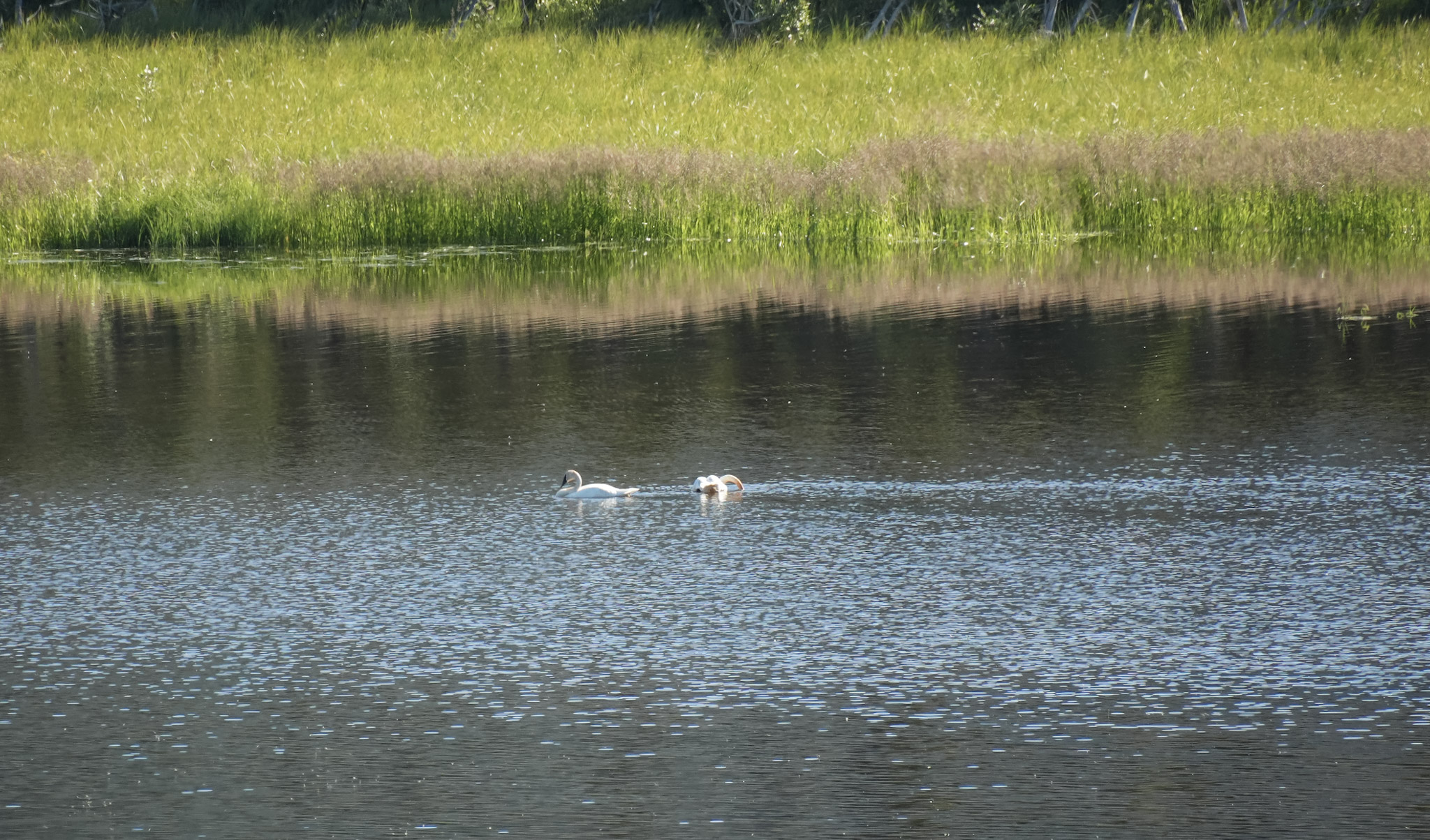
Interpretive signs revealed that Pickhandle Lake lies within the Shakwak Trench, an important migration corridor used by birds traveling between Alaska and the Yukon. Its wetlands, lakes, and river valleys provide habitat for ducks, geese, swans, and other species moving through the region.
The signs also introduced a much older human story. Known as Chetthël Chì in Southern Tutchone, the area was historically a trading place for several First Nations. Long before the Alaska Highway crossed this landscape, networks of travel and trade linked communities across great distances, moving fish oil, furs, copper, tools, and other goods between the coast and interior.
What first looked like a peaceful roadside lake was also part of a much larger network of movement—wildlife following ancient migration corridors and people traveling routes that had connected this region for generations.
After a short walk along the shoreline, we continued east toward Kluane Lake.
A Night Beside Kluane Lake
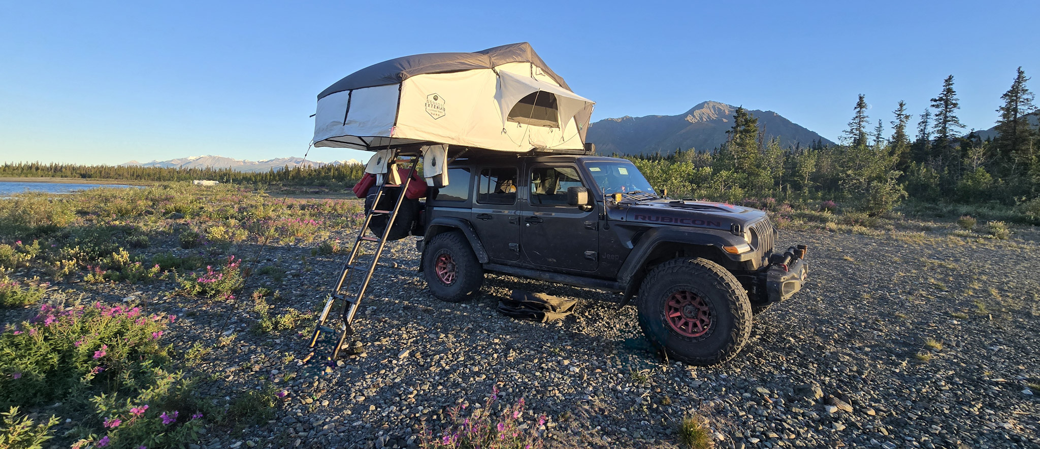
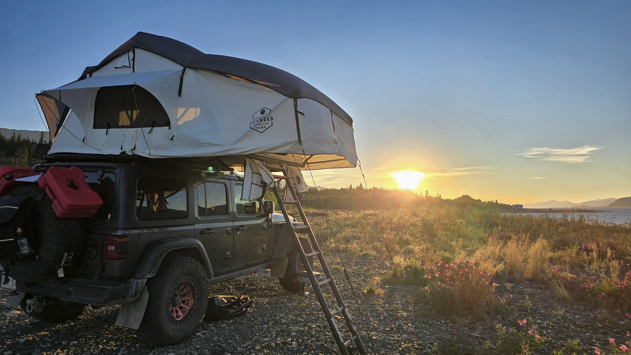
By evening, the Alaska Highway brought us to Kluane Lake, where we found a place to camp along its rocky shoreline. After a day that had begun beside Grizzly Lake in Alaska, carried us deep into Wrangell–St. Elias, and then across an international border, it felt good to finally unfold the rooftop tent and stay in one place.
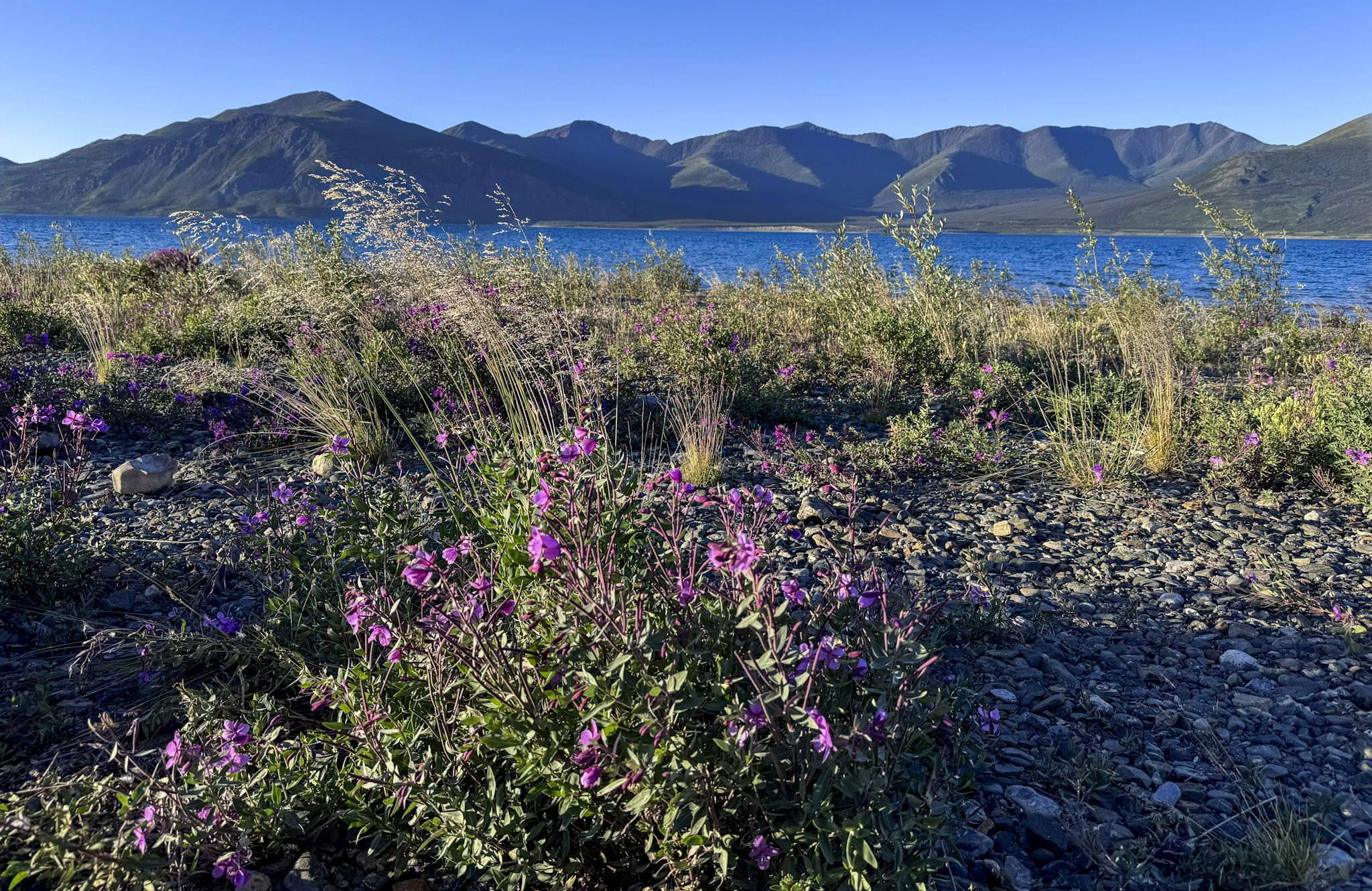
Our campsite was wonderfully simple—the Jeep, a broad sweep of gravel, patches of fireweed, and blue water stretching toward the mountains. Just west of the lake, Kluane National Park and Reserve covers more than 20,000 square kilometres of southwest Yukon, protecting some of Canada’s largest mountains and most extensive icefields. Even from camp, that immense mountain country felt close.
After the tidewater glacier of Aialik Bay and our walk toward Exit Glacier the previous day, Kluane offered yet another version of glacier country. Here, the ice was farther away, tucked among the mountains beyond the lake, but still part of the landscape shaping this corner of the Yukon.
The wind picked up as evening settled over the shoreline, tugging at the rooftop tent and sweeping steadily across the exposed camp. It was noticeable, but hardly enough to chase us inside. The low sun warmed the gravel and fireweed with golden light while the mountains across the lake slowly slipped into shadow.
After ten days and more than three thousand miles in Alaska, our first evening in the Yukon felt like a natural transition. We had crossed into a new place, but the remote roads, mountains, and wide-open landscapes that had defined the journey were still very much with us.
For our first night in the Yukon, Kluane Lake was a beautiful place to land.
From My Field Journal
July 19, 2026 · Evening · Kluane Lake, Yukon
Today we said goodbye to Alaska. Ten days, three national parks, and roughly 3,040 miles—and somehow it still feels like there was so much more we could have explored.
Wrangell–St. Elias gave us one final Alaska adventure: the rough Nabesna Road, creek crossings, mosquitoes at the Rambler Mine, old buildings and mining equipment slowly disappearing back into the mountain, and those incredible views across the Nabesna River toward the Nutzotin Mountains. Watching the ptarmigans suddenly take flight on our way out felt like a perfect little farewell.
Crossing into the Yukon was bittersweet, but exciting too. I have never been here before, and tonight we are camped beside Kluane Lake with the mountains around us, fireweed along the shore, and the wind moving across the water.
Alaska was unforgettable. But tonight, for the first time, the adventure feels like it has turned another page.
EXPEDITION SNAPSHOT
THE ROUTE Gakona → Wrangell–St. Elias National Park → Beaver Creek → Pickhandle Lake → Kluane Lake
ROAD TRAVELED Tok Cut-Off Highway, Nabesna Road, and the Alaska Highway
NATIONAL PARK Wrangell–St. Elias National Park
LANDSCAPE Mountain ranges, boreal forest, creek crossings, the Nabesna River valley, Yukon wetlands, and the broad shoreline of Kluane Lake
TRAIL & HISTORY Rambler Mine — a rugged hike to the remains of a historic mineral prospect, with old structures and mining equipment still scattered along the mountainside
WILDLIFE Ptarmigans, ducks, and Trumpeter Swans
STAYED Lakeside camp at Kluane Lake, Yukon
MEMORABLE MOMENTS Driving the rugged Nabesna Road, exploring the Rambler Mine, watching ptarmigans take flight, crossing into the Yukon for the first time, and camping beside Kluane Lake
CHAPTER HIGHLIGHT Alaska gave us one final wild road before the journey turned north-country memories into a brand-new chapter in the Yukon.
Next Chapter
From Kluane Lake, the road would carry us deeper into the Yukon toward Whitehorse, where we would trade remote highways for a little city time before turning south again.
Ahead waited the Cassiar Highway, one of the most scenic and isolated roads of the trip, along with a stop in Jade City—a tiny northern community built around one of British Columbia’s most famous natural treasures.
Next: Whitehorse, the Cassiar Highway, and the road south through Jade Country.






Leave a Reply