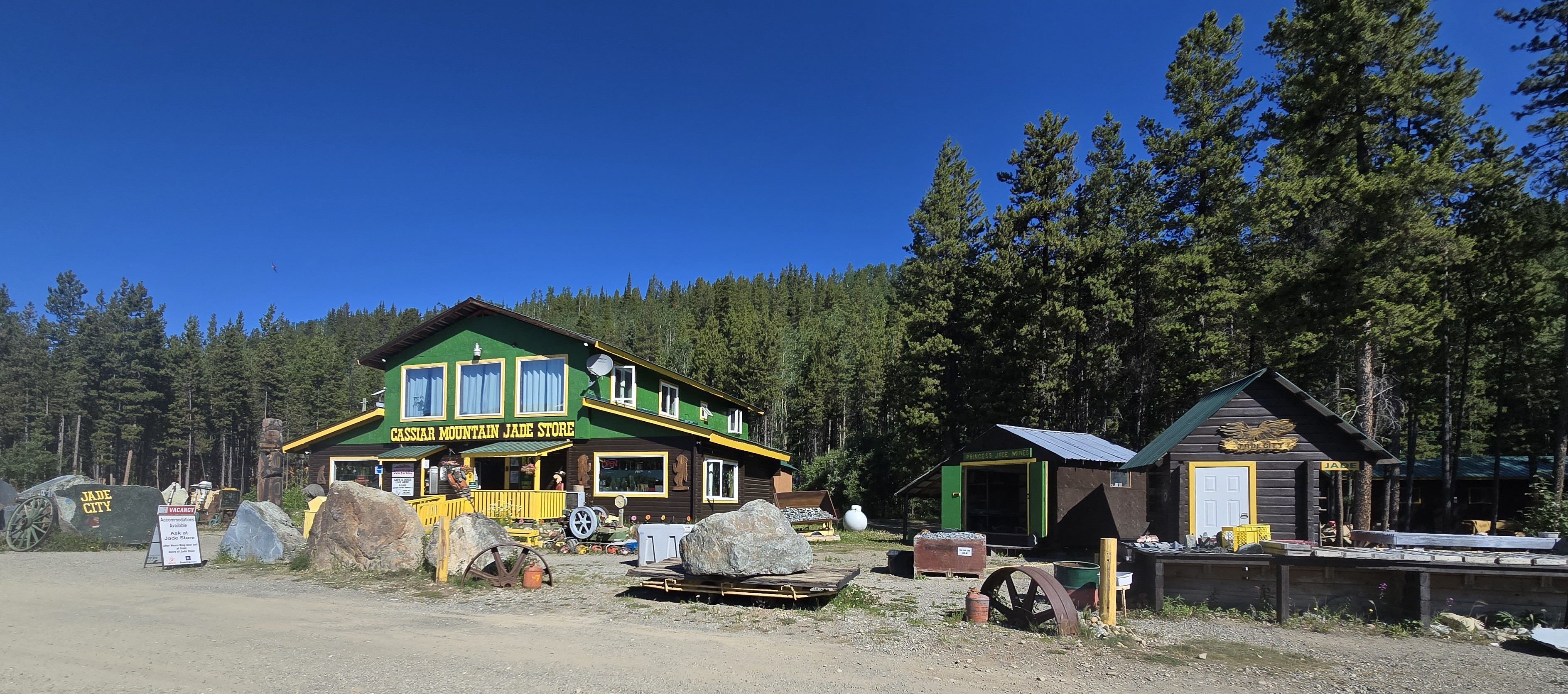
Morning gave us the chance to properly explore Jade City after our late arrival the night before. In the bright northern sun, the huge pieces of jade scattered around the Cassiar Mountain Jade Store were impossible to miss, while inside, the same stone appeared transformed into carvings, jewelry, sculptures, and other works of art.
Jade City grew from the region’s long connection to nephrite jade and the broader mining history of the Cassiar area. The nearby Cassiar mine operated for decades, and jade recovered from the surrounding rock eventually became one of the region’s more enduring resources after the larger mining operation closed.
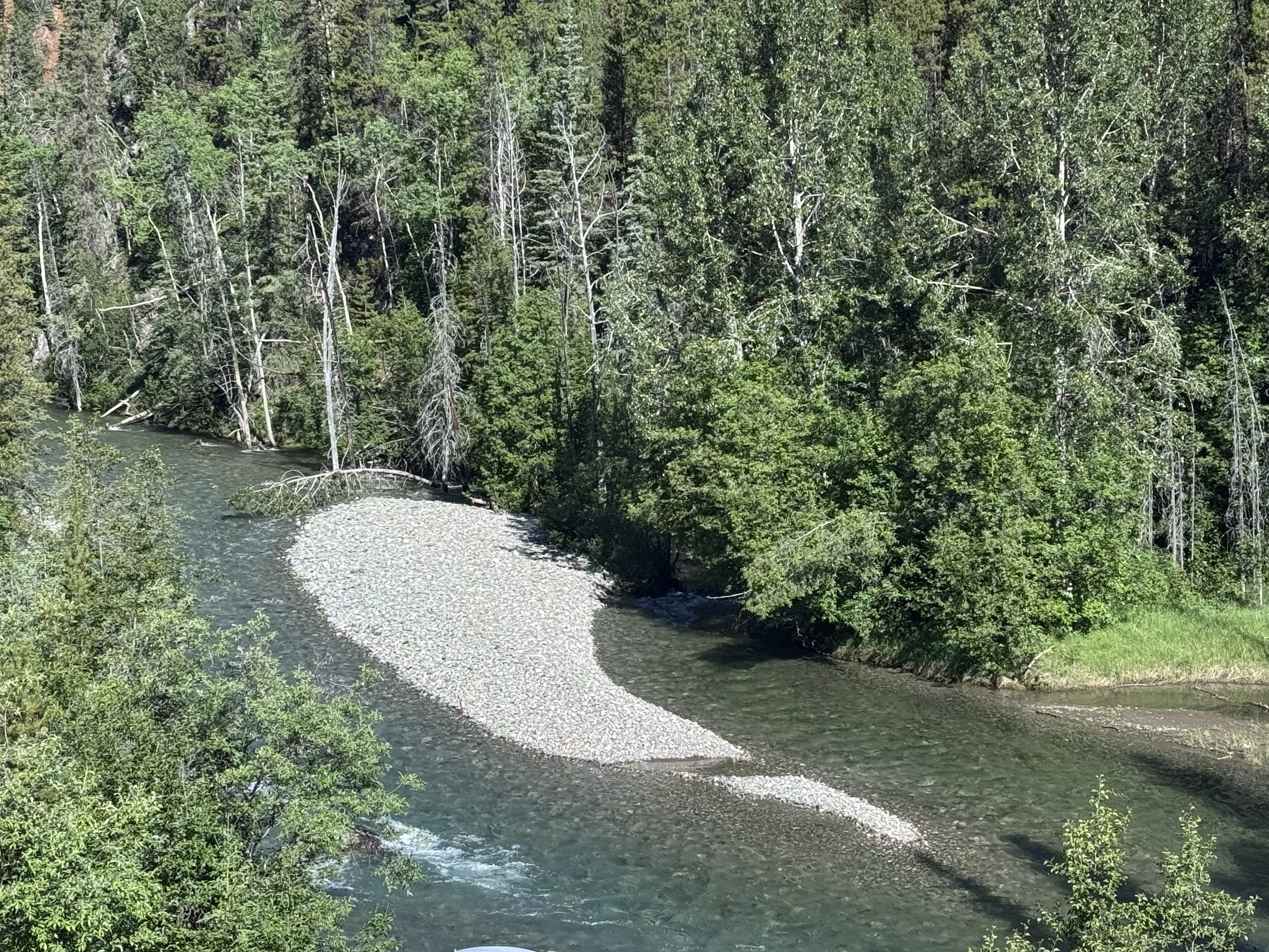
Just beyond town, Troutline Creek wound through the forest in beautiful shades of turquoise, its clear water and pale gravel bars seeming almost perfectly suited to a place called Jade City. It was one last quiet look at this unusual little community before we returned to the Cassiar Highway and continued south.
Salmon Glacier, Hyder Alaska, Stewart British Columbia, Stewart-Cassiar Highway, Glacier Highway
A Quiet Pause at Dease Lake
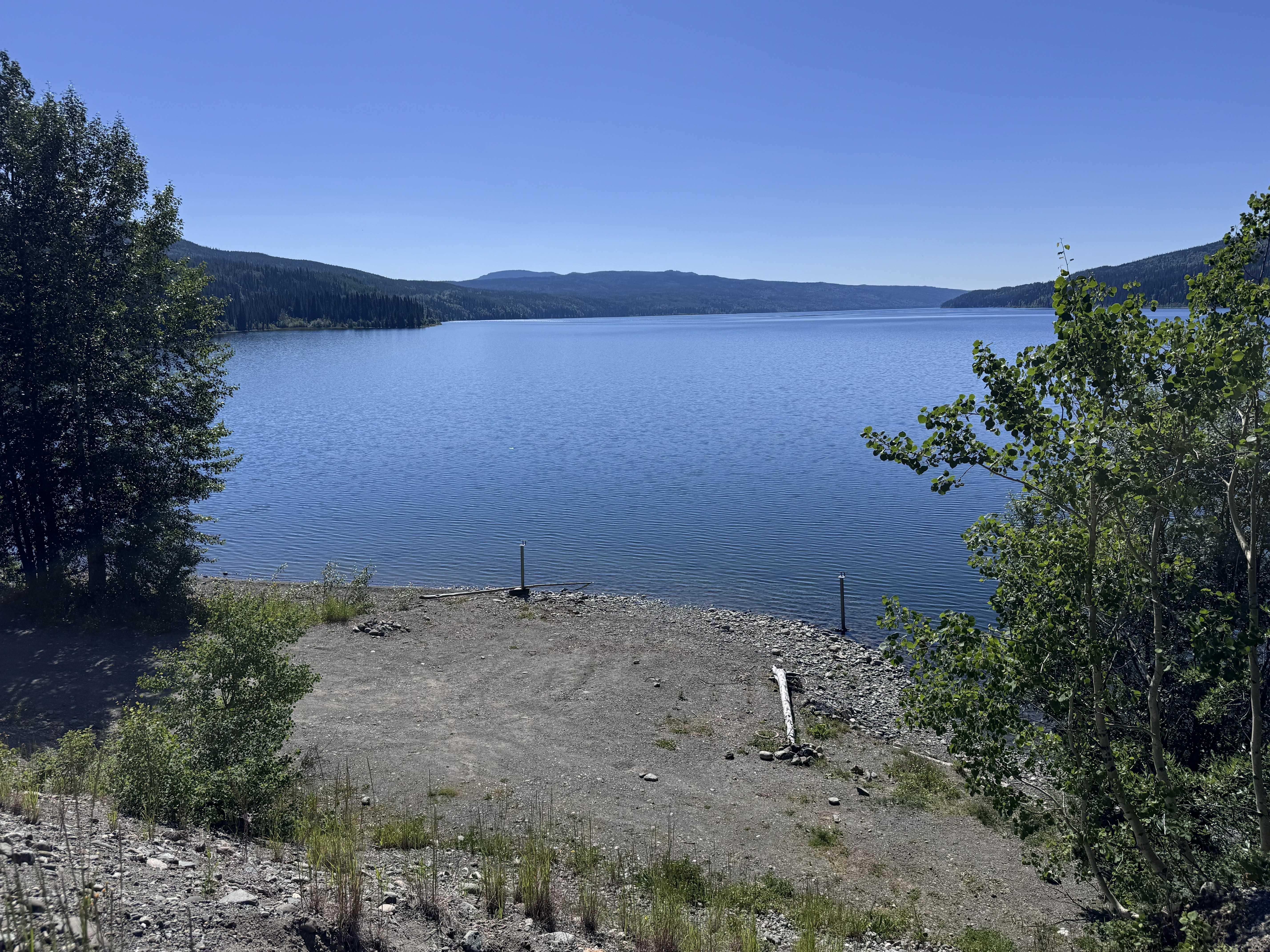
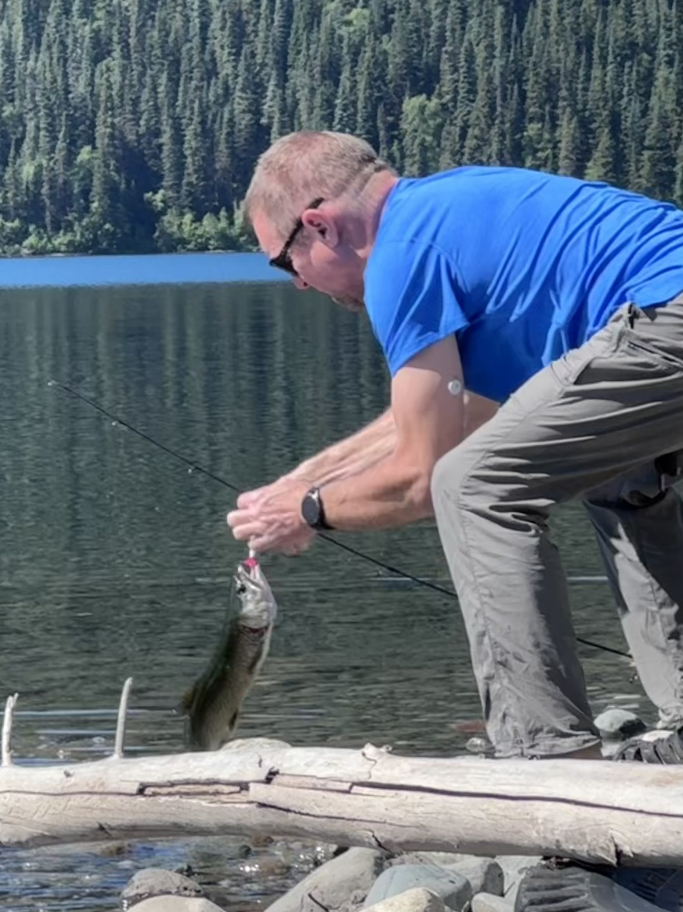
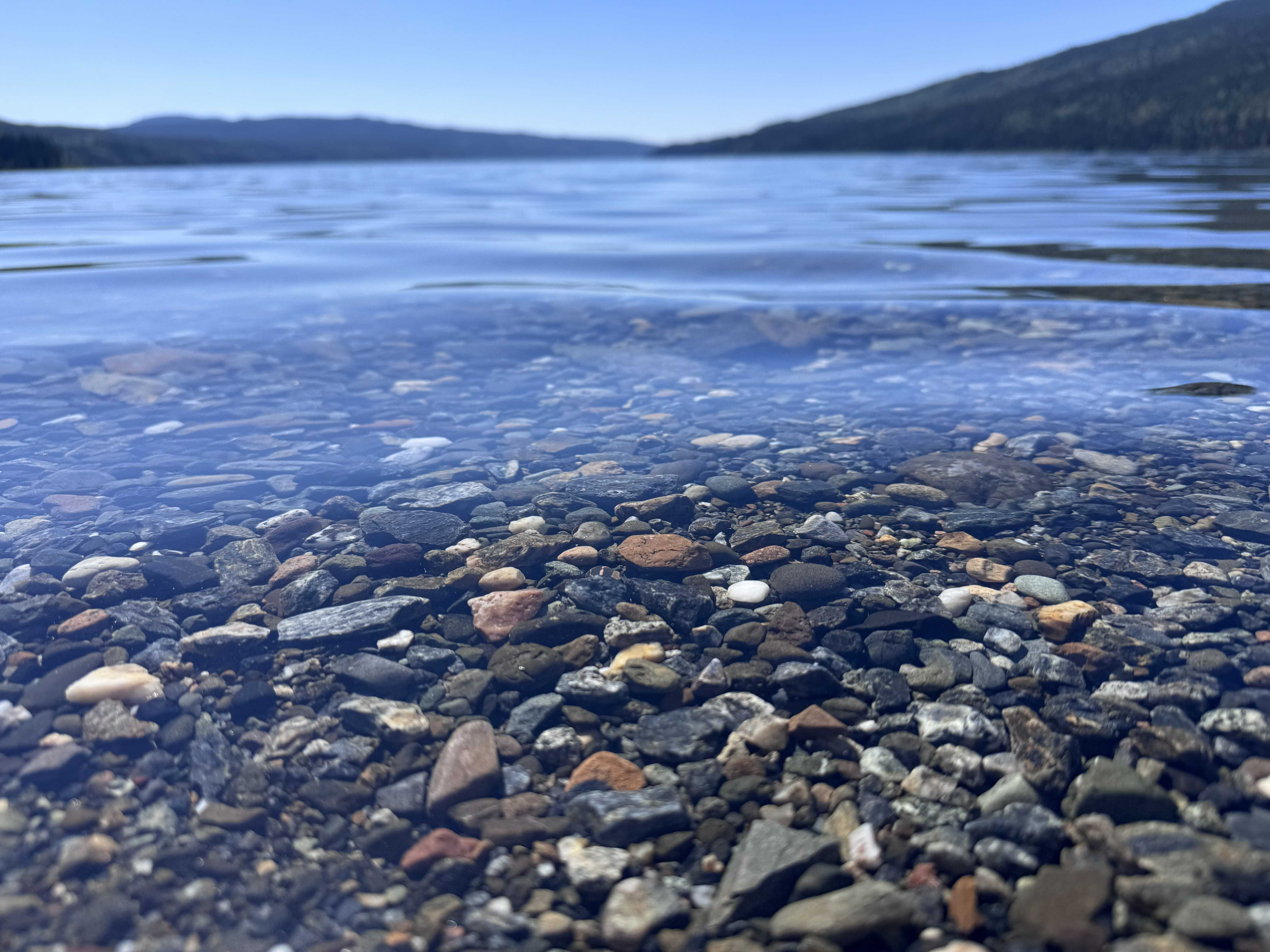
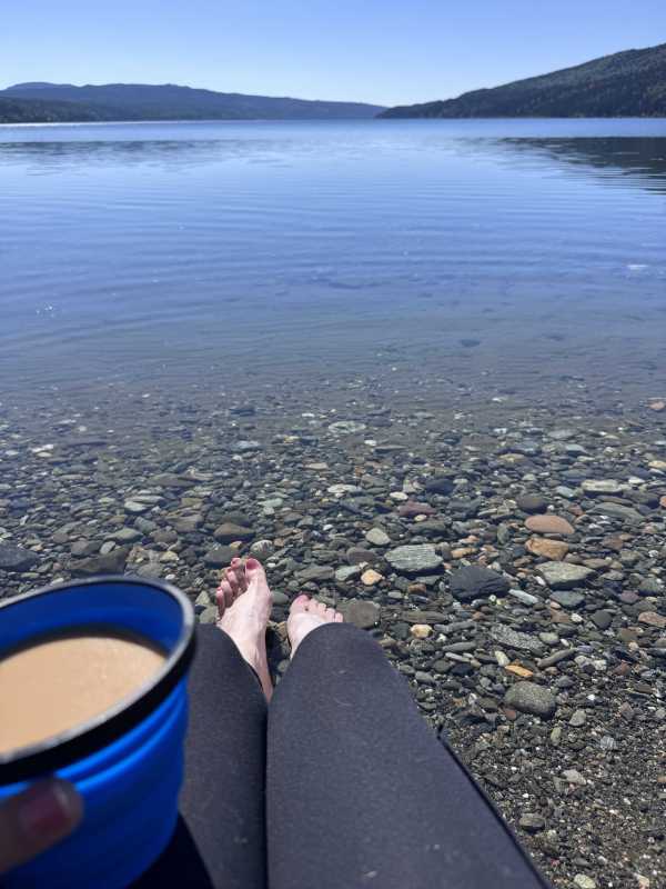
The Cassiar Highway carried us deeper into northern British Columbia, through long stretches of forest broken by dark blue lakes and snow-streaked mountains. At Dease Lake, we stopped long enough to slow the day down. The water was so clear that the rounded stones beneath the surface were visible along the shoreline. I pulled out a chair, made myself a cup of coffee, and sat with my feet in the cold water while Bill grabbed his fishing pole.
He had a trout within about five minutes, which made the whole scene even better. For a little while, there was no reason to rush—just clear water, a quiet shoreline, coffee in hand, and Bill casting from the edge of the lake. Eventually, we packed up and continued south, where the Cassiar carried us past Kinaskan Lake and into increasingly rugged mountain country, with long blue stretches of water framed by forested slopes and lingering snow.
The Road Toward the Coast
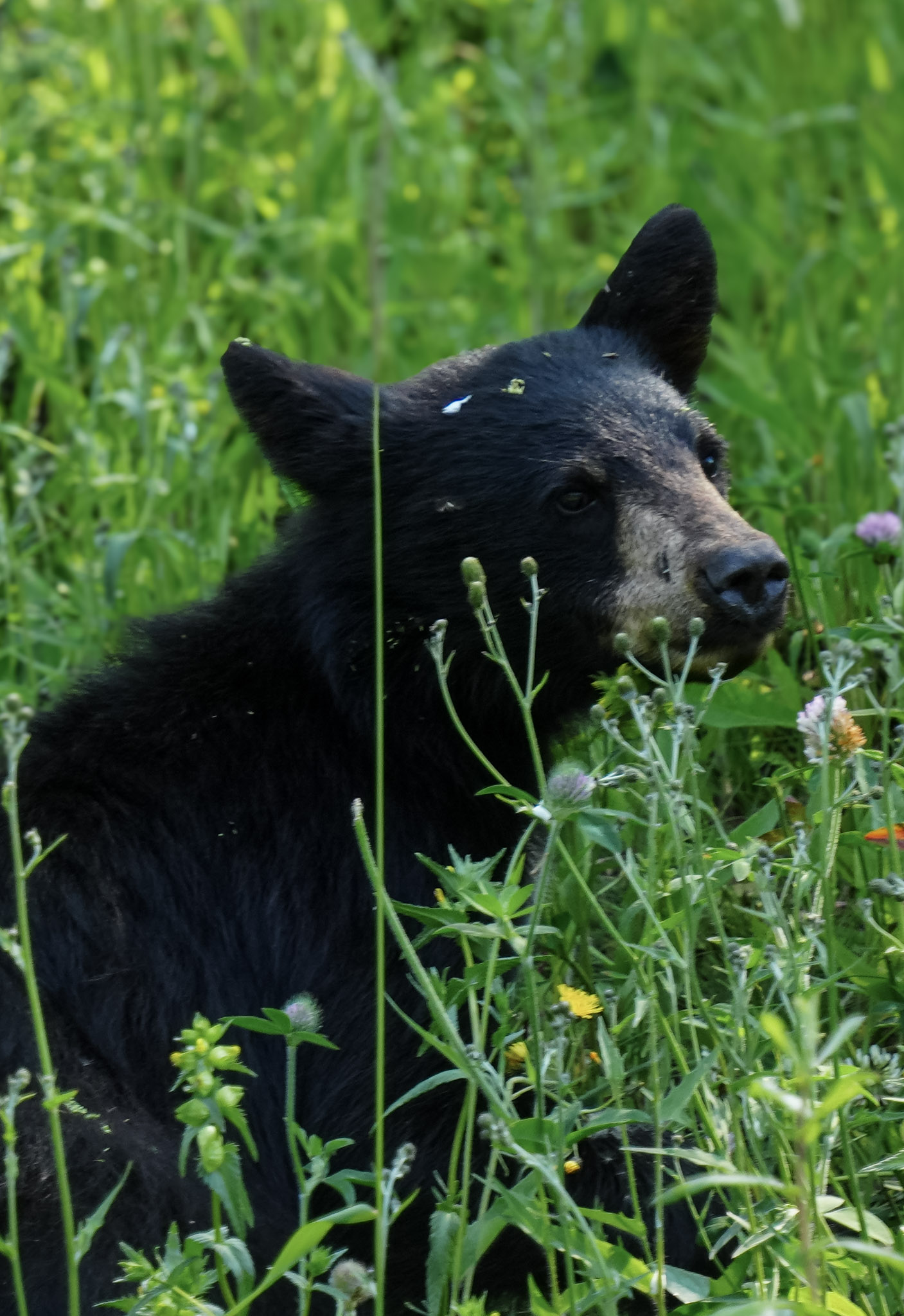
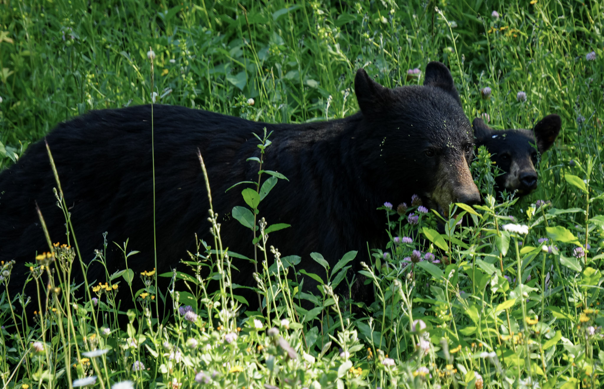
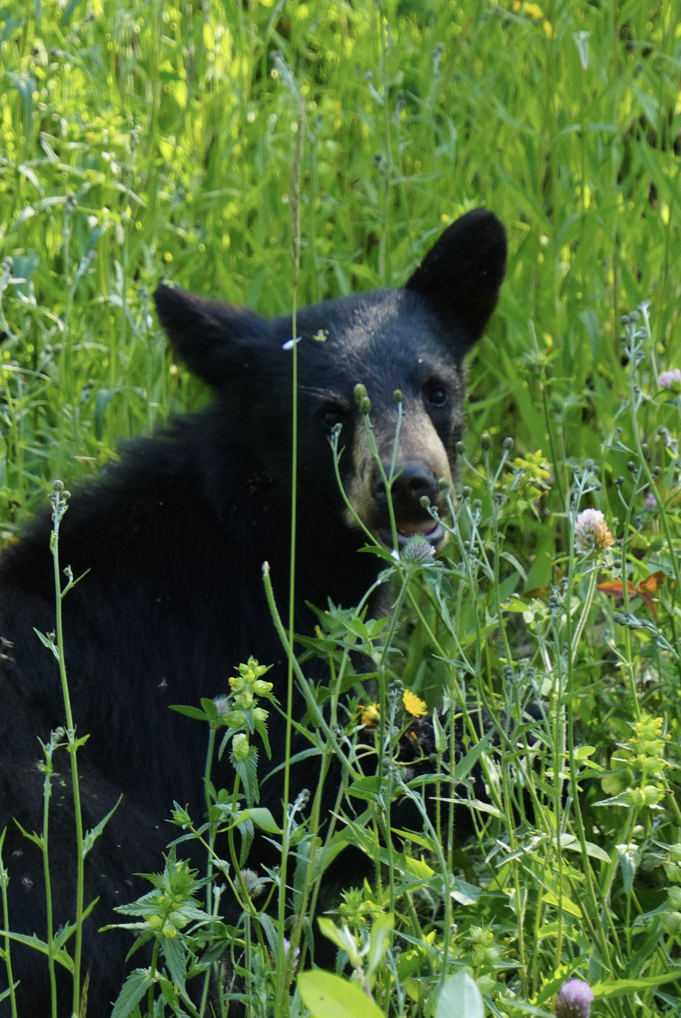
As we approached Meziadin Junction, the Cassiar carried us into increasingly rugged country. Along the way, we spotted another black bear family—a mother and cub feeding quietly among roadside wildflowers, almost disappearing into the green except for their dark coats. Wildlife had become such a constant part of this journey that every bend still seemed worth watching.
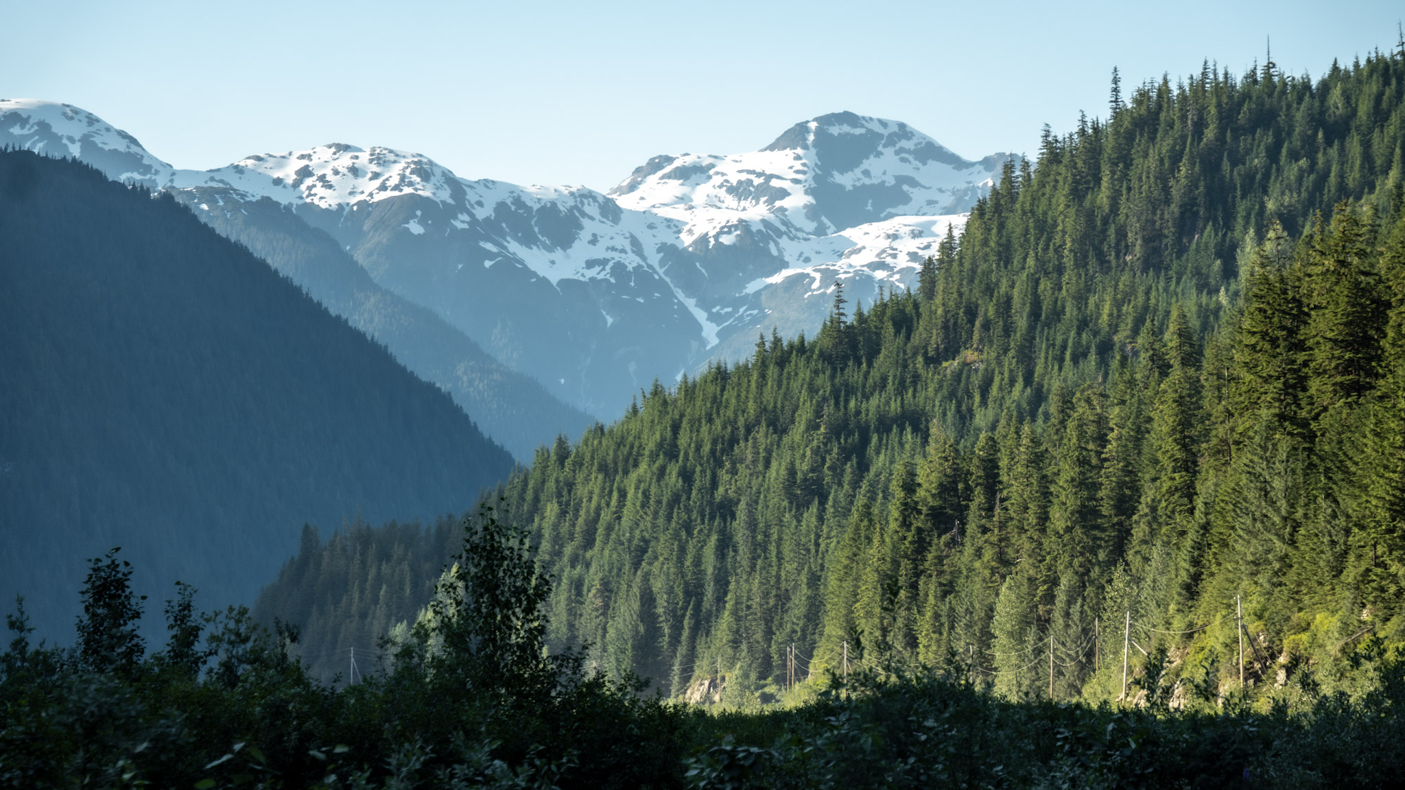
At Meziadin Junction, we left the Cassiar Highway and turned west onto Highway 37A—the Glacier Highway—toward Stewart. The change was immediate. The road narrowed into a steep mountain corridor, with snowfields spread across the upper slopes and walls of rock rising sharply on both sides. It felt as though we had left the broad interior landscape behind and entered a much tighter, more dramatic world.
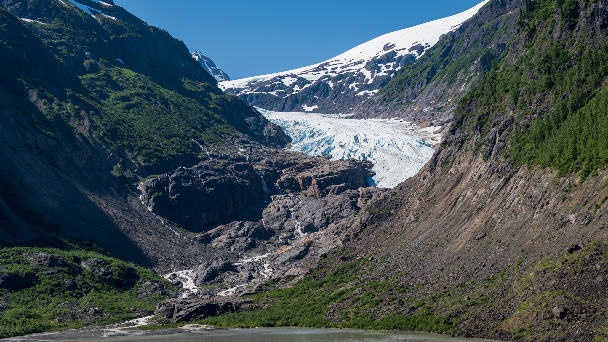
Not far into the drive, Bear Glacier came into view, its blue-white ice spilling down between dark rock walls toward the valley. From the highway, we could see the glacier’s crevassed surface and the contrast between brilliant ice, bare rock, and green slopes. After seeing glaciers from boats, trails, and distant viewpoints throughout the trip, this one felt different—woven directly into the drive itself.
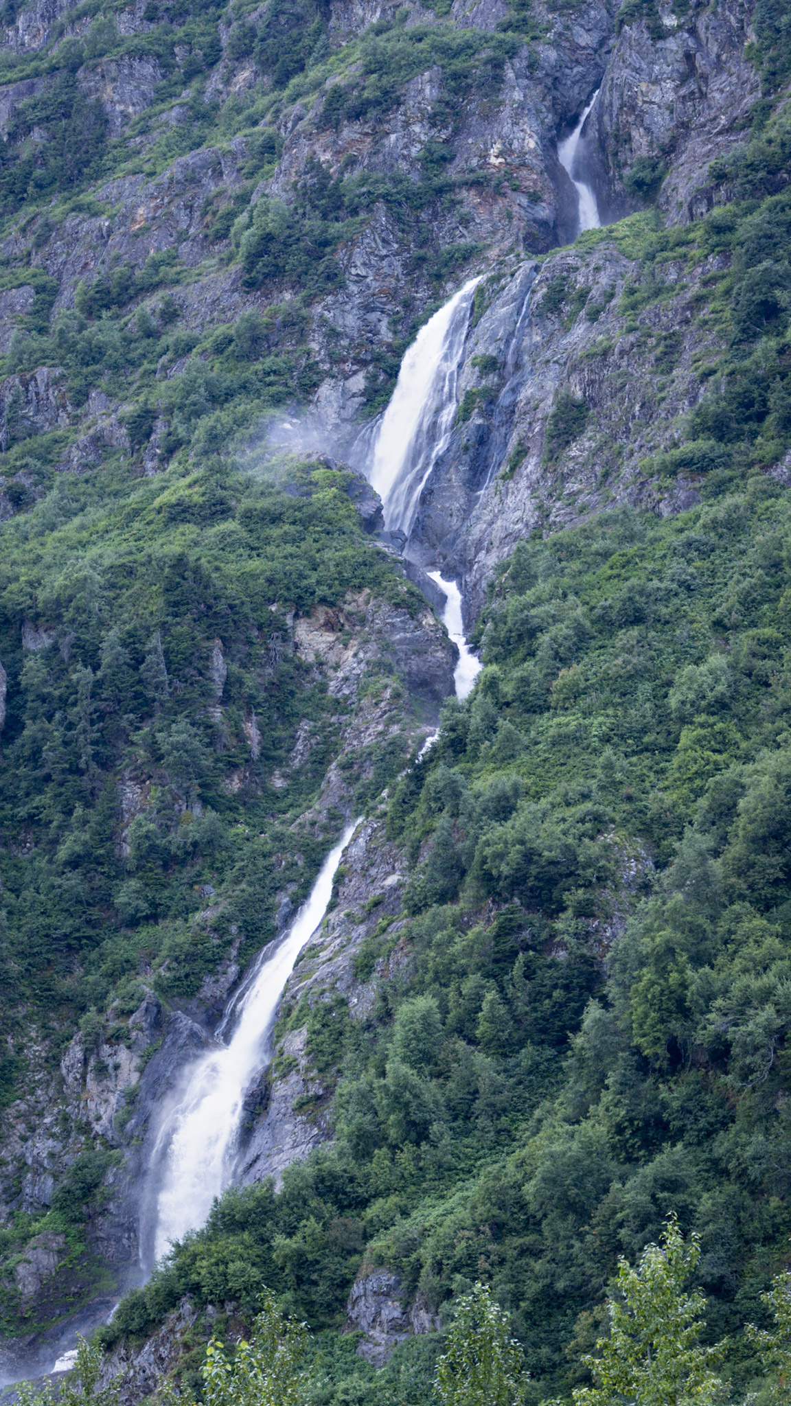
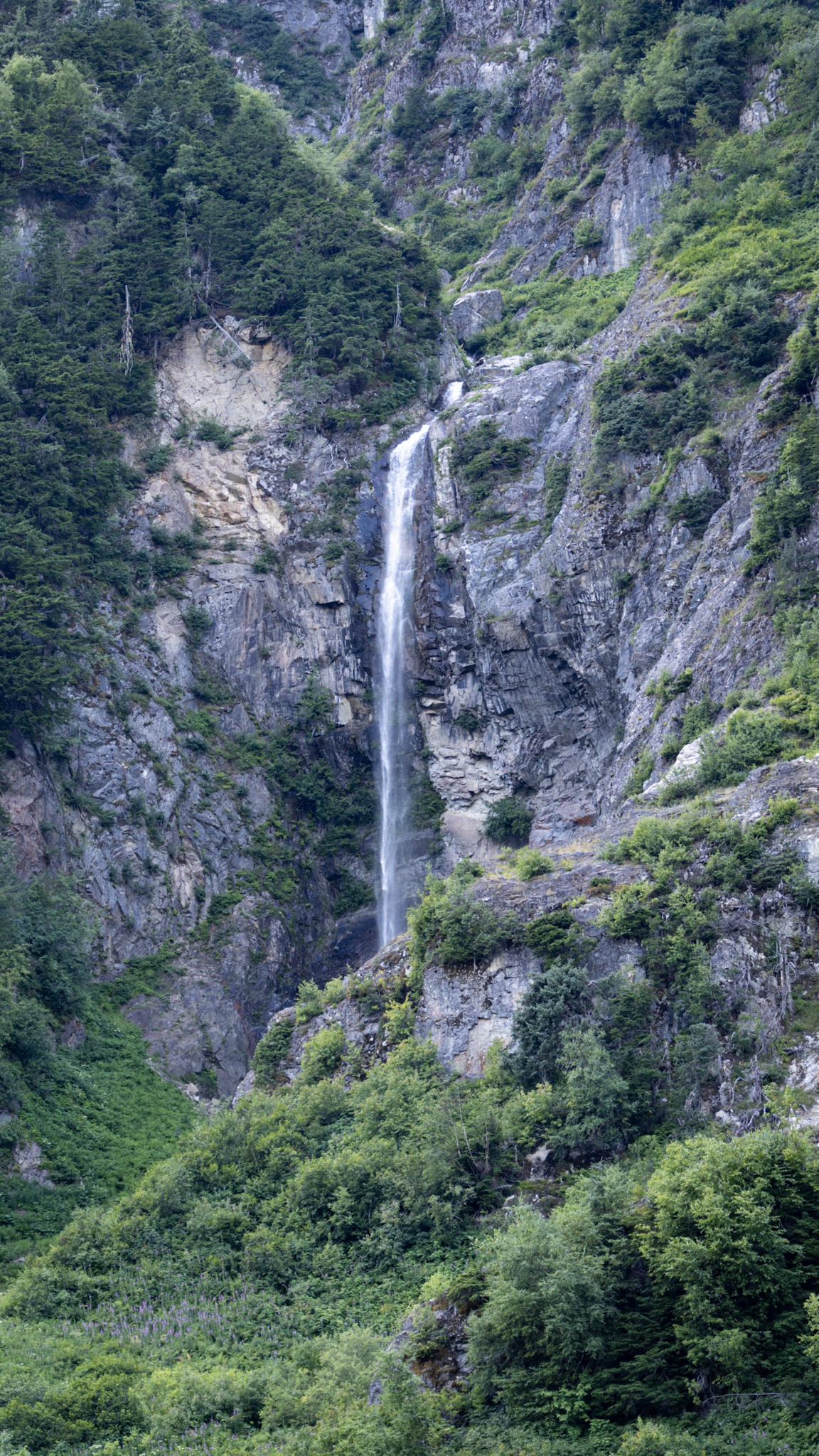
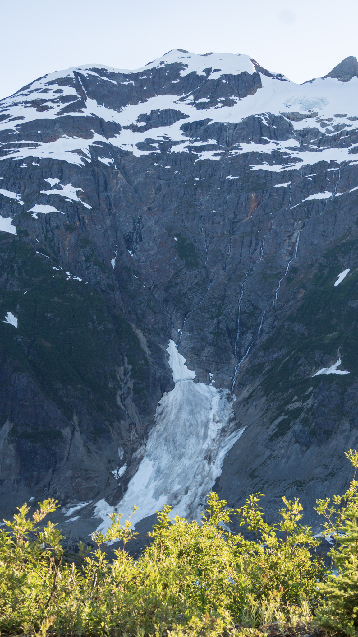
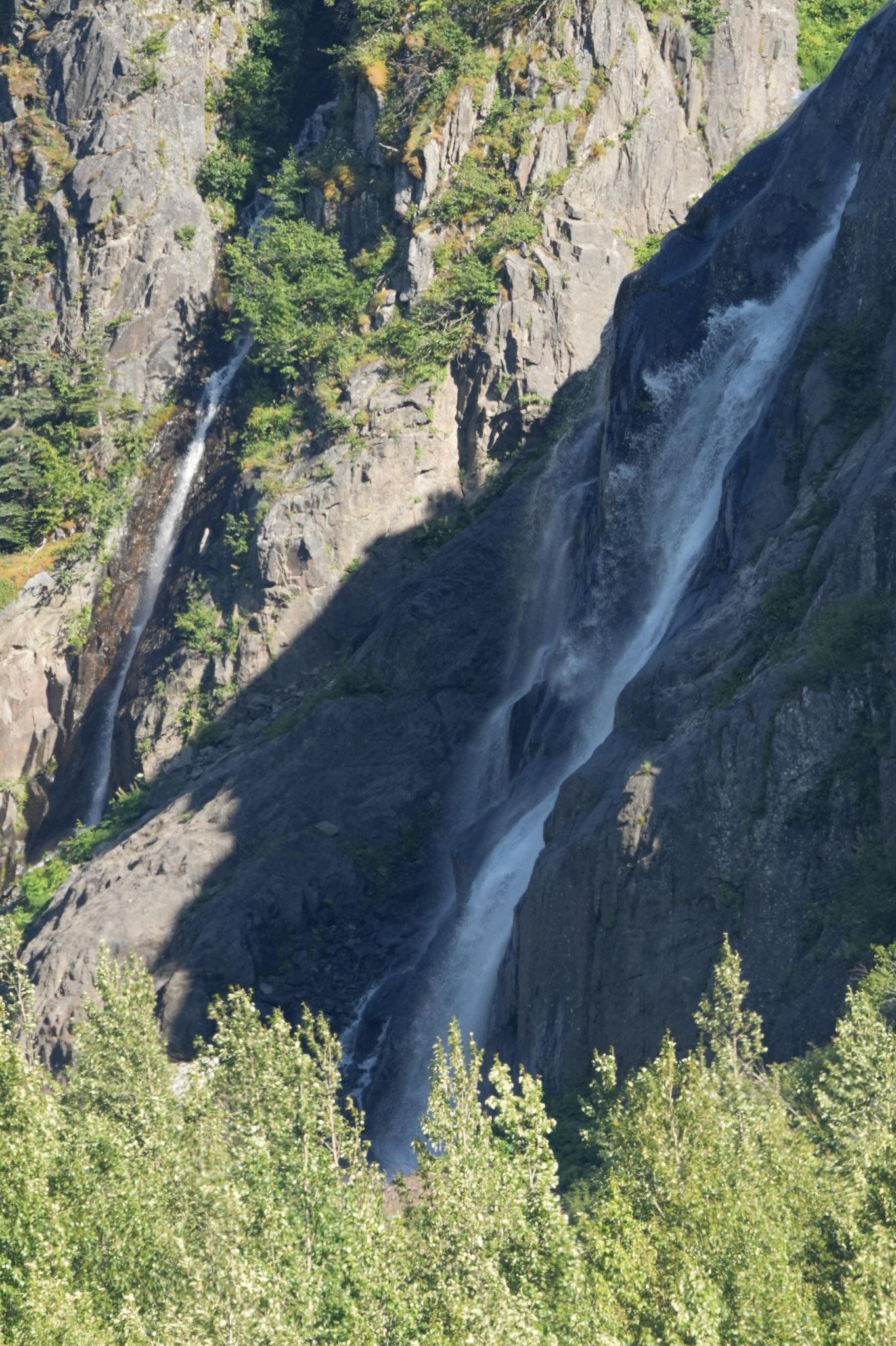
As we continued toward Stewart, water seemed to appear everywhere. Meltwater streamed from lingering snowfields, narrow falls dropped from high cliffs, and larger cascades tumbled down the mountains in long white ribbons. Some appeared as single silver threads against dark rock, while others spilled through several tiers before disappearing into the forest below. Every few miles seemed to reveal another waterfall, and somehow the next one always looked better than the last.
The farther we followed the Glacier Highway, the more the mountains pressed in around us. Between the glacier, the waterfalls, and the steep green slopes rising on both sides, the road seemed to pull us deeper toward the coast. By the time Stewart appeared ahead, it already felt like we had driven into an entirely different corner of the North.
Stewart at the End of the Fjord
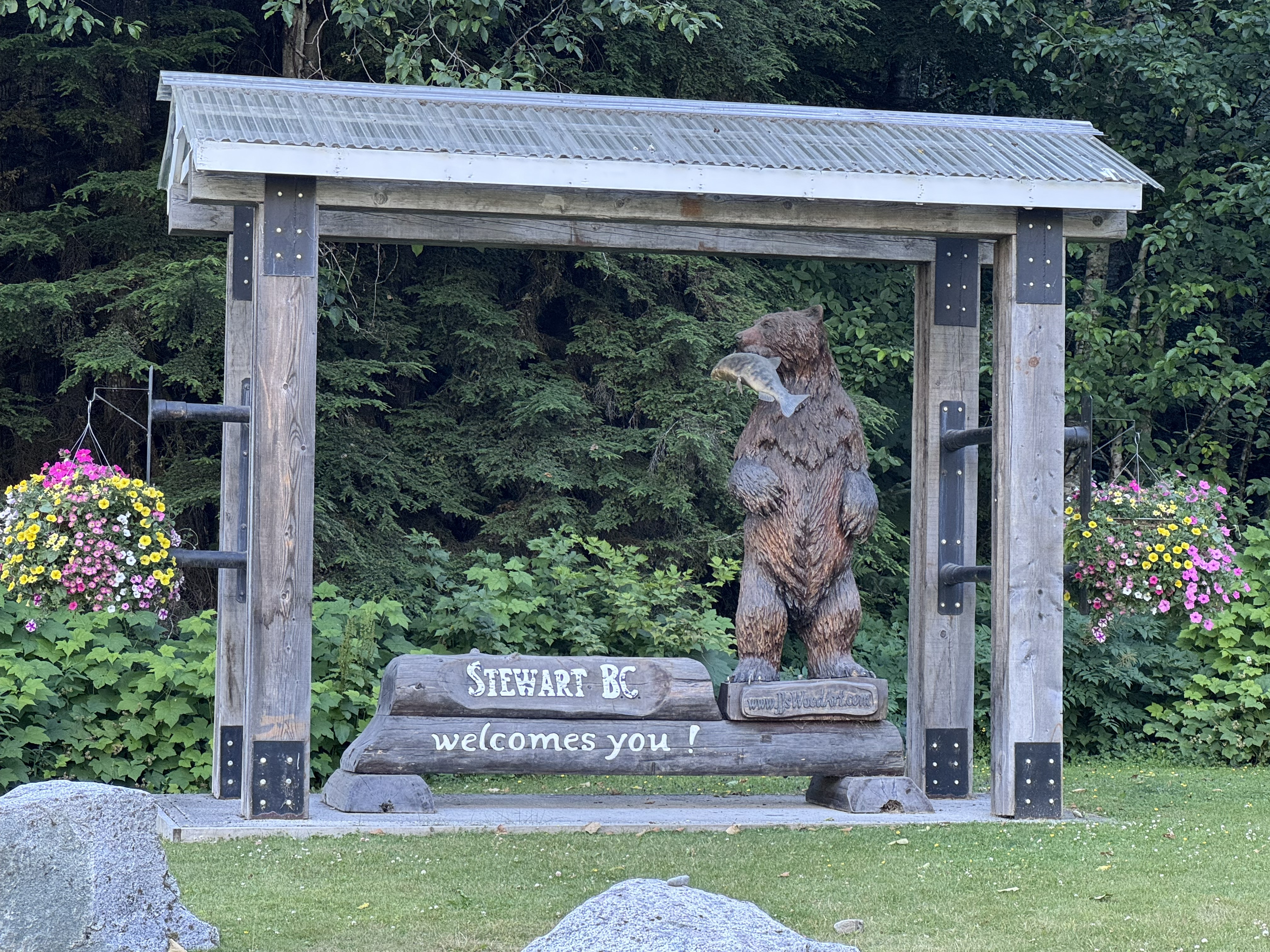
Eventually, the mountains opened just enough for Stewart to appear at the head of Portland Canal. After the narrow, waterfall-lined approach along the Glacier Highway, the town felt tucked into the landscape rather than separate from it, with steep mountains rising around the long fjord and the Cambria Icefields beyond.
This was our second port town of the trip, but it felt completely different from Seward. Stewart’s location at the end of the fjord has shaped the community since its beginnings in the early 1900s, when mining drove much of its growth and the town became an important base for nearby gold and silver operations.
We did not spend much time exploring Stewart that afternoon. We paused long enough to take in the town and the water stretching along Portland Canal, but our destination was only a couple of miles farther down the road—and, somewhat surprisingly, across an international border.
Surprise—Alaska Again
A few minutes beyond Stewart, we crossed the international boundary and found ourselves back in Alaska. There was something wonderfully strange about it. We had already said our emotional goodbye to the state, crossed into the Yukon, and begun working our way south through British Columbia. Yet here we were, entering Alaska again from Canada by the only road that reaches this isolated corner.
Hyder sits at the head of Portland Canal, separated from the rest of Alaska’s highway system and accessible by road only through Stewart. The tiny community grew during the mining boom of the early twentieth century, when it served as a port and supply point for prospectors and nearby mines. Today, with only a small year-round population, it is often described as one of Alaska’s friendliest ghost towns.
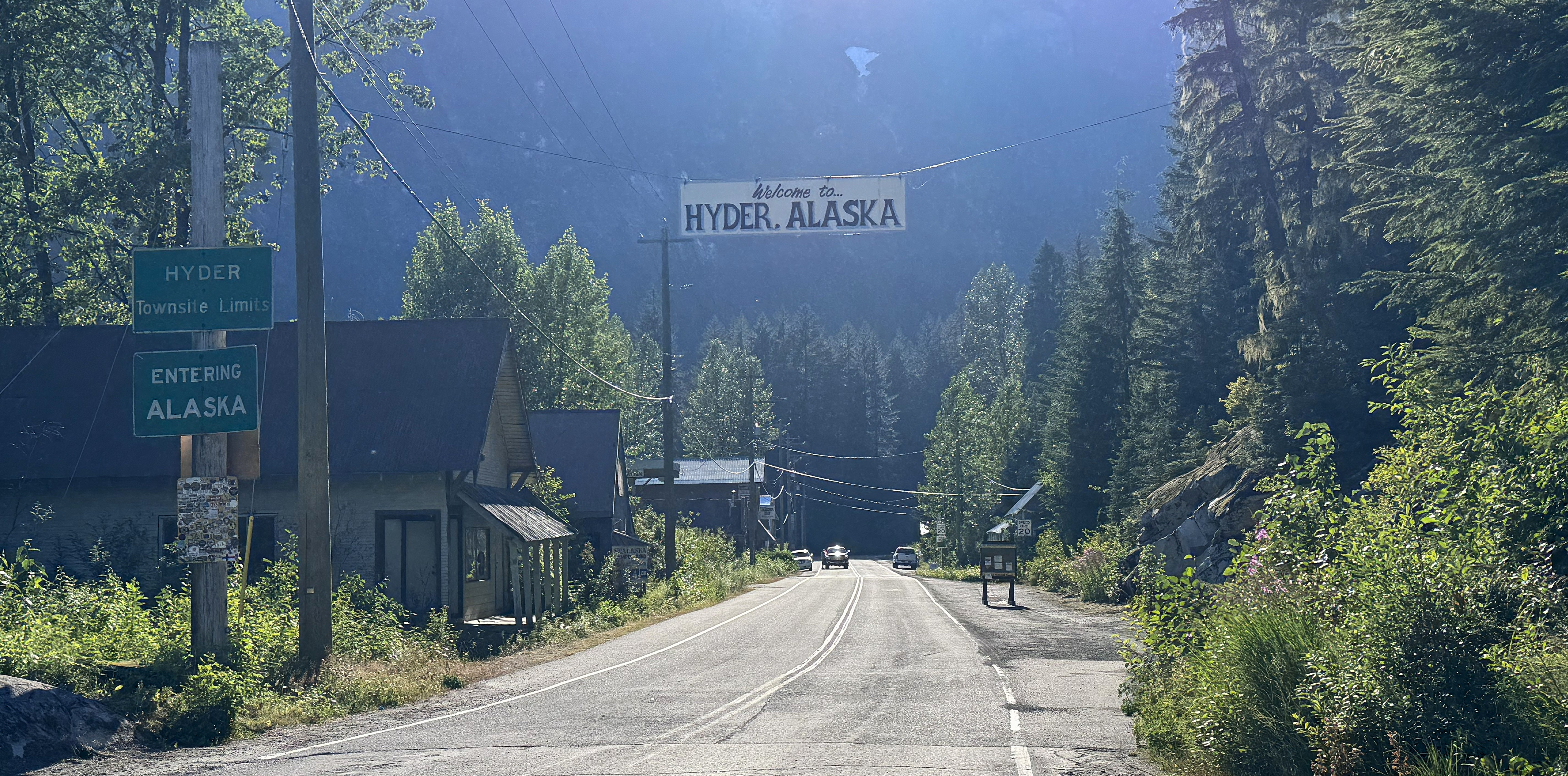
Even crossing the border felt unusual. There was no U.S. inspection station stopping traffic as we entered from Stewart, so our return to Alaska felt almost surprisingly casual. The simple roadside signs announcing “Entering Alaska” and “Welcome to Hyder” were enough to make the moment feel official.
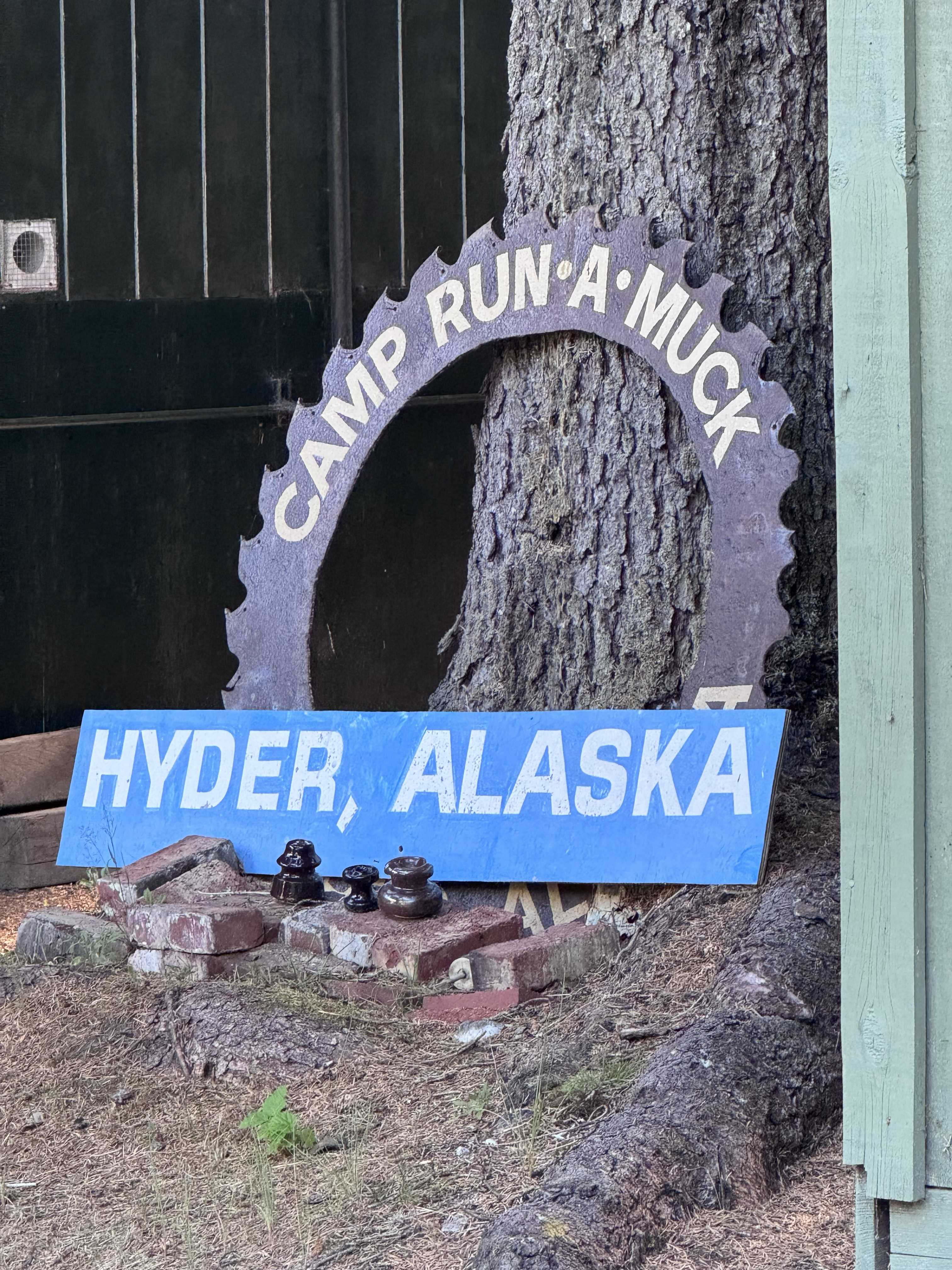
We found a site at Eagle Shadow Campground beneath Mount Hinckley and decided that one more night in Alaska was exactly what we wanted. The weather made the decision even easier. Instead of the cold rain we had experienced farther north and along the coast, Hyder greeted us with temperatures around 75°F. Forest surrounded the campground, mountains rose steeply on every side, and it felt like we had tucked ourselves into a hidden corner of the state.
We could have easily settled in for the evening, but there was still one more road we wanted to follow.
Into Fish Creek
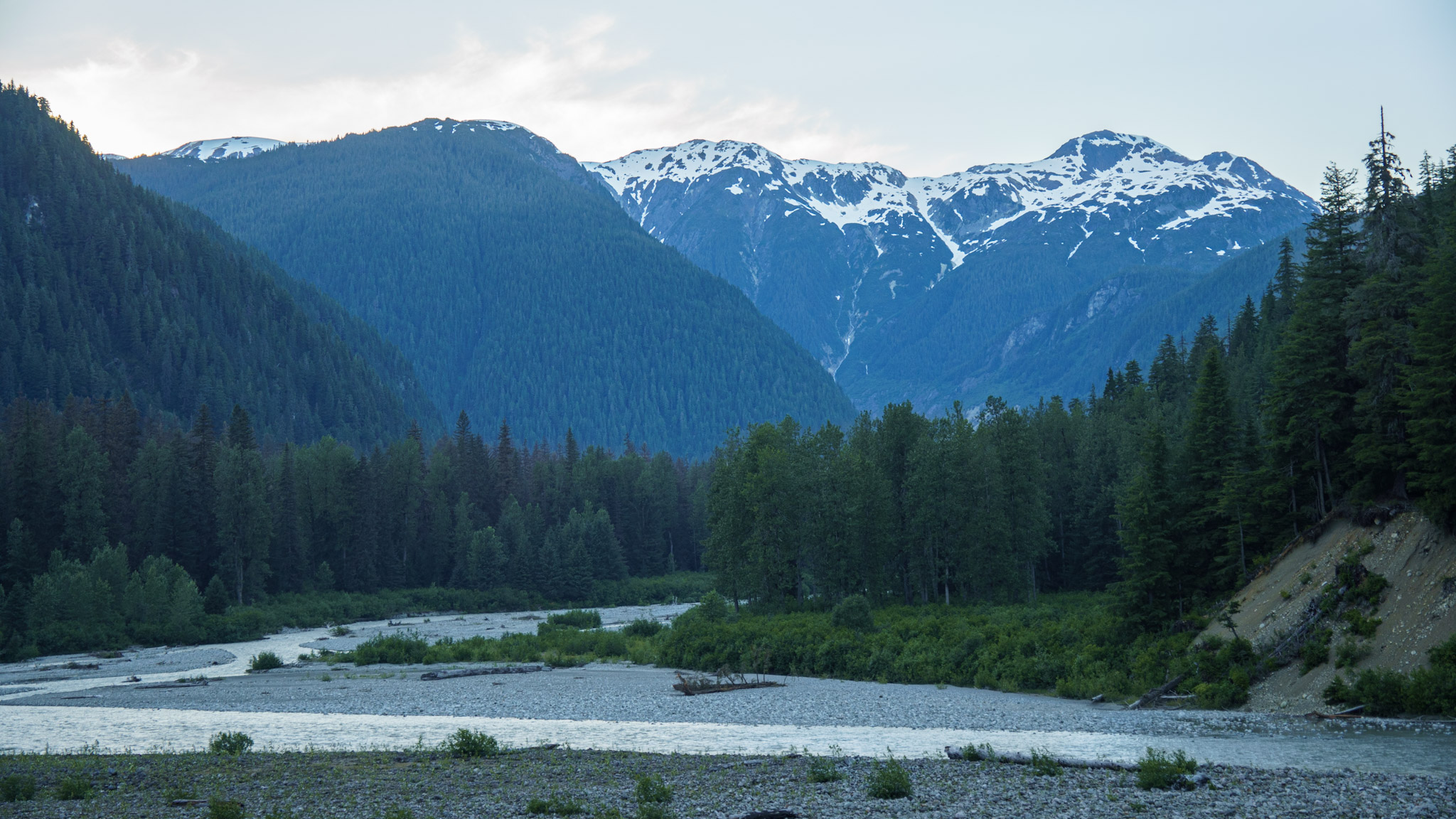
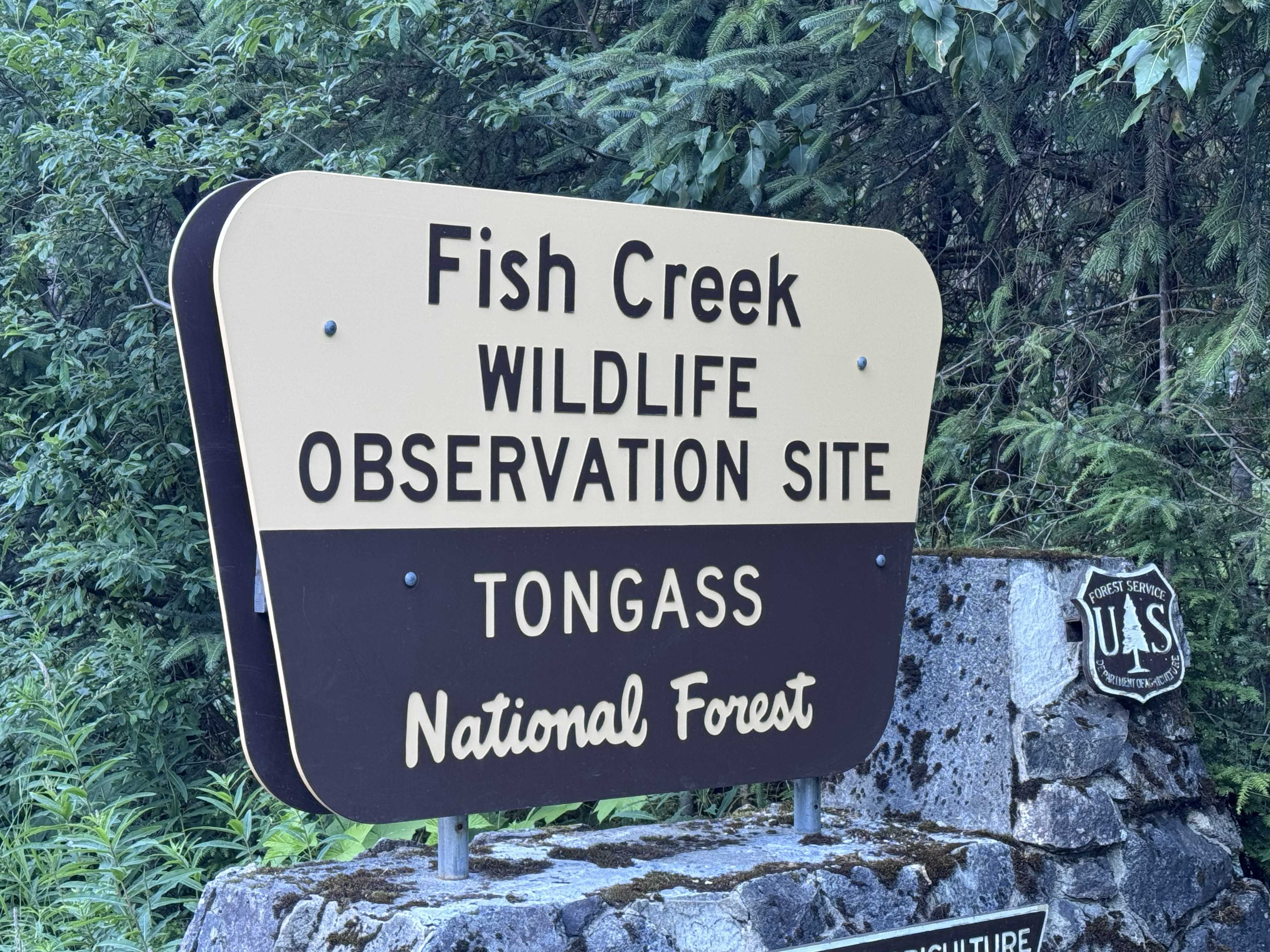
Beyond Hyder, the road entered the Tongass National Forest and followed the Salmon River valley toward Fish Creek. Dense forest climbed the lower slopes, snow-streaked mountains rose sharply above the valley, and the braided Salmon River wound below in pale, silvery channels. Even before we reached the wildlife observation area, the road felt like it was carrying us deeper into a remarkably wild corner of Southeast Alaska.
Fish Creek is well known for its wildlife viewing, particularly during salmon season, and we had hoped to stop at the observation site to watch for bears. Only a few days before our arrival, however, unusually severe flooding had torn through the area and washed out the observation bridge. The damage was impossible to miss: access was taped off, part of the crossing was simply gone, and pieces of the deck could be seen downstream.
Rangers were stationed nearby helping manage visitors and keeping an eye on wildlife, and one explained how much the flood had changed the creek that year. The water had turned a silty gray, the river channel had shifted, and the heavy sediment meant the salmon were not moving upstream as they normally would. Without salmon gathering in the creek, the usual bear activity around the observation area had changed as well.
Wildlife was still close. The ranger told us a bear had passed through only moments before we arrived—which, of course, sounded about right for our timing. We drove slowly through the valley, scanning the creek, forest edge, and roadside for movement. Bears, wolves, lynx, and other wildlife inhabit this landscape, and even without seeing any that evening, the setting itself made it easy to understand why.
None appeared for us that afternoon, but farther up the road, something just as extraordinary was waiting. As we continued beyond Fish Creek, the valley opened below us and the Salmon River twisted between steep forested mountains. We kept climbing, leaving the damaged observation area behind as the road began revealing what waited farther up the valley.
The Road Above Salmon Glacier
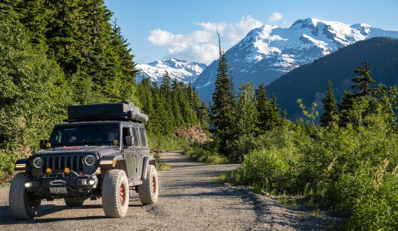
We continued climbing, leaving Hyder behind and eventually crossing back into British Columbia on the rough mountain road toward Salmon Glacier. Even before the glacier fully appeared, the drive felt extraordinary. Snow-striped peaks rose above the valley, narrow silver streams traced their way down dark rock faces, and every bend seemed to open onto another view that made us slow down again.
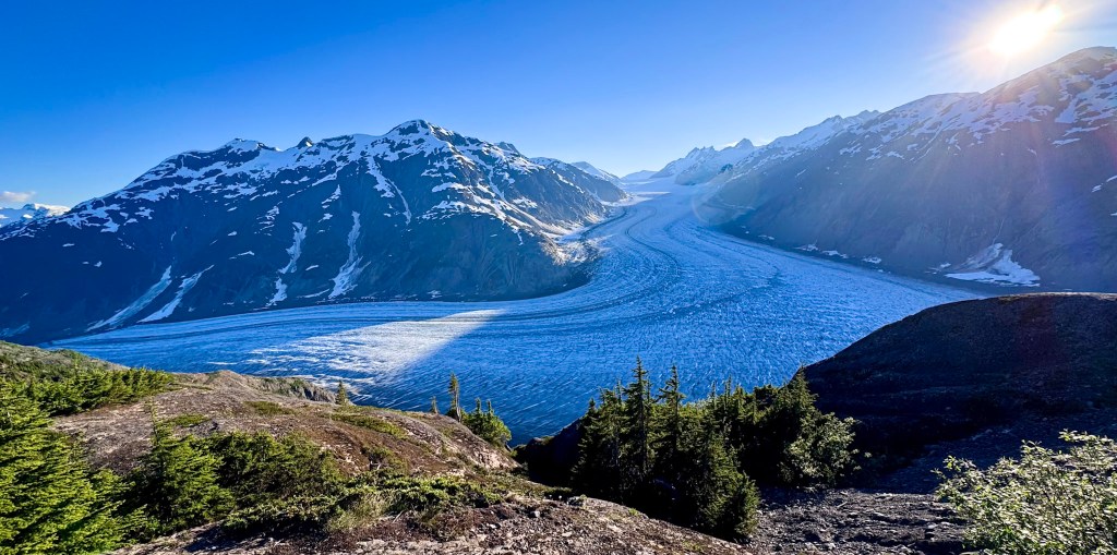
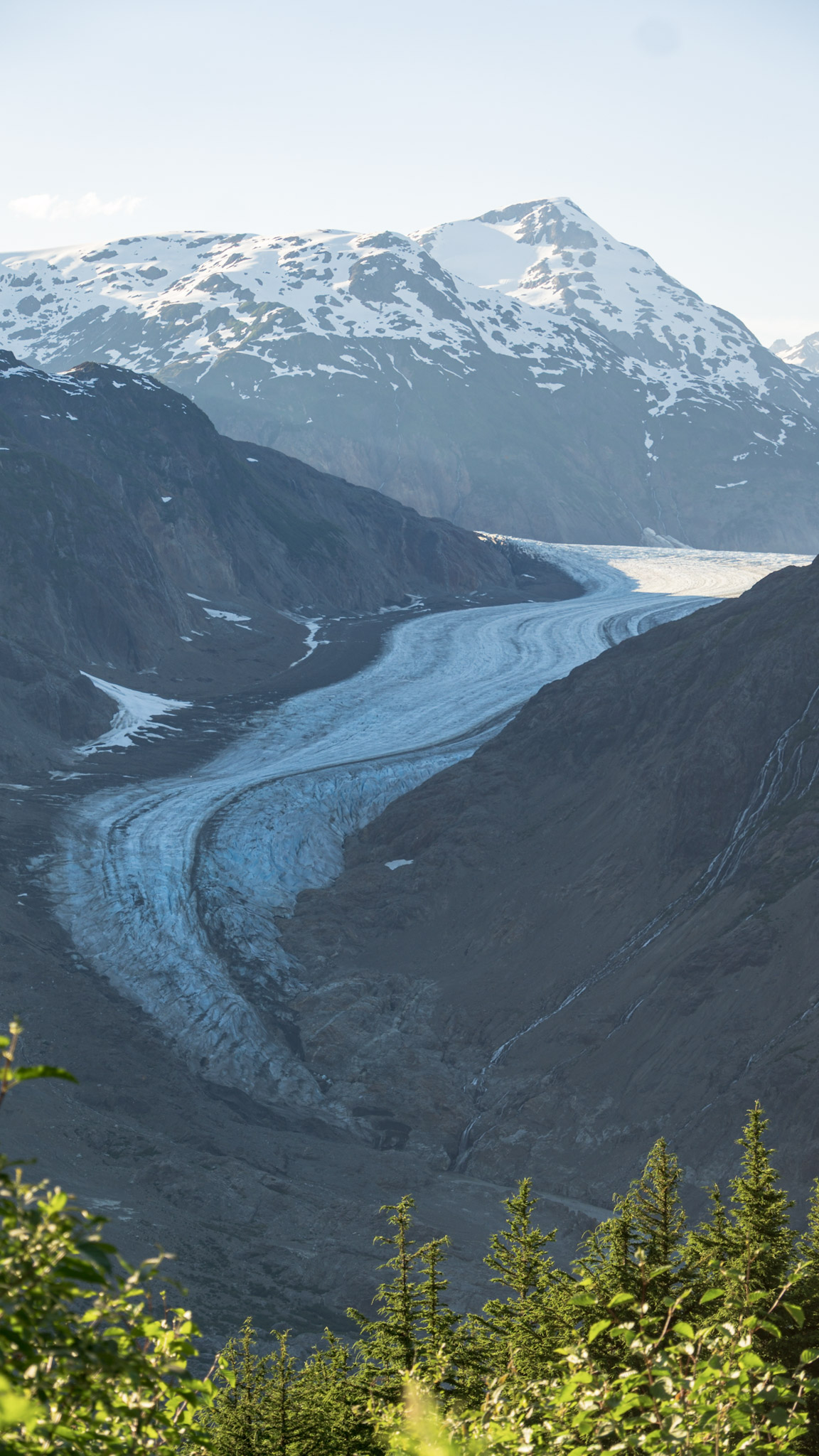
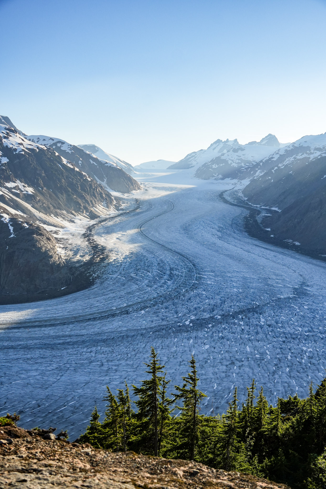
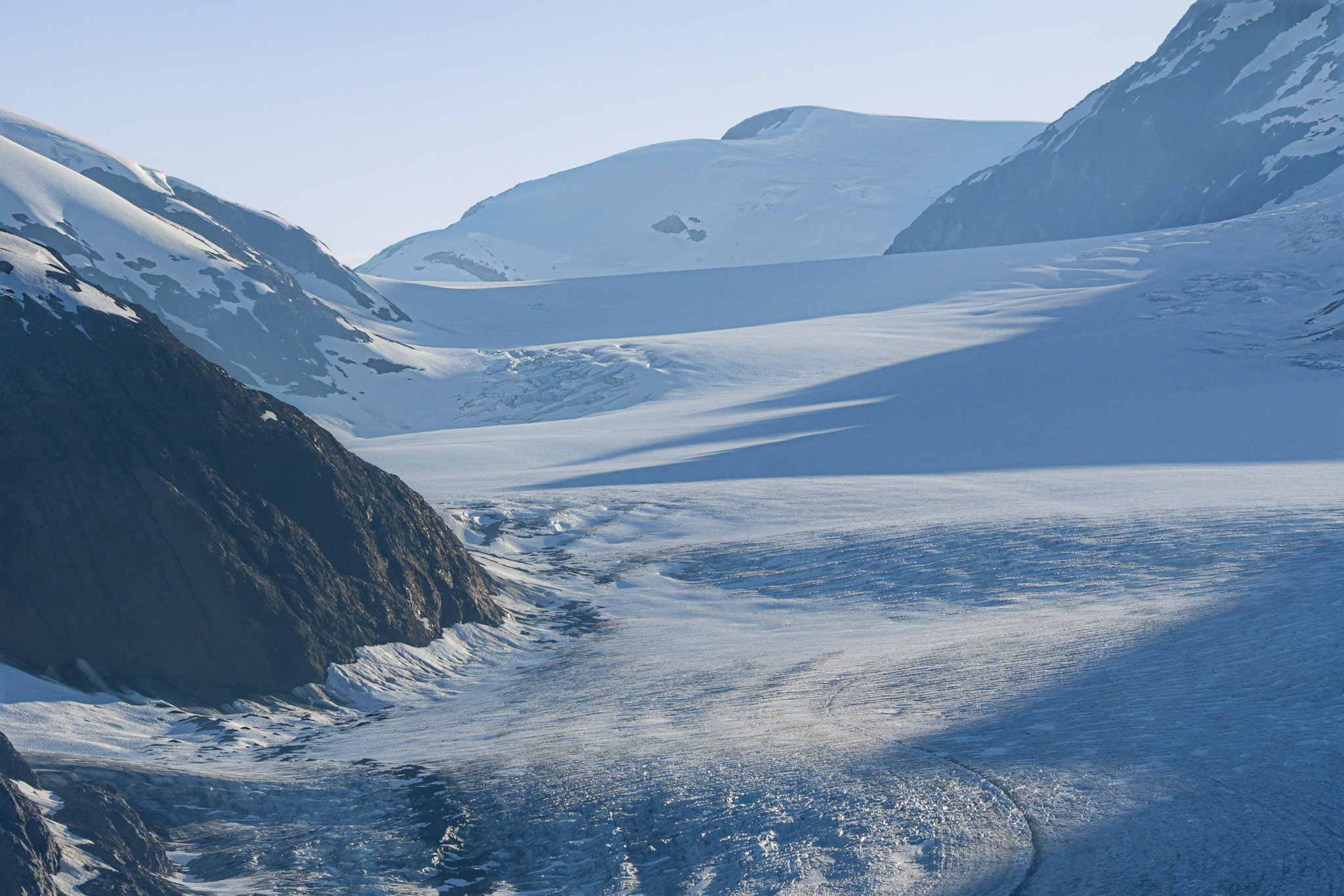
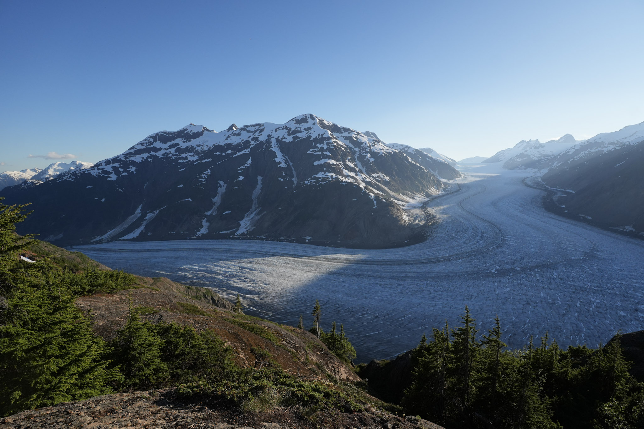
At first, I thought the glimpse of ice ahead was the view we had come for. A pale ribbon of glacier curled between the mountains, impressive enough on its own. But the road kept climbing, and with every turn, more of the icefield came into view. What had looked like a distant tongue of ice expanded into something immense—an enormous river of white, blue, and gray flowing through the mountains. Salmon Glacier, located in British Columbia but most easily reached through Hyder, is often described as the largest road-accessible glacier in North America, and from above it was easy to understand why.
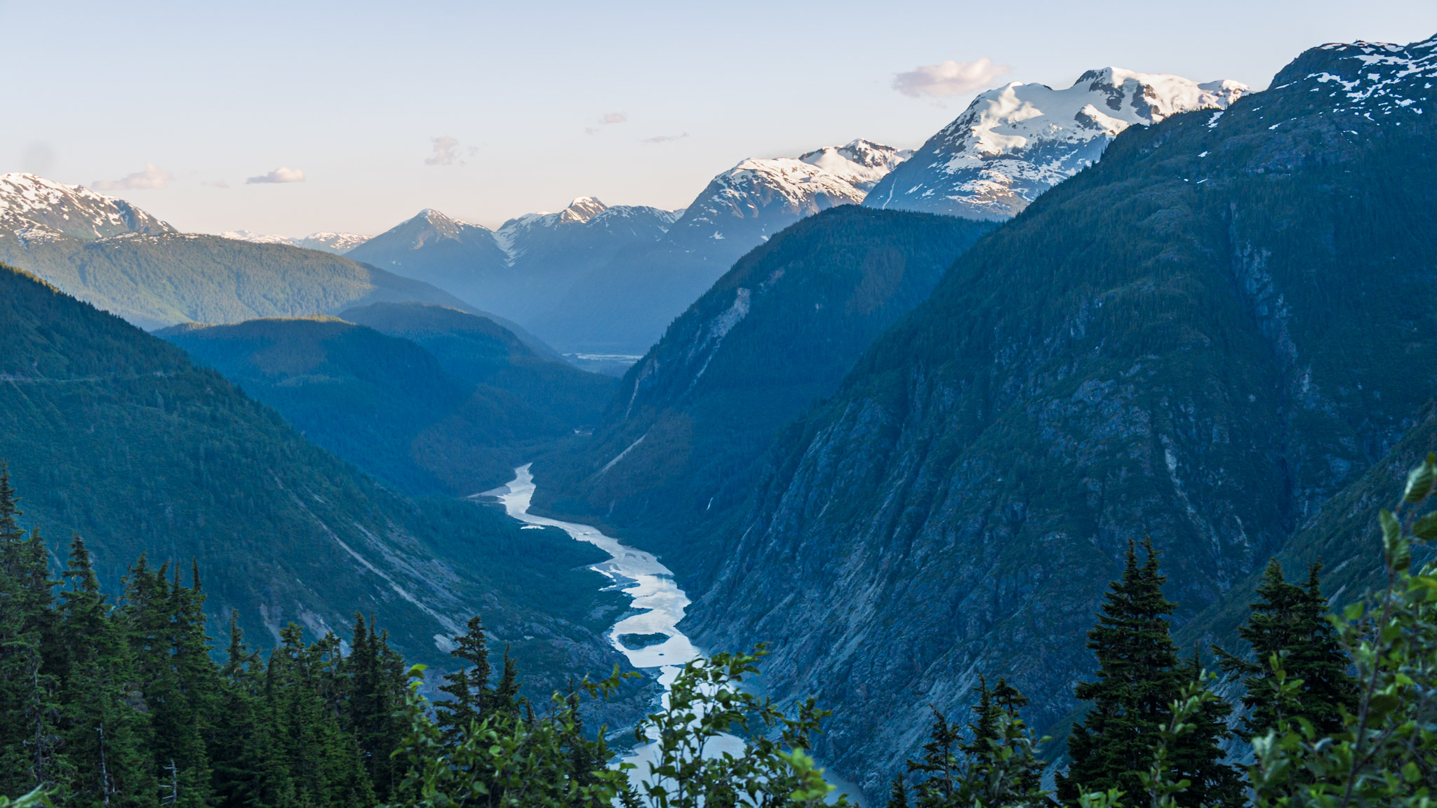
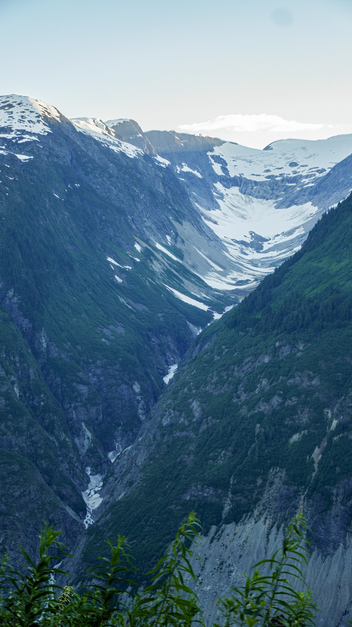
The higher we drove, the more the landscape unfolded around us. Below, the Salmon River braided through the valley floor, while waterfalls poured down the surrounding cliffs. Some fell in powerful ribbons; others appeared as delicate silver threads stitched into the mountainsides. Nearby ice-filled basins and hanging snowfields added to the feeling that the entire range had been shaped by water and ice. Even the road itself felt suspended within the scenery, winding along the mountainside with one remarkable view after another.
Then we reached the overlook, and the full sweep of Salmon Glacier finally revealed itself. From there, the glacier stretched far into the distance, curving through the valley like a frozen highway beneath the evening sun. Its surface showed far more texture than I expected—dark debris lines, rippled bands of compressed ice, and subtle shades of blue and gray running through the broad white expanse. As the light shifted lower, the glacier seemed to change with it, glowing brightly in some places while other sections cooled into shadow.
We stood there for a long while, simply taking it all in. After so many days of extraordinary scenery, Salmon Glacier still managed to feel like one of the most remarkable sights of the trip. This time, there was no need to search for a better viewpoint.
We had found it.
Alaska’s Final Evening
Eventually, the fading light reminded us that we still had to make our way back down the mountain and return to camp. As we descended toward Hyder, I kept looking back toward Salmon Glacier and the valley below. It was difficult to imagine a more fitting way to spend our final evening in Alaska.
Our journey through the state had begun far to the north, eventually carrying us across the Arctic Circle and all the way to the Arctic Ocean at Deadhorse. Now, after leaving Alaska once already, the road had somehow brought us back to this tiny community tucked against the Canadian border at the opposite end of the state’s road-accessible world.
From Arctic tundra to temperate rainforest, from the Arctic Ocean to glaciers flowing between coastal mountains, Alaska had never felt like a single landscape. It had felt like many different worlds stitched together by long roads, changing weather, wildlife, and the sense that something remarkable was always waiting around the next bend.
By the time we returned to Eagle Shadow Campground beneath Mount Hinckley, the day had finally begun to settle. We were surrounded by forest and mountains, back in Alaska for one last night, and this time the goodbye really was coming.
Tomorrow, we would explore a little more of Hyder before crossing back into British Columbia and continuing south. But for that evening, there was nowhere else we needed to be.
We were still in Alaska.
From My Field Journal
July 21, 2026 · Evening · Hyder, Alaska
Somehow, we are back in Alaska.
This morning we were looking at jade in northern British Columbia, and tonight we are camped beneath the mountains in Hyder after driving one of the most beautiful roads of the entire trip. The Glacier Highway was incredible—Bear Glacier, waterfalls everywhere, and mountains that seemed to rise straight above the road.
Fish Creek was changed by the recent flood, so there were no salmon or bears to watch, but we kept going. I’m so glad we did.
Salmon Glacier was breathtaking. The farther we climbed, the more of it appeared until this enormous river of ice filled the valley below us. Standing there in the evening light felt like Alaska had somehow saved one last extraordinary surprise for us.
Tonight we are back at camp for our final night in Alaska. This time, I think the goodbye really is coming.
EXPEDITION SNAPSHOT
THE ROUTE Jade City → Dease Lake → Meziadin Junction → Stewart → Hyder → Salmon Glacier
LANDSCAPE Clear northern lakes, boreal forest, snow-streaked mountains, coastal rainforest, braided river valleys, countless waterfalls, and immense glacier country
WILDLIFE Black bears, including a mother and cub feeding along the Cassiar Highway
STAYED Eagle Shadow Campground, Hyder, Alaska
MEMORABLE MOMENTS Driving beneath waterfalls on the Glacier Highway, returning to Alaska, seeing the flood damage at Fish Creek, climbing above the Salmon River valley, and watching evening light settle across Salmon Glacier
CHAPTER HIGHLIGHT Just when we thought Alaska was behind us, the road carried us back for one final night—and one unforgettable view above Salmon Glacier.
Next Chapter
Our final night in Alaska was behind us, and as we continued south through British Columbia, the journey began to change again.
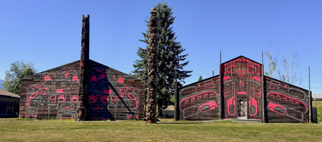
The next stretch would bring a deeper cultural focus, with stops that introduced us to the history, traditions, and stories of the First Nations communities along the route—including Gitwangak Battle Hill and ’Ksan Historical Village near Hazelton.
Next: Into the cultural heart of northern British Columbia.






Leave a Reply